Cumberland Township near Gettysburg in Adams County, Pennsylvania — The American Northeast (Mid-Atlantic)
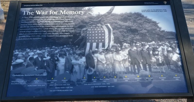
The War for Memory
| — | Gettysburg National Military Park | — |
Photographed by Karl Stelly, March 4, 2022
1. The War for Memory Marker
(caption)
Crowds gather for the dedication of the North Carolina Memorial on July 3, 1929.
Erected 2022 by National Park Service, U.S. Department of the Interior.
Topics. This historical marker is listed in this topic list: War, US Civil. A significant historical date for this entry is July 3, 1929.
Location. 39° 49.106′ N, 77° 14.85′ W. Marker is near Gettysburg, Pennsylvania, in Adams County. It is in Cumberland Township. It is on West Confederate Avenue 0.8 miles south of West Middle Street (Pennsylvania Route 116), on the left
this page online

Regionally, this marker is in South-Central Pennsylvania. It is also in the American Northeast, in the Mid-Atlantic, in Appalachia, and specifically in Northern Appalachia. Globally, it is in North America, the Western Hemisphere, the Western World, and the Anglosphere. Historically, it finds itself in what was once the Haudenosaunee (Iroquois) Confederacy and also one of the original Thirteen Colonies.
Other nearby markers. At least 8 other markers are within walking distance of this marker: Wingfield's Battery - Lane's Battalion (a few steps from this marker); North Carolina (a few steps from this marker); Heth's Division (within shouting distance of this marker); Lane's Battalion (within shouting distance of this marker); Davis's Brigade (within shouting distance of this marker); 11th Mississippi Infantry Regiment (within shouting distance of this marker); Graham's Battery - Poague's Battalion (within shouting distance
Photographed by Karl Stelly, March 4, 2022
2. The War for Memory Marker
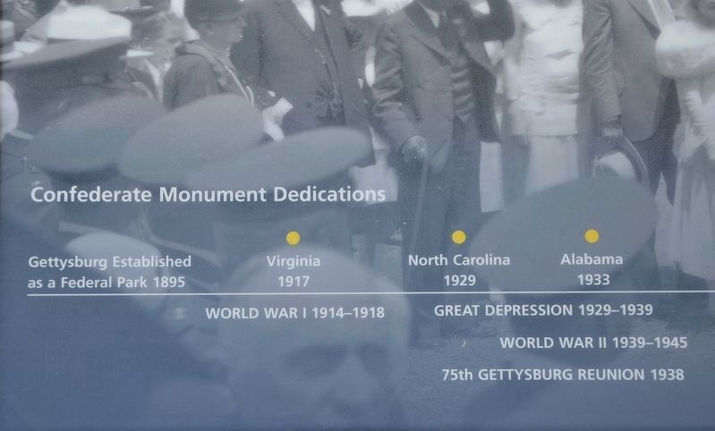
At the bottom of the marker is a timeline of Confederate state monument dedications on the battlefield at Gettysburg. (Left photo)
Another marker is no longer nearby. Confederate Line of Battle (was here, next to this marker but has been replaced with another marker now near it).
Related marker. Click here for another marker that is related to this marker. Old Marker At This Location titled "Confederate Line of Battle".
Also see . . . Gettysburg National Military Park. National Park Service (Submitted on April 20, 2022.)
Photographed by Karl Stelly, March 4, 2022
3. The War for Memory Marker
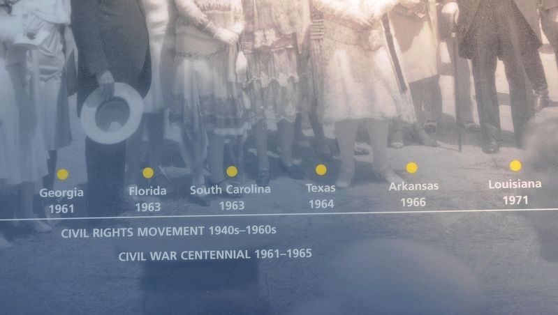
At the bottom of the marker is a timeline of Confederate state monument dedications on the battlefield at Gettysburg. (Center photo)
Photographed by Karl Stelly, March 4, 2022
4. The War for Memory Marker
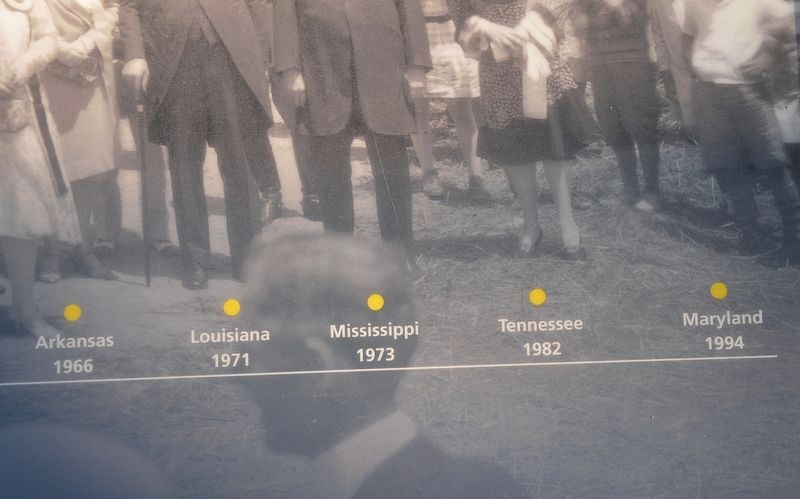
At the bottom of the marker is a timeline of Confederate state monument dedications on the battlefield at Gettysburg. (Right photo)
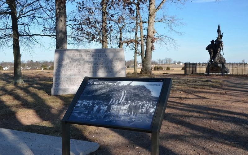
Photographed by Karl Stelly, March 4, 2022
5. The War for Memory Marker
The North Carolina State Memorial can be seen in the background.

Photographed by Tom Bosse, September 15, 2025
6. The War for Memory Marker
Credits. This page was last revised on December 8, 2025. It was originally submitted on April 19, 2022, by Karl Stelly of Gettysburg, Pennsylvania. This page has been viewed 567 times since then and 33 times this year. Photos: 1, 2, 3, 4, 5. submitted on April 19, 2022, by Karl Stelly of Gettysburg, Pennsylvania. 6. submitted on December 6, 2025, by Tom Bosse of Jefferson City, Tennessee. • Bernard Fisher was the editor who published this page.
