West Point in Fayette County, Texas — The American South (West South Central)
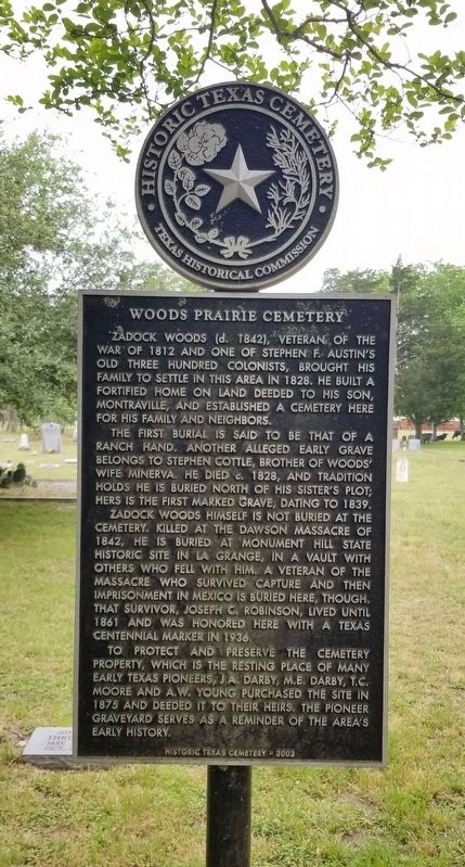
Woods Prairie Cemetery
The first burial is said to be that of a ranch hand. Another alleged early grave belongs to Stephen Cottle, brother of Woods' wife Minerva. He died c. 1828, and tradition holds he is buried north of his sister's plot; hers is the first marked grave, dating to 1839.
Zadock Woods himself is not buried at the cemetery. Killed at the Dawson Massacre of 1842, he is buried at Monument Hill State Historic Site in La Grange, in a vault with others who fell with him. A veteran of the massacre who survived capture and then imprisonment in Mexico is buried here, though. That survivor, Joseph C. Robinson, lived until 1861 and was honored here with a Texas Centennial marker in 1936.
To protect and preserve the cemetery property, which is the resting place of many early Texas pioneers, J.A. Darby, M.E. Darby, T.C. Moore and A.W. Young purchased the site in 1875 and deeded it to their heirs. The pioneer graveyard serves as a reminder of the area's early history.
Erected 2002 by Texas Historical Commission. (Marker Number 12854.)
Topics. This historical marker is listed in this topic list: Cemeteries & Burial Sites. A significant historical year for this entry is 1812.
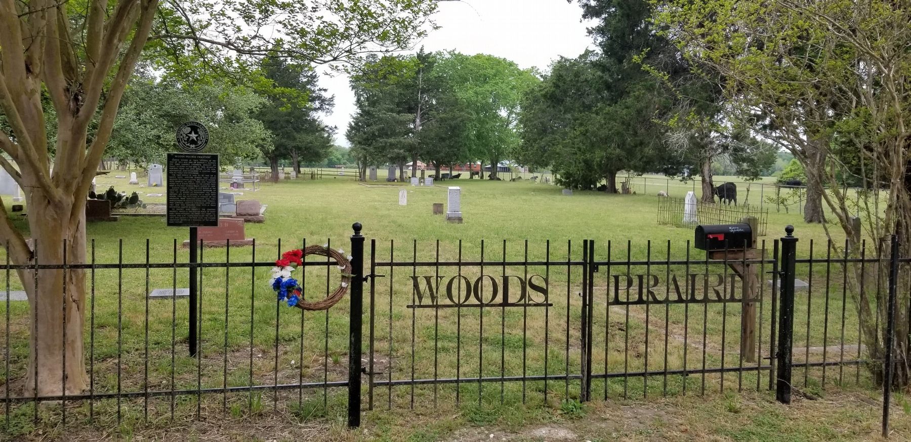
Location. 29° 56.791′ N, 97° 3.244′ W. Marker is in West Point, Texas, in Fayette County. Marker is on Woods Prairie Cemetery Lane, 0.4 miles north of State Highway 71, on the left when traveling north. The marker is located at the front entrance to the cemetery. Touch for map. Marker is at or near this postal address: 500 Woods Prairie Cemetery Lane, West Point TX 78963, United States of America. Touch for directions.
Other nearby markers. At least 8 other markers are within 6 miles of this marker, measured as the crow flies. Joseph C. Robinson (within shouting distance of this marker); Site of Woods' Fort (approx. 0.6 miles away); Old Plum Grove Cemetery (approx. 1.9 miles away); St. Peter Lutheran Church and Prairie Valley Cemetery (approx. 3˝ miles away); Saints Peter and Paul Old Catholic Cemetery (approx. 4.9 miles away); Shiloh Cemetery (approx. 5.1 miles away); Winchester Cemetery (approx. 5.2 miles away); Shiloh Missionary Baptist Church (approx. 5.2 miles away). Touch for a list and map of all markers in West Point.
Also see . . . Woods, Zadock (1773–1842).
Woods fought with Andrew Jackson in Alabama and New Orleans. After a lead-mining venture with Moses Austin ruined him financially, Woods and his family joined Stephen F. Austin's Texas colony in 1824. His original land grant was in Matagorda County, but the family settled farther up the Colorado River in Fayette County. His fortified home in the vicinity of present West Point was called Woods' Fort (or Woods' Prairie) and was used by the colonists as a place of refuge from Indian attacks from 1828 to 1842. Source: The Handbook of Texas(Submitted on April 19, 2022, by James Hulse of Medina, Texas.)
Credits. This page was last revised on April 19, 2022. It was originally submitted on April 19, 2022, by James Hulse of Medina, Texas. This page has been viewed 173 times since then and 12 times this year. Photos: 1, 2, 3. submitted on April 19, 2022, by James Hulse of Medina, Texas.


