West Point in Fayette County, Texas — The American South (West South Central)
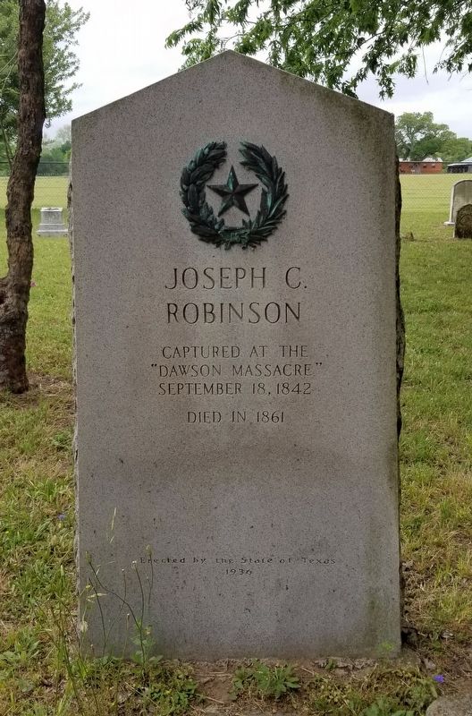
Joseph C. Robinson
September 18, 1842
Died in 1861
Erected 1936 by State of Texas. (Marker Number 4308.)
Topics and series. This historical marker is listed in these topic lists: Cemeteries & Burial Sites • War, Texas Independence. In addition, it is included in the Texas 1936 Centennial Markers and Monuments series list. A significant historical date for this entry is September 18, 1842.
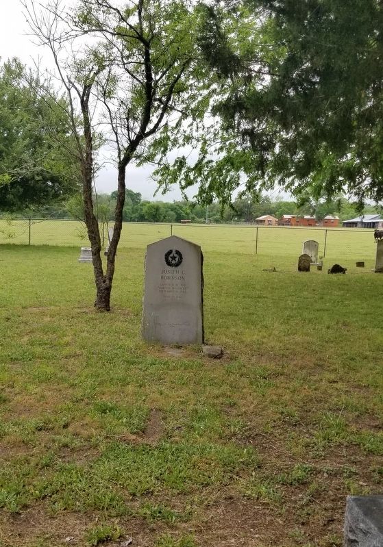
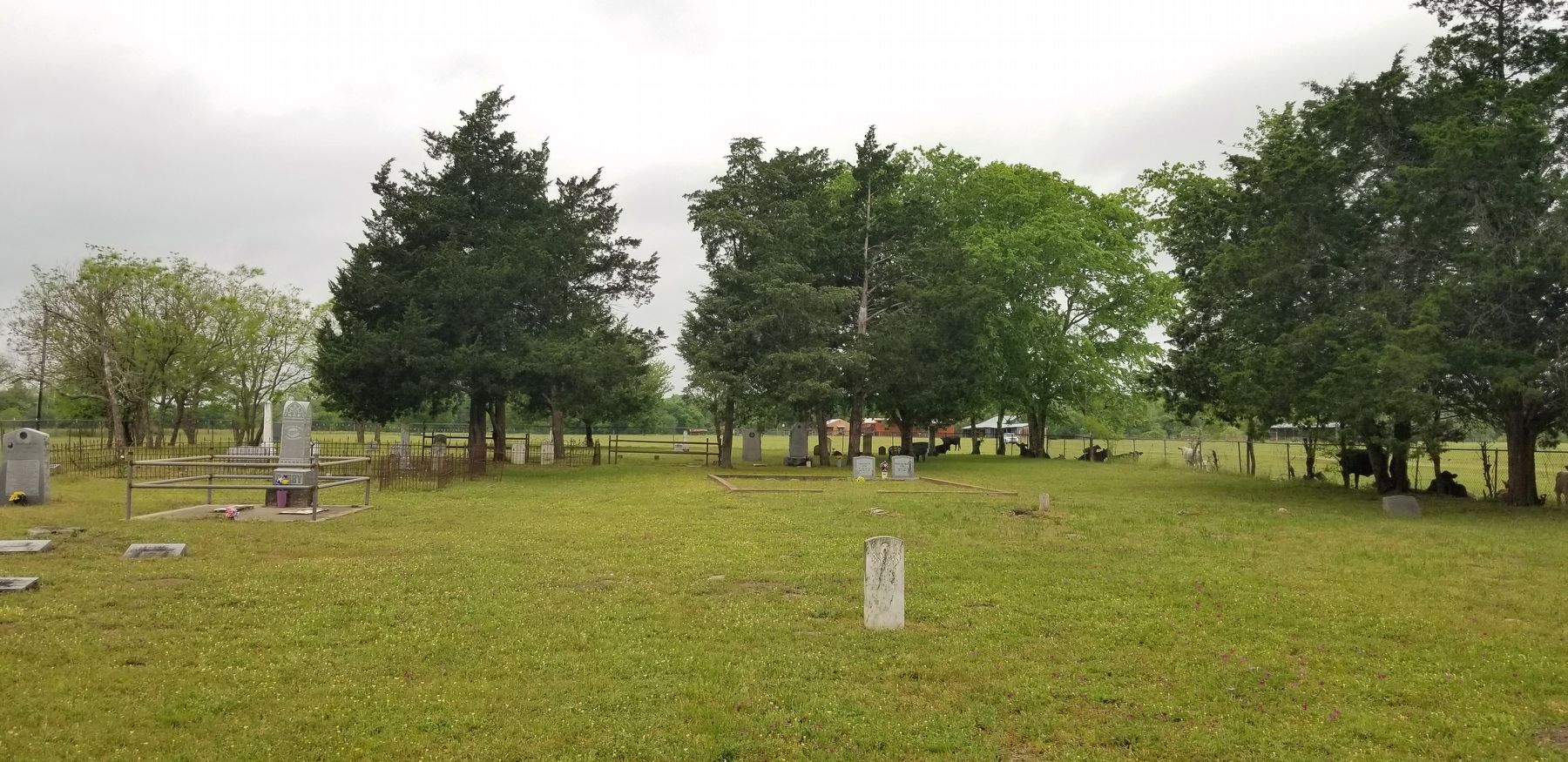
Location. 29° 56.794′ N, 97° 3.285′ W. Marker is in West Point, Texas, in Fayette County. Marker is on Woods Prairie Cemetery Lane, 0.4 miles north of State Highway 71, on the left when traveling north. The marker is located in the western section of the Woods Prairie Cemetery. Touch for map. Marker is at or near this postal address: 500 Woods Prairie Cemetery Lane, West Point TX 78963, United States of America. Touch for directions.
Other nearby markers. At least 8 other markers are within 6 miles of this marker, measured as the crow flies. Woods Prairie Cemetery (within shouting distance of this marker); Site of Woods' Fort (approx. half a mile away); Old Plum Grove Cemetery (approx. 1.9 miles away); St. Peter Lutheran Church and Prairie Valley Cemetery (approx. 3˝ miles away); Saints Peter and Paul Old Catholic Cemetery (approx. 4.9 miles away); Shiloh Cemetery (approx. 5.2 miles away); Winchester Cemetery (approx. 5.2 miles away); Shiloh Missionary Baptist Church (approx. 5.2 miles away). Touch for a list and map of all markers in West Point.
Also see . . . Dawson Massacre.
Dawson dismounted his men in a mesquite thicket where Fort Sam Houston now stands and threatened to "shoot the first man who runs." The Texans were quickly surrounded but repulsed a spirited cavalry charge and inflicted a number of casualties on the enemy. The Mexicans then fell back out of rifle range and opened fire on the Texans with their artillery. Source: The Handbook of Texas(Submitted on April 19, 2022, by James Hulse of Medina, Texas.)
Additional commentary.
1. State of Texas 1936 Historical Marker
This marker is a part of the State of Texas Historical markers for the War of Texas Independence. It also has information about the marker from the Atlas of Texas Historical sites including a Texas State marker number.
— Submitted April 19, 2022, by James Hulse of Medina, Texas.
Credits. This page was last revised on April 19, 2022. It was originally submitted on April 19, 2022, by James Hulse of Medina, Texas. This page has been viewed 119 times since then and 12 times this year. Photos: 1, 2, 3. submitted on April 19, 2022, by James Hulse of Medina, Texas.


