Ironville in Essex County, New York — The American Northeast (Mid-Atlantic)
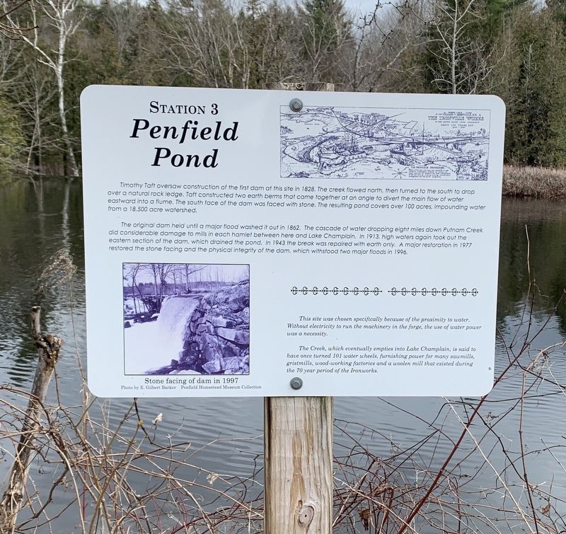
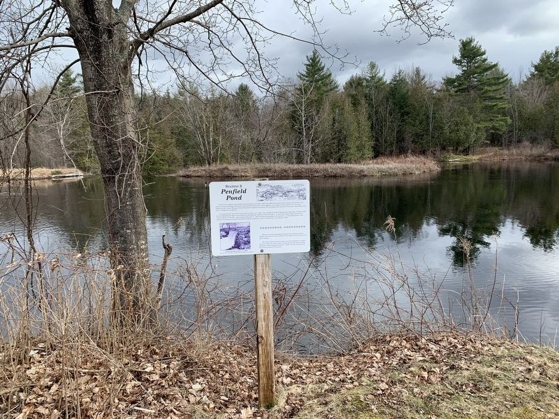
Penfield Pond
Station 3
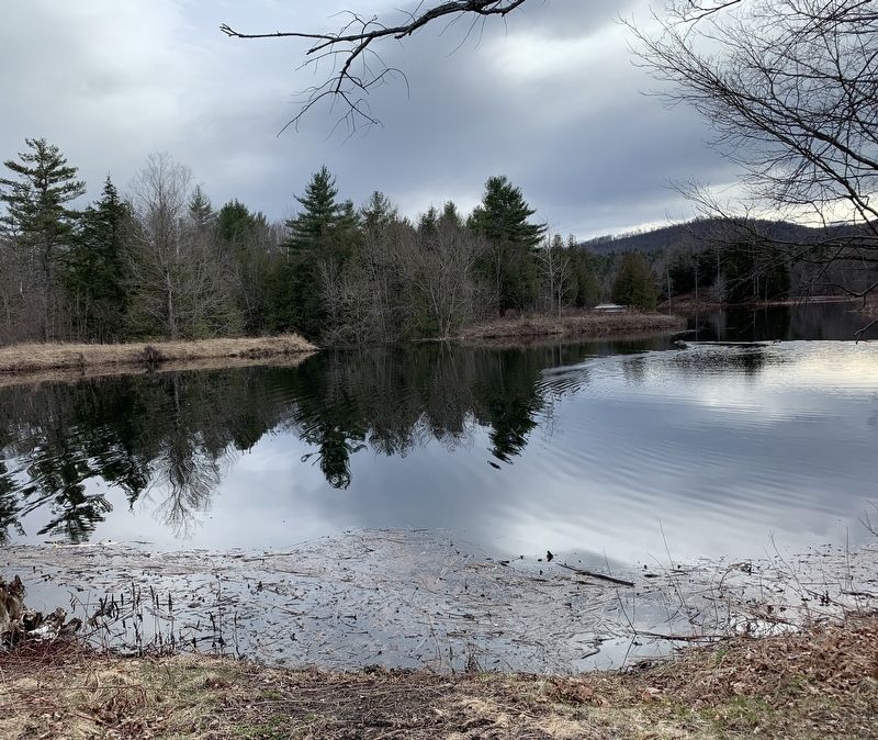
Timothy Taft oversaw construction of the first dam at this site in 1828. The creek flowed north, then turned to the south to drop over a natural rock ledge. Taft constructed two earth berms that came together at an angle to divert the main flow of water eastward into a flume. The south face of the dam was faced with stone. The resulting pond covers over 100 acres, impounding water from a 18,500 acre watershed.
The original dam held until a major flood washed it out in 1862. The cascade of water dropping eight miles down Putnam Creek did considerable damage to mills in each hamlet between here and Lake Champlain. In 1913, high waters again took out the eastern section of the dam, which drained the pond. In 1943 the break was repaired with earth only. A major restoration in 1977 restored the stone facing and the physical integrity of the dam, which withstood two major floods in 1996.
This site was chosen specifically because of the proximity to water. Without electricity to run the machinery in the forge, the use of water power was a necessity.
The Creek, which eventually empties into Lake Champlain, is said to have once turned 101 water wheels, furnishing power for many sawmills, gristmills, wood-working factories and a woolen mill that existed during the 70 year period of the Ironworks.
(photo caption)
Stone facing of dam in 1997 Photo by E. Gilbert Barker Penfield Homestead Museum Collection
(Marker Number 3.)
Topics. This historical marker is listed in these topic lists: Industry & Commerce • Waterways & Vessels. A significant historical year for this entry is 1828.
Location. 43° 55.312′ N, 73° 32.158′ W. Marker is in Ironville, New York, in Essex County. Marker can be reached from Creek Road (County Route 2) 0.1 miles west of Whitehead Road, on the left when traveling west. Touch for map. Marker is in this post office area: Crown Point NY 12928, United States of America. Touch for directions.
Other nearby markers. At least 8 other markers are within walking distance of this marker. Historic Walking Tour (within shouting distance of this marker); Irondale (within shouting distance of this marker); Penfield Homestead Museum (within shouting distance of this marker); 1873 Expansion (within shouting distance of this marker); a different marker also named Penfield Homestead Museum (within shouting distance of this marker); The Birthplace of the Electrical Age (within shouting distance of this marker); The Sons of Temperance Hall (within shouting distance of this marker); Ironville Historic District (within shouting distance of this marker). Touch for a list and map of all markers in Ironville.
Also see . . . Ironville Historic District - National Archives. National Register of Historic Places documentation (Submitted on February 6, 2024, by Anton Schwarzmueller of Wilson, New York.)
Credits. This page was last revised on February 6, 2024. It was originally submitted on April 19, 2022, by Steve Stoessel of Niskayuna, New York. This page has been viewed 168 times since then and 31 times this year. Photos: 1, 2, 3, 4. submitted on April 19, 2022, by Steve Stoessel of Niskayuna, New York. • Michael Herrick was the editor who published this page.


