
Ironville in Essex County, New York — The American Northeast (Mid-Atlantic)
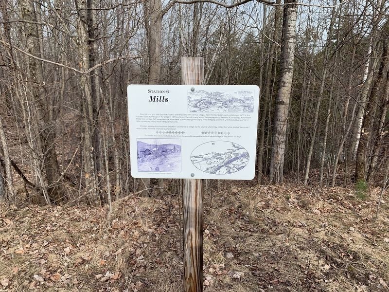
Mills
Station 6

Photographed by Steve Stoessel, April 10, 2022
1. Mills Marker
Sawmills and grist mills form the nucleus of every early 19th-century village. Allen Penfield purchased waterpower rights a few hundred yards further down the creek in 1809 and promptly built one of each. The partnership of Penfield & Taft sawed Adirondack timber into lumber. Taft supervised the works here, but Penfield continued to live in Pittsford, Vermont, until the discovery of iron in 1826 convinced him to move here permanently.
Children walking to school from "Brooklyn” could cross a bridge by the sawmill which they called the "white bridge” because it wasn't soiled from the charcoal dust and soot.
The timber that was turned into lumber from the sawmills was used to build all the buildings in and around the forge.
(Marker Number 6.)
Topics. This historical marker is listed in this topic list: Industry & Commerce. A significant historical year for this entry is 1809.
Location. 43° 55.33′ N, 73° 32.043′ W. Marker is in Ironville, New York, in Essex County. It can be reached from the intersection of Creek Road (County Route 2) and Peasley Road, on the left when traveling west. Touch for map. Marker is in this post
this page online

Regionally, this marker is in Upstate New York, in the Adirondacks & North Country, and in the Champlain Valley. It is also in the American Northeast and in the Mid-Atlantic. Globally, it is in North America, the Great North Woods, the Western Hemisphere, the Western World, and the Anglosphere. Historically, it finds itself in what was once the Viceroyalty of New France, New Netherland, and one of the original Thirteen Colonies.
Other nearby markers. At least 8 other markers are within walking distance of this marker: On The Train (a few steps from this marker); Dressed Ore (within shouting distance of this marker); Scale House (within shouting distance of this marker); Charcoal (about 300 feet away, measured in a direct line); 1873 Expansion (about 300 feet away); The Forge (about 300 feet away); Penfield Homestead Museum (about 500 feet away); Penfield Pond (about 500 feet away). Touch for a list and map of all markers in Ironville.
Another marker is no longer nearby. Birthplace of the Electrical Age (was about 500 feet away but
Photographed by Steve Stoessel, April 10, 2022
2. Mills Marker
Also see . . . Ironville Historic District - National Archives. National Register of Historic Places documentation (Submitted on February 6, 2024, by Anton Schwarzmueller of Wilson, New York.)
Photographed by Steve Stoessel, April 10, 2022
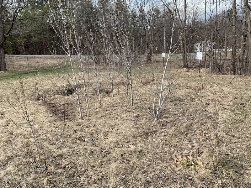
3. Mill Site With Marker In Background
Credits. This page was last revised on February 6, 2024. It was originally submitted on April 20, 2022, by Steve Stoessel of Niskayuna, New York. This page has been viewed 169 times since then and 13 times this year. Photos: 1, 2. submitted on April 20, 2022, by Steve Stoessel of Niskayuna, New York. 3. submitted on April 21, 2022, by Steve Stoessel of Niskayuna, New York. • Michael Herrick was the editor who published this page.
