Near Saluda in Saluda County, South Carolina — The American South (South Atlantic)
Ambush at Mine Creek
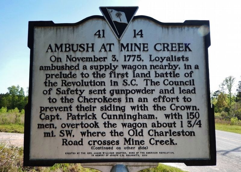
On November 3, 1775, Loyalists ambushed a supply wagon nearby, in a prelude to the first land battle of the Revolution in S.C. The Council of Safety sent gunpowder and lead to the Cherokees in an effort to prevent their siding with the Crown. Capt. Patrick Cunningham, with 150 men, overtook the wagon about 1¾ mi. SW, where the Old Charleston Road crosses Mine Creek.
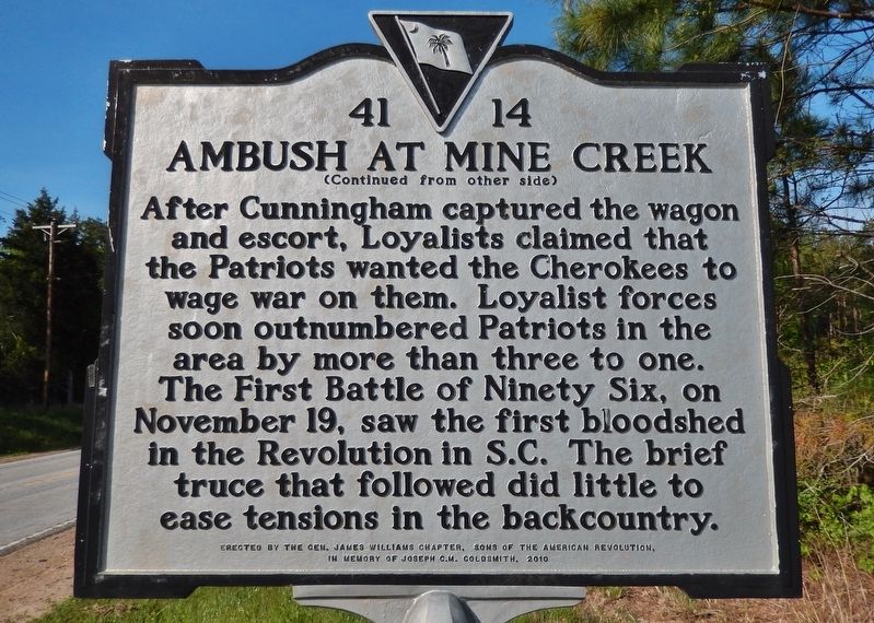
After Cunningham captured the wagon and escort, Loyalists claimed that the Patriots wanted the Cherokees to wage war on them. Loyalist forces soon outnumbered Patriots in the area by more than three to one. The First Battle of Ninety Six, on November 19, saw the first bloodshed in the Revolution in S.C. The brief truce that followed did little to ease tensions in the backcountry.
Erected by the Gen. James Williams Chapter, Sons of the American Revolution,
in memory of Joseph C.M. Goldsmith, 2010
Erected 2010 by Gen. James Williams Chapter, Sons of the American Revolution. (Marker Number 41-14.)
Topics and series. This historical marker is listed in these topic lists: Native Americans • War, US Revolutionary. In addition, it is included in the Sons of the American Revolution (SAR), and the South Carolina, Saluda County Historical Society series lists. A significant historical date for this entry is November 3, 1775.
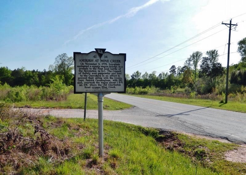
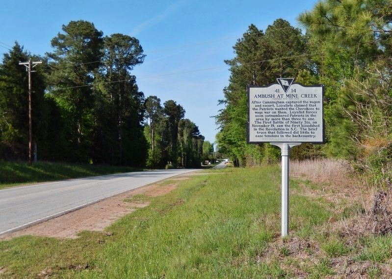
Location. 33° 57.053′ N, 81° 47.342′ W. Marker is near Saluda, South Carolina, in Saluda County. Marker is at the intersection of Johnston Highway (State Highway 121) and Old Charleston Road, on the left when traveling south on Johnston Highway. Marker is located at the northeast corner of the intersection. Touch for map. Marker is in this post office area: Saluda SC 29138, United States of America. Touch for directions.
Other nearby markers. At least 8 other markers are within 4 miles of this marker, measured as the crow flies. William Barret Travis (approx. 2.8 miles away); Savannah Bouknight Springs (approx. 3.4 miles away); At Old Saluda Town... (approx. 3.6 miles away); Saluda County Veterans Memorial (approx. 3.6 miles away); Travis / Bonham Memorial (approx. 3.6 miles away); Pierce M. Butler / The Palmetto Regiment (approx. 3.6 miles away); Clock Donated to the Town of Saluda and Saluda County (approx. 3.6 miles away); Historic Saluda (approx. 3.6 miles away). Touch for a list and map of all markers in Saluda.
Also see . . . The American Revolution in South Carolina: Mine Creek.
Loyalist Patrick Cunningham began recruiting supporters to help him free his brother, Robert Cunningham, from imprisonment in Charlestown. Robert Cunningham had been jailed on charges of sedition leveled by Capt. John Caldwell of the SC 3rd Regiment (Rangers) at the village of Ninety-Six on October 23rd. On November 3, 1775, Patrick Cunningham and his group of about sixty Loyalists captured a wagon train at Mine Creek en route to delivering gunpowder to the Cherokees from the First SC Provincial Congress. The Loyalists made prisoners of the guard of twenty Rangers and the officers and took them to the fort at Ninety-Six.(Submitted on April 21, 2022, by Cosmos Mariner of Cape Canaveral, Florida.)
Credits. This page was last revised on April 21, 2022. It was originally submitted on April 20, 2022, by Cosmos Mariner of Cape Canaveral, Florida. This page has been viewed 1,516 times since then and 332 times this year. Photos: 1. submitted on April 20, 2022, by Cosmos Mariner of Cape Canaveral, Florida. 2, 3, 4. submitted on April 21, 2022, by Cosmos Mariner of Cape Canaveral, Florida.


