Brampton in Peel Region, Ontario — Central Canada (North America)
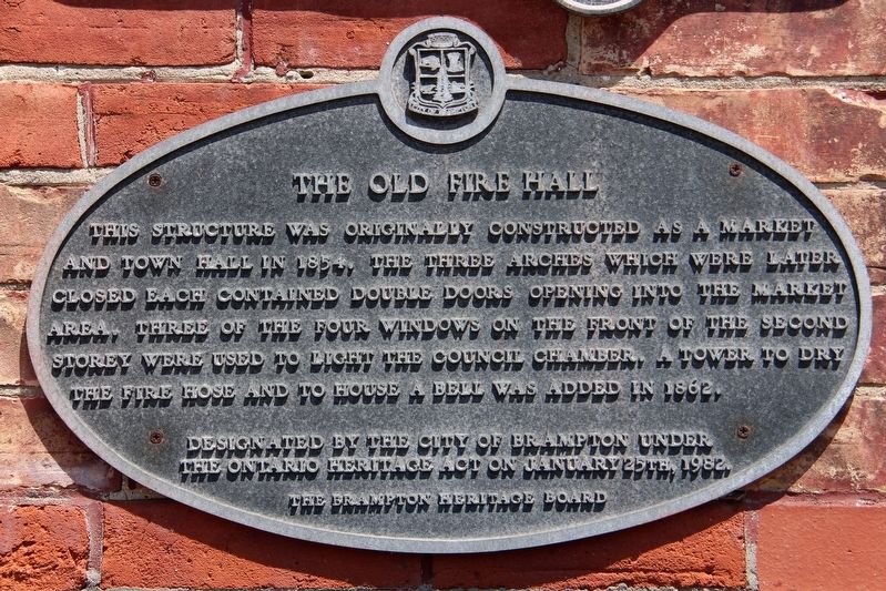
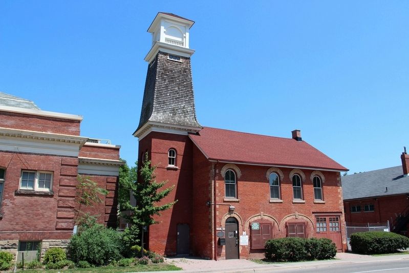
The Old Fire Hall
Designated by the City of Brampton under the Ontario Heritage Act on January 25th, 1982.
Erected by The Brampton Heritage Board.
Topics. This historical marker is listed in these topic lists: Architecture • Charity & Public Work • Industry & Commerce. A significant historical year for this entry is 1854.
Location. 43° 41.215′ N, 79° 45.498′ W. Marker is in Brampton, Ontario, in Peel Region. Marker is at the intersection of Chapel Street and Queen Street East, on the right when traveling west on Chapel Street. Touch for map. Marker is at or near this postal address: 6 Chapel St, Brampton ON L6W 2A8, Canada. Touch for directions.
Other nearby markers. At least 8 other markers are within 21 kilometers of this marker, measured as the crow flies. Peel County Court House / Le Palais De Justice Du Comté de Peel (about 210 meters away, measured in a direct line); The Hon. Thomas Laird Kennedy 1878-1959 (approx. 15.7 kilometers away); Remembering Our 1812 Heroes (approx. 16.4 kilometers away); Dixie Union Chapel (approx. 16.4 kilometers away); Canada’s First Aerodrome (approx. 20.2 kilometers away); The Government Inn (1798-1861) (approx. 20.5 kilometers away); Mrs. Mailman (approx. 20.5 kilometers away); Credit River - Rivière Crédit (approx. 21.1 kilometers away).
Credits. This page was last revised on April 22, 2022. It was originally submitted on April 22, 2022, by Duane and Tracy Marsteller of Murfreesboro, Tennessee. This page has been viewed 108 times since then and 12 times this year. Photos: 1, 2. submitted on April 22, 2022, by Duane and Tracy Marsteller of Murfreesboro, Tennessee.

