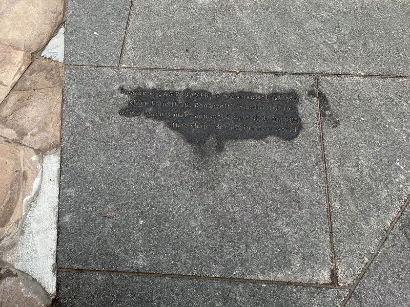
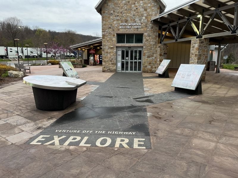
Near Myersville in Frederick County, Maryland — The American Northeast (Mid-Atlantic)
Camp David
Topics and series. This historical marker is listed in these topic lists: Government & Politics • Parks & Recreational Areas. In addition, it is included in the Former U.S. Presidents: #32 Franklin D. Roosevelt series list.
Location. 39° 31.502′ N, 77° 36.057′ W. Marker is near Myersville, Maryland, in Frederick County. Marker can be reached from Dwight D. Eisenhower Highway (Interstate 70) 2 miles north of Maryland Route 17, on the right when traveling west. Touch for map. Marker is at or near this postal address: 1650 Dwight D Eisenhower Hwy, Myersville MD 21773, United States of America. Touch for directions.
Other nearby markers. At least 8 other markers are within walking distance of this marker. Underground Railroad (here, next to this marker); The Battle of Antietam (here, next to this marker); Explore Maryland at the Crossroads of Conflict (here, next to this marker); The Historic National Road (here, next to this marker); Explore Maryland as the Crucible of the Nation (here, next to this marker); Washington County (here, next to this marker); Frederick County (here, next to this marker); C&O Canal (here, next to this marker). Touch for a list and map of all markers in Myersville.
Related marker. Click here for another marker that is related to this marker. An identical marker can be found on the eastbound rest area.
Credits. This page was last revised on April 23, 2022. It was originally submitted on April 23, 2022, by Devry Becker Jones of Washington, District of Columbia. This page has been viewed 115 times since then and 18 times this year. Photos: 1, 2. submitted on April 23, 2022, by Devry Becker Jones of Washington, District of Columbia.

