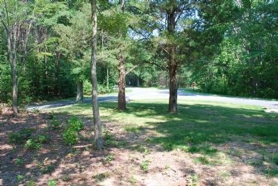
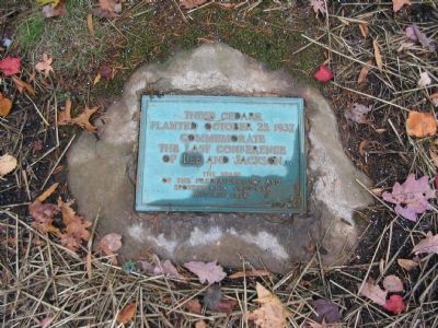
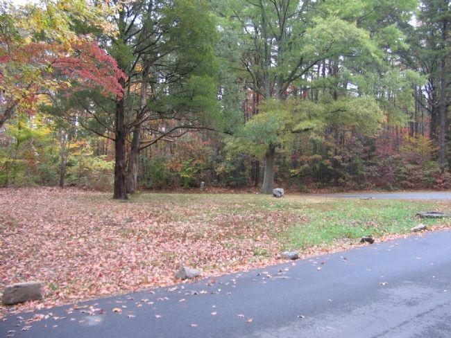
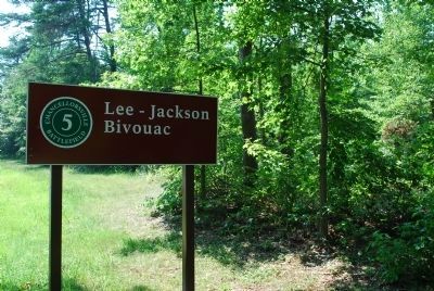
Near Spotsylvania Courthouse in Spotsylvania County, Virginia — The American South (Mid-Atlantic)
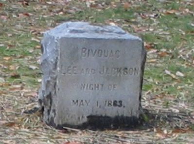
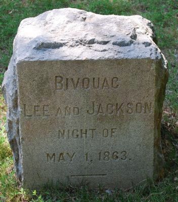
Bivouac
Erected 1903 by Mr. Thomas Fortune Ryan & Capt. James Power Smith.
Topics. This historical marker is listed in this topic list: War, US Civil. A significant historical date for this entry is May 1, 1863.
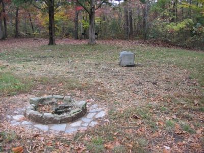
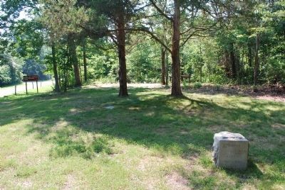
Location. 38° 17.696′ N, 77° 37.517′ W. Marker is near Spotsylvania Courthouse, Virginia, in Spotsylvania County. Marker is at the intersection of McLaws Drive and Old Plank Road, on the right when traveling south on McLaws Drive. Located at tour stop five of the Driving tour of the Battle of Chancellorsville. Touch for map. Marker is at or near this postal address: 8402 Furnace Rd, Spotsylvania VA 22553, United States of America. Touch for directions.
Other nearby markers. At least 8 other markers are within walking distance of this marker. Chancellorsville Campaign (here, next to this marker); A Bold Plan (a few steps from this marker); Final Meeting, Fateful March (a few steps from this marker); a different marker also named Chancellorsville Campaign (within shouting distance of this marker); McLaws Trail (approx. 0.4 miles away); Wounding of Jackson (approx. 0.7 miles away); a different marker also named Chancellorsville Campaign (approx. 0.7 miles away); First Day at Chancellorsville (approx. 0.8 miles away). Touch for a list and map of all markers in Spotsylvania Courthouse.
More about this marker. This marker is one in a series of ten that were placed on Spotsylvania area battlefields on August 6 & 7, 1903. Funded by the New York philanthropist Thomas Fortune Ryan and their locations selected and placement supervised by Capt. James Power Smith (The last surviving member of Confederate Lt. Gen. Thomas "Stonewall" Jackson's staff.).
Regarding Bivouac. This is one of several markers for the Battle of Chancellorsville along McLaws Drive, Furnace Road, Sickles Drive, and East Jackson Trail, on the east side of the battlefield. See the McLaws's Line to Catharine Furnace Virtual Tour by Markers in the links section for a listing of related markers on the tour.
Also see . . .
1. Battle of Chancellorsville. National Parks Service Site. (Submitted on November 16, 2007, by Craig Swain of Leesburg, Virginia.)
2. McLaws's Line to Catharine Furnace Virtual Tour by Markers. Spread across a two mile segment on the east side of the battlefield, this virtual tour by markers covers action from May 1-3, 1863. (Submitted on November 16, 2007, by Craig Swain of Leesburg, Virginia.)
Credits. This page was last revised on April 27, 2022. It was originally submitted on November 16, 2007, by Craig Swain of Leesburg, Virginia. This page has been viewed 1,546 times since then and 34 times this year. Last updated on April 23, 2022, by Anonymous of Fredericksburg, Virginia. Photos: 1. submitted on November 16, 2007, by Craig Swain of Leesburg, Virginia. 2. submitted on July 25, 2015, by Brandon Fletcher of Chattanooga, Tennessee. 3. submitted on November 16, 2007, by Craig Swain of Leesburg, Virginia. 4, 5. submitted on July 25, 2015, by Brandon Fletcher of Chattanooga, Tennessee. 6, 7. submitted on November 16, 2007, by Craig Swain of Leesburg, Virginia. 8, 9. submitted on July 25, 2015, by Brandon Fletcher of Chattanooga, Tennessee. • Bernard Fisher was the editor who published this page.
