Near Afton in Augusta County, Virginia — The American South (Mid-Atlantic)
West Side Features Then & Now
An arched culvert on the west side still funnels rainwater as it flows down the slope. In the Masonic tradition, only a master stonemason can inscribe the central stone, or keystone, that holds an arch in place. The keystone for the arched culvert features the Masonic symbols of a T-square and compass. It lacks the American custom of a “G” in the center space between the missing “G,” which stands for Great Architect of the Universe and for geometry, strongly suggests that a master European stone mason-in this case, an Irish man-carved the images on the keystone.
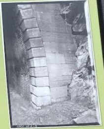
The most impressive west side landmark is the arched west side portal of the Blue Ridge Tunnel. Expert Irish stonemasons most probably cut, dressed and installed the locally quarried stones in 1851. Claudius Crozet was precise in his instructions for the arch. He required stones “two-feet wide on the face” and “of the best available quality, with chamfered edges.”
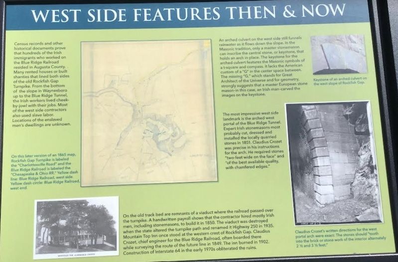
On the old track are the remnants of a viaduct where the railroad passed over the turnpike. A handwritten payroll shows that the contractor mostly hired Irish men, including stonemasons, to build it in 1850. The viaduct was destroyed when the state altered the turnpike path and renamed it Highway 250 in 1935. Mountain Top Inn once stood at the western crest of Rockfish Gap. Claudius Crozet, chief engineer for the Blue Ridge Railroad, often boarded there while surveying the route of the future line in 1849. The inn burned in 1902. Construction of Interstate 64 in the early 1970’s obliterated the ruins.
(captions)
On this later version of an 1865 map, Rockfish Gap Turnpike is labeled the ‘Charlottesville Road” and the Blue Ridge Railroad is labeled the “Chesapeake and Ohio RR.” Yellow dash line: Blue Ridge Railroad, West side. Yellow dash circle: Blue Ridge Railroad, West end.
Keystone of an arched culvert on the west slope of Rockfish Gap.
Claudius Crozet’s written directions for the west portal arch were exact: The stones should “tooth into the brick or stone work of the interior alternately 2½ and 3½ feet.”
Topics. This historical marker is listed in these topic lists: Architecture • Parks & Recreational Areas • Railroads & Streetcars.
Location. 38° 2.511′ N, 78° 51.764′ W. Marker is near Afton, Virginia, in Augusta County. Marker can be reached from Three Notched Mountain Highway (U.S. 250) 0.8 miles north of Interstate 64, on the left when traveling west. Located along the westen end of the Blue Ridge Tunnel Trail. Touch for map. Marker is at or near this postal address: 483 Three Notched Mountain Hwy, Waynesboro VA 22980, United States of America. Touch for directions.
Other nearby markers. At least 8 other markers are within walking distance of this marker. Tiny Creatures Of The Dark (about 300 feet away, measured in a direct line); Dr. Robert Sumter Griffith (about 600 feet away); They Died Building the Railroad (about 600 feet away); Problems & Solutions (approx. 0.2 miles away); West Trailhead (approx. 0.3 miles away); Rockfish Gap (approx. half a mile away); Park-to-Park Beauty (approx. 0.7 miles away); Welcome to Shenandoah National Park (approx. 0.7 miles away). Touch for a list and map of all markers in Afton.
Also see . . .
1. Claudius Crozet Blue Ridge Tunnel Foundation. (Submitted on April 26, 2022.)
2. Blue Ridge Tunnel. Wikipedia (Submitted on April 26, 2022.)
Credits. This page was last revised on April 26, 2022. It was originally submitted on April 25, 2022, by Riley Jacob Robert Borton of Spring Hope, North Carolina. This page has been viewed 133 times since then and 16 times this year. Photos: 1, 2, 3, 4. submitted on April 25, 2022, by Riley Jacob Robert Borton of Spring Hope, North Carolina. • Bernard Fisher was the editor who published this page.
Editor’s want-list for this marker. Wide shot of marker and its surroundings. • Can you help?


