Snook in Burleson County, Texas — The American South (West South Central)
Community of Snook
(Originally Located One Mile West)
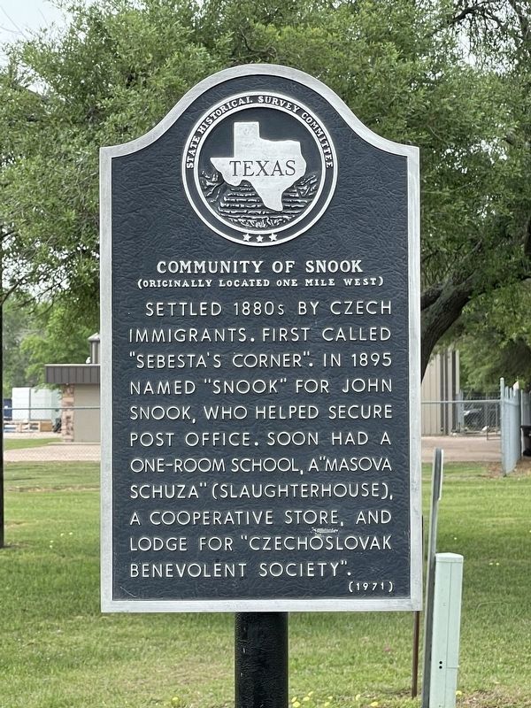
Photographed by Brian Anderson, April 15, 2022
1. Community of Snook Marker
Settled 1880s by Czech immigrants. First called "Sebesta's Corner". In 1895 named "Snook" for John Snook, who helped secure post office. Soon had a one-room school, a "masova schuza" (slaughterhouse), a cooperative store, and lodge for "Czechoslovak Benevolent Society".
Erected 1971 by State Historical Survey Committee. (Marker Number 8653.)
Topics. This historical marker is listed in this topic list: Settlements & Settlers. A significant historical year for this entry is 1895.
Location. 30° 29.455′ N, 96° 27.985′ W. Marker is in Snook, Texas, in Burleson County. It is at the intersection of Farm to Market Road 2155 and Loop Farm to Market Road 2155, on the right when traveling south on Road 2155. Touch for map. Marker is in this post office area: Somerville TX 77879, United States of America. Touch for directions.

Regionally, this marker is in the Prairies & Lakes Region. It is also in the American South. Globally, it is in North America, a Gulf of Mexico state, the Western Hemisphere, the Western World, and the Anglosphere. Historically, it finds itself in what was once New Spain, the Republic of Texas,
this page online
Other nearby markers. At least 8 other markers are within 9 miles of this marker, measured as the crow flies: Snook Brethren Church (approx. 0.3 miles away); Dabney Hill Freedom Colony (approx. 0.9 miles away); Snook Cemetery (approx. 1.1 miles away); Giesenschlag Cemetery (approx. 2.2 miles away); Lone Oak Baptist Church (approx. 4.6 miles away); Brazos Bottom Baptist Church Cemetery (approx. 4.9 miles away); Providence Cemetery (approx. 7.3 miles away); San Salvador Mission Church (approx. 8.6 miles away). Touch for a list and map of all markers in Snook.
Also see . . . Snook, TX - The Handbook of Texas Online. Texas State Historical Association (TSHA) (Submitted on April 26, 2022, by Brian Anderson of New Albany, Ohio.)
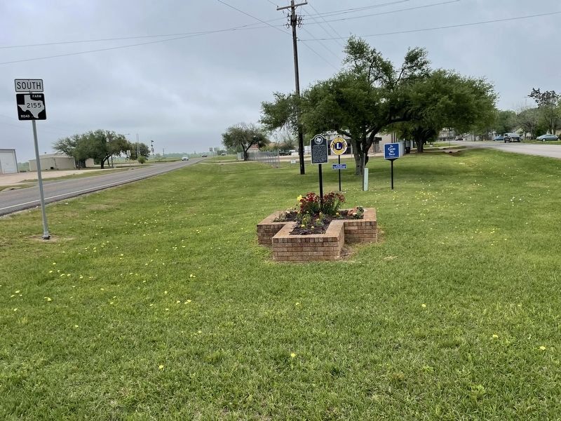
Photographed by Brian Anderson, April 15, 2022
2. Community of Snook Marker
Credits. This page was last revised on February 3, 2026. It was originally submitted on April 26, 2022, by Brian Anderson of New Albany, Ohio. This page has been viewed 555 times since then and 86 times this year. Photos: 1, 2. submitted on April 26, 2022, by Brian Anderson of New Albany, Ohio.
