
Cumberland Township near Round Top in Adams County, Pennsylvania — The American Northeast (Mid-Atlantic)
Holding Houck's Ridge
July 2, 4:00 pm
| — | Gettysburg National Military Park | — |
Photographed by Karl Stelly, January 25, 2021
1. Holding Houck's Ridge Marker
(captions)
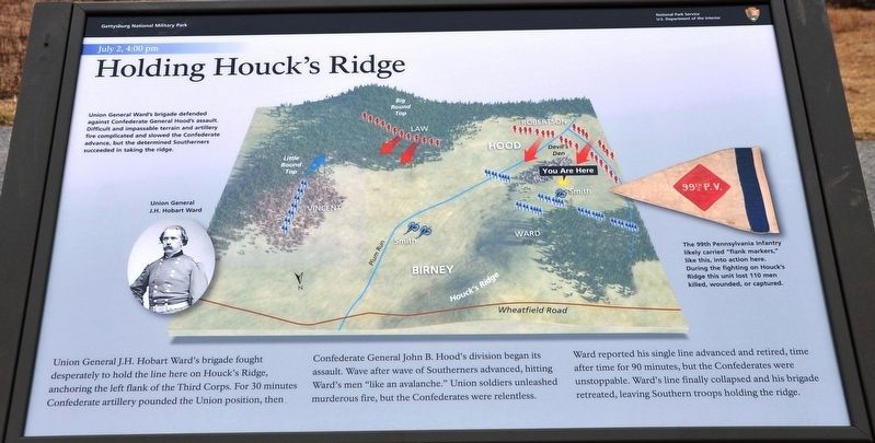
Union General Ward's brigade defended against Confederate General Hood's assault. Difficult and impassable terrain and artillery fire complicated and slowed the Confederate advance, but the determined Southerners succeeded in taking the ridge.
Union General J.H. Hobart Ward
The 99th Pennsylvania infantry likely carried "flank markers," like this, into action here. During the fighting on Houck's Ridge this unit lost 110 men killed, wounded, or captured.
Erected 2021
this page online
Topics. This historical marker is listed in this topic list: War, US Civil. A significant historical date for this entry is July 2, 1863.
Location. 39° 47.533′ N, 77° 14.55′ W. Marker is near Round Top, Pennsylvania, in Adams County. It is in Cumberland Township. It is on Sickles Avenue 0.3 miles west of Warren Avenue, on the right when traveling north. Located in the Devil's Den area of the battlefield. Touch for map. Marker is in this post office area: Gettysburg PA 17325, United States of America. Touch for directions.

Regionally, this marker is in South-Central Pennsylvania. It is also in the American Northeast, in the Mid-Atlantic, in Appalachia, and specifically in Northern Appalachia. Globally, it is in North America, the Western Hemisphere, the Western World, and the Anglosphere. Historically, it finds itself in what was once the Haudenosaunee (Iroquois) Confederacy and also one of the original Thirteen Colonies.
Other nearby markers. At least 8 other markers are within walking distance of this marker: 4th New York Independent Battery (a few steps from this marker);
Photographed by Karl Stelly, January 25, 2021
2. Holding Houck's Ridge Marker
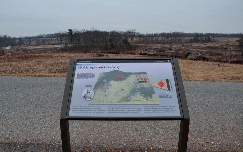
This view looks towards the west.
Other markers no longer nearby. Smith's New York Battery (was a few steps from this marker but has been replaced with another marker now near it); The Fight for Devil's Den (was a few steps from this marker but has been replaced with another marker now near it); Confederate Sharpshooter? (was within shouting distance of this marker but has been reported to have been replaced with another marker now near it).
Related marker. Click here for another marker that is related to this marker. Old Marker At This Location titled "Smith's New York Battery".
Also see . . . Gettysburg National Military Park. National
Photographed by Karl Stelly, January 25, 2021
3. Holding Houck's Ridge Marker
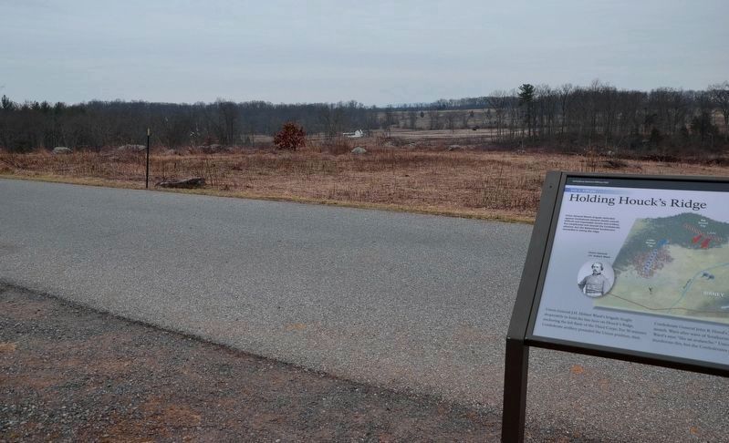
This view looks towards the southwest. The Slyder Farm can be seen in the middle background.
Photographed by Karl Stelly, April 28, 2022
4. A Pair of New Markers
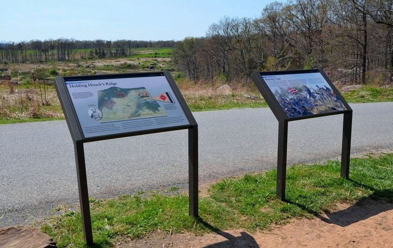
These two new wayside markers are along Sickles Avenue at the top of Devil's Den. The marker on the left is entitled "Holding Houck's Ridge," and the one on the right is entitled "Buying Time."
Credits. This page was last revised on February 7, 2023. It was originally submitted on April 28, 2022, by Karl Stelly of Gettysburg, Pennsylvania. This page has been viewed 2,619 times since then and 198 times this year. Photos: 1, 2, 3. submitted on April 28, 2022, by Karl Stelly of Gettysburg, Pennsylvania. 4. submitted on April 29, 2022, by Karl Stelly of Gettysburg, Pennsylvania. • Bernard Fisher was the editor who published this page.
