Near Warrington in Escambia County, Florida — The American South (South Atlantic)
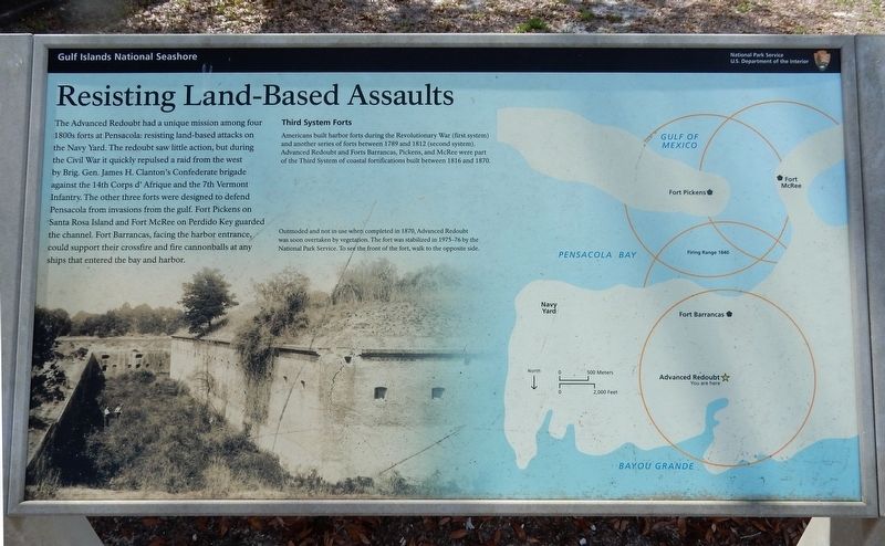
Resisting Land-based Assaults
Third System Forts
Americans built harbor forts during the Revolutionary War (first system) and another series of forts between 1789 and 1812 (second system). Advanced Redoubt and Forts Barrancas, Pickens, and McRee were part of the Third System of coastal fortifications built between 1816 and 1870.
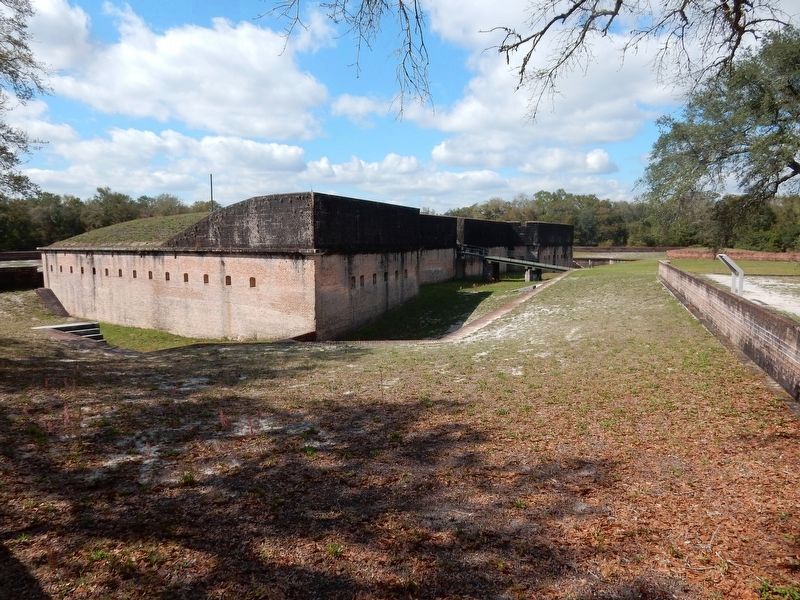
[Caption] Outmoded and not in use when completed in 1870, Advanced Redoubt was soon overtaken by vegetation. The fort was stabilized in 1975-76 by the National Park Service. To see the front of the fort, walk to the opposite side.
Erected by National Park Service.
Topics. This historical marker is listed in these topic lists: Forts and Castles • War, US Civil. A significant historical year for this entry is 1870.
Location. 30° 21.322′ N, 87° 17.811′ W. Marker is near Warrington, Florida, in Escambia County. Marker can be reached from Taylor Road south of Tow Road, on the right when traveling south. Marker is at Advanced Redoubt of Fort Barrancas, part of the Gulf Islands National Seashore. Touch for map. Marker is in this post office area: Pensacola FL 32508, United States of America. Touch for directions.
Other nearby markers. At least 8 other markers are within walking distance of this marker. Spain to Pensacola (approx. half a mile away); Pathway to Early America (approx. half a mile away); First Pensacola (approx. half a mile away); The National Flight Academy (approx. half a mile away); The Cradle of Naval Aviation (approx. half a mile away); U.S. Navy and Coast Guard Memorial (approx. half a mile away); Officers of the Uniformed Services Memorial (approx. half a mile away); Navy Seabees Veterans Memorial (approx. half a mile away).
More about this marker. It is within Naval Air Station Pensacola. Visitors are required to have a military ID card and/or prior permission to enter.
Credits. This page was last revised on April 29, 2022. It was originally submitted on April 29, 2022, by Duane and Tracy Marsteller of Murfreesboro, Tennessee. This page has been viewed 116 times since then and 27 times this year. Photos: 1, 2. submitted on April 29, 2022, by Duane and Tracy Marsteller of Murfreesboro, Tennessee.

