Livermore in Alameda County, California — The American West (Pacific Coastal)
From Borax to Burgundy
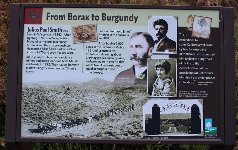
Julius joined his brother Francis in a mining and borax works at Teels Marsh in Nevada in 1872. They hauled borax to market in the now famous 20-mule teams.
Francis purchased Julius' interest in the business in 1884.
After buying 2,000 acres in the Livermore Valley in 1881, Julius turned his attention to learning about growing grapes, making wine, and proving to the world that wines from California could equal or surpass those from Europe.
Erected by Livermore Area Recreation and Park District.
Topics. This historical marker is listed in these topic lists: Agriculture • Industry & Commerce • Settlements & Settlers. A significant historical year for this entry is 1881.
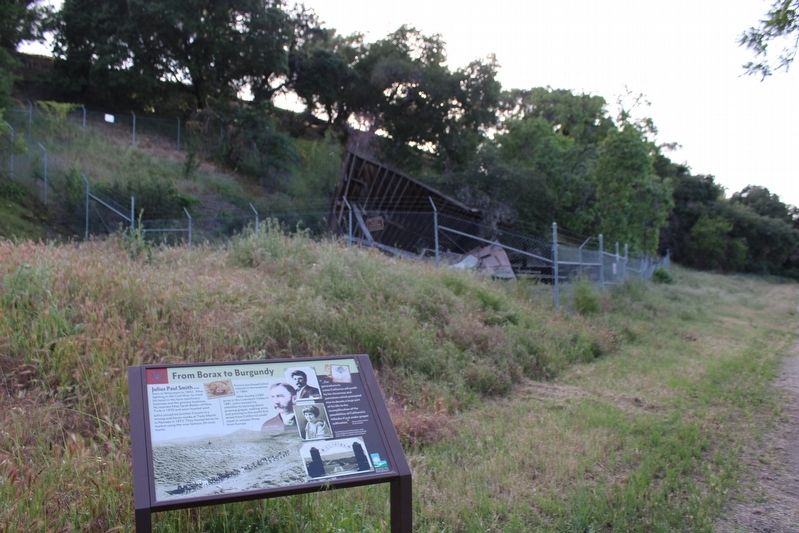
Location. 37° 38.003′ N, 121° 46.501′ W. Marker is in Livermore, California, in Alameda County. Marker can be reached from Wetmore Road. The marker is located in Sycamore Grove Park on the Winery Loop Trail. At one mile, it is equidistant from either the Wetmore Road gate or Arroyo Road gate. Touch for map. Marker is at or near this postal address: 1051 Wetmore Road, Livermore CA 94550, United States of America. Touch for directions.
Other nearby markers. At least 8 other markers are within 3 miles of this marker, measured as the crow flies. Birth of an Industry (here, next to this marker); A Natural Supermarket and Hardware Store (approx. 0.8 miles away); Supervisor Edward R. Campbell Foot Bridge (approx. 1.2 miles away); Cresta Blanca Winery (approx. 1.2 miles away); Ravenswood Historic Site Vineyards (approx. 1.3 miles away); Max Baer (approx. 2.4 miles away); The Gables (approx. 2.7 miles away); On this Site Stood the Hydropathic Building (approx. 2.9 miles away). Touch for a list and map of all markers in Livermore.
Credits. This page was last revised on May 16, 2022. It was originally submitted on April 30, 2022, by Joseph Alvarado of Livermore, California. This page has been viewed 139 times since then and 26 times this year. Photos: 1, 2. submitted on April 30, 2022, by Joseph Alvarado of Livermore, California. • Syd Whittle was the editor who published this page.

