Cumberland Township near Round Top in Adams County, Pennsylvania — The American Northeast (Mid-Atlantic)
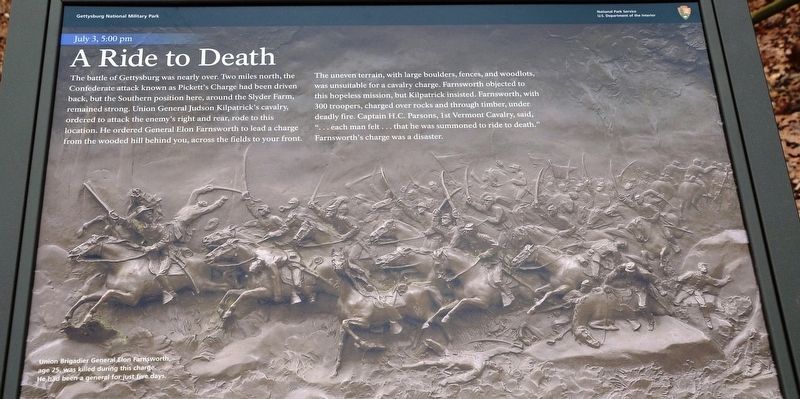
A Ride to Death
July 3, 5:00 pm
— Gettysburg National Military Park —
The uneven terrain, with large boulders, fences, and woodlots, was unsuitable for a cavalry charge. Farnsworth objected to this hopeless mission, but Kilpatrick insisted. Farnsworth, with 300 troopers, charged over rocks and through timber, under deadly fire. Captain H.C. Parsons, 1st Vermont Cavalry, said, "...each man felt...that he was summoned to ride to death." Farnsworth's charge was a disaster.
Erected 2021 by National Park Service, U.S. Department of the Interior.
Topics. This historical marker is listed in this topic list: War, US Civil. A significant historical date for this entry is July 3, 1863.
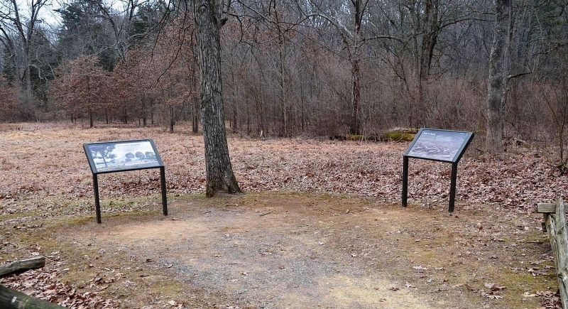
Location. 39° 47.13′ N, 77° 14.788′ W. Marker is near Round Top, Pennsylvania, in Adams County. It is in Cumberland Township. Marker is on South Confederate Avenue, 0.9 miles east of Emmitsburg Road (Business U.S. 15), on the left when traveling east. Located at a wayside pulloff between Bushman Hill and Big Round Top. Touch for map. Marker is in this post office area: Gettysburg PA 17325, United States of America. Touch for directions.
Other nearby markers. At least 8 other markers are within walking distance of this marker. Farm Field to Battlefield (here, next to this marker); William Wells (about 400 feet away, measured in a direct line); First Brigade (about 500 feet away); Battery E, Fourth U.S. Artillery (about 700 feet away); 5th New York Cavalry (approx. 0.2 miles away); 18th Pennsylvania Cavalry (approx. 0.2 miles away); First Regiment Vermont Cavalry (approx. 0.2 miles away); Third Division (approx. 0.2 miles away). Touch for a list and map of all markers in Round Top.
Related marker. Click here for another marker that is related to this marker. Old Marker At This Location titled "Farnsworth's Cavalry Charge".
Also see . . . Gettysburg National Military Park. National Park Service (Submitted on May 1, 2022.)
Credits. This page was last revised on February 7, 2023. It was originally submitted on April 30, 2022, by Karl Stelly of Gettysburg, Pennsylvania. This page has been viewed 324 times since then and 60 times this year. Photos: 1, 2. submitted on April 30, 2022, by Karl Stelly of Gettysburg, Pennsylvania. • Bernard Fisher was the editor who published this page.

