Northwest Calgary in Rocky View, Alberta — Canada’s Prairie Region (North America)
The Bridge
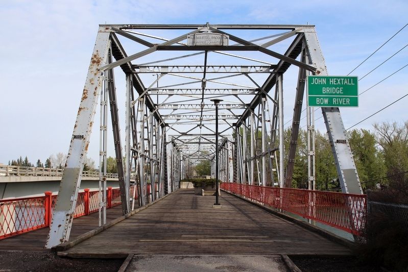
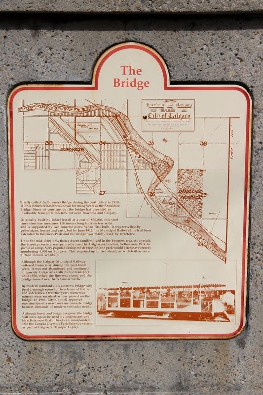
Originally built by John Hextall at a cost of $75,000, this steel truss structure measures 118 meters long by 8 meters wide and is supported by two concrete piers. When first built, it was travelled by pedestrians, horses and carts, but by June 1912, the Municipal Railway line had been extended to Bowness Park and the bridge was mainly used by streetcars.
Up to the mid-1920s, less than a dozen families lived in the Bowness area. As a result, the streetcar service was primarily used by Calgarians heading to Bowness Park to picnic or camp. Very popular during the depression, the park would often have crowds numbering 4,000 on Sundays. This required up to two streetcars with trailers on a fifteen minute schedule.
Although the Calgary Municipal Railway suffered financially during the post-boom years, it was not abandoned and continued to provide Calgarians with public transport until 1950, when the line was closed and the bridge turned over to vehicular traffic.
By modern standards it is a narrow bridge with barely enough room for two lanes of traffic and sidewalks. Over the years numerous mirrors were smashed as cars passed on the bridge. In 1985, City Council approved construction of a new two-lane concrete bridge to meet demands of modern vehicular needs.
Although horse and buggy are gone, the bridge will once again be used by pedestrians and bicyclists now that it has been incorporated into the Canada Olympic Park Pathway system as part of Calgary's Olympic Legacy.
Topics. This historical marker is listed in these topic lists: Bridges & Viaducts • Railroads & Streetcars. A significant historical year for this entry is 1911.
Location. 51° 4.728′ N, 114° 10.327′ W. Marker is in Calgary, Alberta, in Rocky View. It is in Northwest Calgary. Marker is on Bow River Pathway Bridge at Bowness, 0.2 kilometers north of 52 Street Northwest, in the median. Marker is in a concrete post in the center of the bridge. Touch for map. Marker is at or near this postal address: 9122 Bowness Rd NW, Calgary AB, Canada. Touch for directions.
Other nearby markers. At least 8 other markers are within 8 kilometers of this marker, measured as the crow flies. Soldiers Memorial (approx. 6.8 kilometers away); Mewata Armoury (approx. 6.8 kilometers away); Mewata Armoury / Le manege militaire Mewata (approx. 6.9 kilometers away); Grace Dewis and boys in front of Mewata Armouries (approx. 6.9 kilometers away); Remembrance Day Ceremonies inside Mewata Armouries, 1953

cmh2315fl via Flickr (CC BY-NC 2.0), May 17, 2015
2. The Bridge Marker
Marker (not visible) is on a concrete post between the two planters.
Credits. This page was last revised on July 10, 2023. It was originally submitted on May 1, 2022, by Duane and Tracy Marsteller of Murfreesboro, Tennessee. This page has been viewed 148 times since then and 33 times this year. Photos: 1, 2. submitted on May 1, 2022, by Duane and Tracy Marsteller of Murfreesboro, Tennessee.
