Cumberland Township near Round Top in Adams County, Pennsylvania — The American Northeast (Mid-Atlantic)
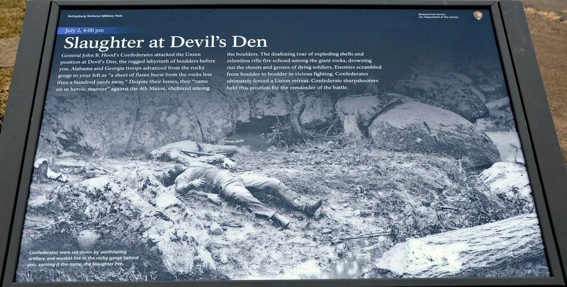
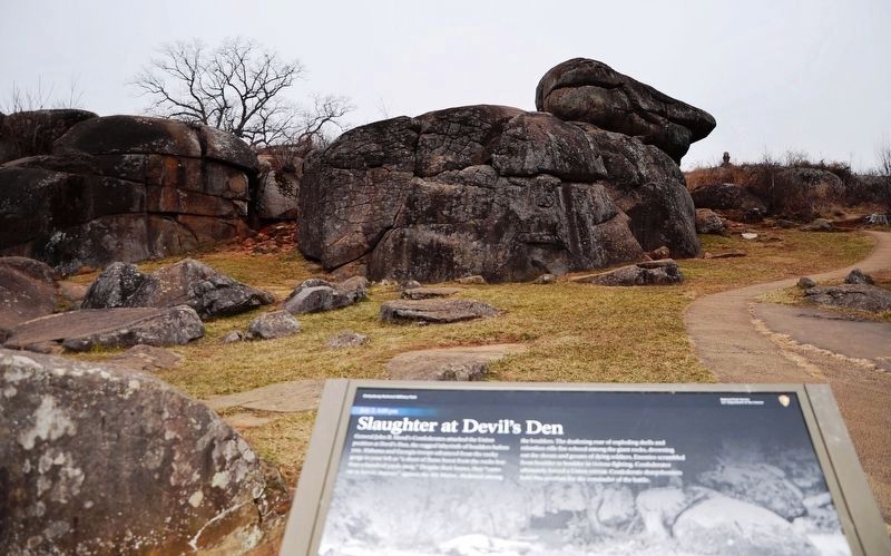
Slaughter at Devil's Den
July 2, 4:00 pm
— Gettysburg National Military Park —
(caption)
Confederates were cut down by annihilating artillery and musket fire in the rocky gorge behind you, earning it the name, the Slaughter Pen.
Erected 2021 by National Park Service, U.S. Department of the Interior.
Topics. This historical marker is listed in this topic list: War, US Civil. A significant historical date for this entry is July 2, 1863.
Location. 39° 47.49′ N, 77° 14.515′ W. Marker is near Round Top, Pennsylvania, in Adams County. It is in Cumberland Township. Marker is on Sickles Avenue, 0.1 miles west of Warren Avenue, on the right when traveling west. Located next to the parking lot for the Devil's Den area. Touch for map. Marker is in this post office area: Gettysburg PA 17325, United States of America. Touch for directions.
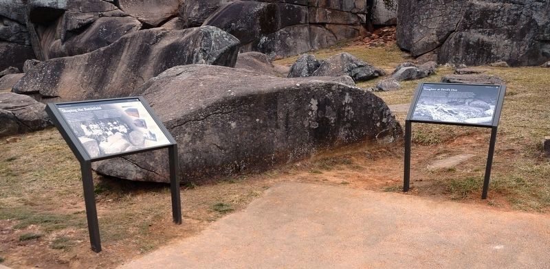
Other nearby markers. At least 8 other markers are within walking distance of this marker. Shaping the Battlefield (here, next to this marker); Little Round Top Rehabilitation (within shouting distance of this marker); 4th Maine Infantry (within shouting distance of this marker); The Attack on Devil's Den (within shouting distance of this marker); 4th New York Independent Battery (within shouting distance of this marker); Civil War Photography (about 300 feet away, measured in a direct line); Holding Houck's Ridge (about 300 feet away); Robertson's Brigade (about 300 feet away). Touch for a list and map of all markers in Round Top.
Related marker. Click here for another marker that is related to this marker. Old Marker At This Location titled "Devil's Den and the Slaughter Pen".
Also see . . . Gettysburg National Military Park. National Park Service (Submitted on May 1, 2022.)
Additional commentary.
1. About the Marker
This marker, along with the marker next to it, entitled "Shaping the Battlefield," have been temporarily removed. An extensive rehabilitation project is now underway at the Devil's Den. The walking paths
are being reworked, and the park is also working on some erosion control in the area. These new markers should be re-installed after all the work is done.
— Submitted May 1, 2022, by Karl Stelly of Gettysburg, Pennsylvania.
Credits. This page was last revised on February 7, 2023. It was originally submitted on May 1, 2022, by Karl Stelly of Gettysburg, Pennsylvania. This page has been viewed 293 times since then and 48 times this year. Photos: 1, 2, 3. submitted on May 1, 2022, by Karl Stelly of Gettysburg, Pennsylvania. • Bernard Fisher was the editor who published this page.


