Near Mankato in Blue Earth County, Minnesota — The American Midwest (Upper Plains)
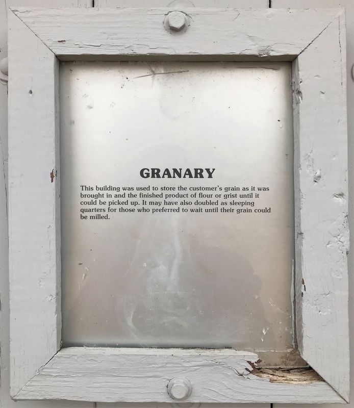
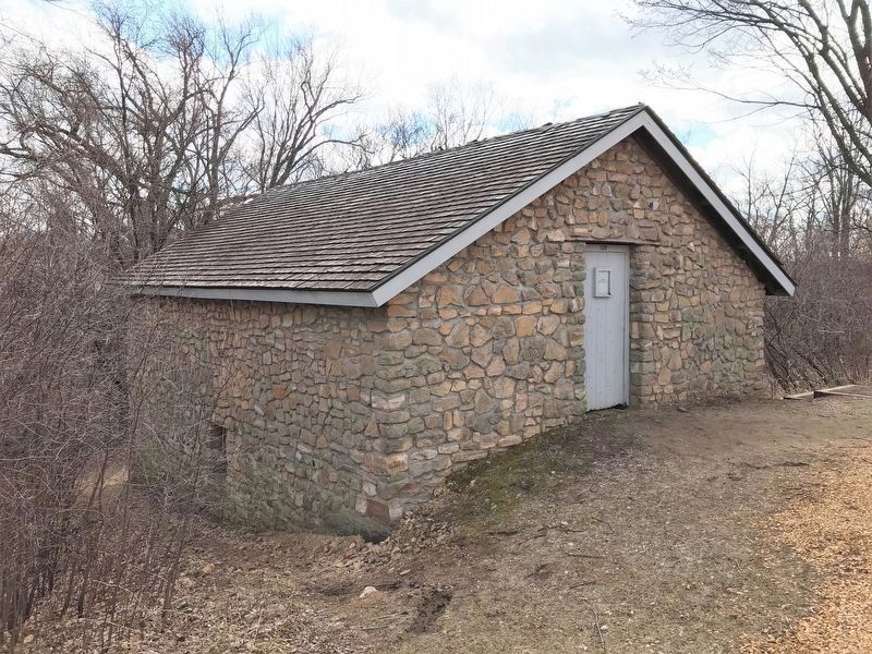
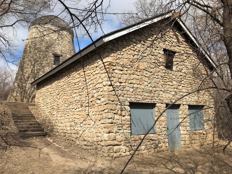
Granary
Topics. This historical marker is listed in this topic list: Agriculture.
Location. 44° 9.836′ N, 94° 6.81′ W. Marker is near Mankato, Minnesota, in Blue Earth County. Marker is on Mill Road near State Highway 68. Located at the end of the Bison Drive Road in Minneopa State Park. Touch for map. Marker is in this post office area: Mankato MN 56001, United States of America. Touch for directions.
Other nearby markers. At least 8 other markers are within 4 miles of this marker, measured as the crow flies. Seppman Mill (a few steps from this marker); The Turning Point (within shouting distance of this marker); Former Homestead of Robert & Frieda Ulmen (approx. 1.4 miles away); George M. Palmer (approx. 1˝ miles away); Minnesota State Parks (approx. 1˝ miles away); The First Mahkato Memorial Wacipi (approx. 3.6 miles away); Geology of Minnesota (approx. 3.8 miles away); Ott Cabin (approx. 3.9 miles away). Touch for a list and map of all markers in Mankato.
Related marker. Click here for another marker that is related to this marker.
Credits. This page was last revised on May 2, 2022. It was originally submitted on May 1, 2022. This page has been viewed 162 times since then and 21 times this year. Photos: 1, 2, 3. submitted on May 1, 2022.


