San Gabriel in Los Angeles County, California — The American West (Pacific Coastal)
Rancho Las Tunas Adobe
Photographed by Craig Baker, May 1, 2022
1. Rancho Las Tunas Adobe Marker
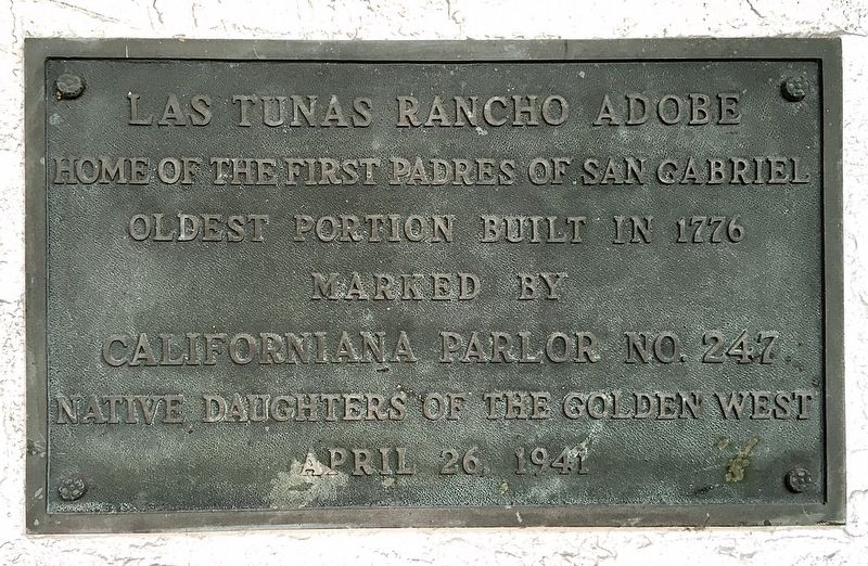
Las Tunas Rancho Adobe, home of the first padres of San Gabriel. Oldest portion built in 1776.
Erected 1941 by California Parlor No. 247 Native Daughters of the Golden West.
Topics and series. This historical marker is listed in these topic lists: Architecture • Religion & Religious Structures • Settlements & Settlers. In addition, it is included in the Native Sons/Daughters of the Golden West series list. A significant historical year for this entry is 1776.
Location. 34° 5.722′ N, 118° 6.267′ W. Marker is in San Gabriel, California, in Los Angeles County. It can be reached from Monson Lane north of Orange Street, on the left when traveling north. Touch for map. Marker is at or near this postal address: 315 Monson Ln, San Gabriel CA 91776, United States of America. Touch for directions.

Regionally, this marker is in Greater Los Angeles and in the Transverse Ranges. It is also on the American Pacific Coast. Globally, it is in North America, on the Ring of Fire, in the Pacific Rim, in the Western Hemisphere, in the Western World, and in the Anglosphere. Historically, it finds itself in what
this page online
Other nearby markers. At least 8 other markers are within walking distance of this marker: San Gabriel Mission (about 800 feet away, measured in a direct line); Arrival of Great Rejoicing (approx. 0.2 miles away); a different marker also named San Gabriel Mission (approx. 0.2 miles away); A Welcome Destination (approx. 0.2 miles away); Mission San Gabriel Archangel / El Camino Real Door (approx. 0.2 miles away); Lt. Colonel Juan Bautista de Anza (approx. 0.2 miles away); 1776 Overland Immigration Expedition (approx. 0.2 miles away); Juan Bautista de Anza (approx. 0.2 miles away). Touch for a list and map of all markers in San Gabriel.
Another marker is no longer nearby. Old Spanish Trail (was approx. 0.2 miles away but has been reported to have been replaced with another marker now near it).
More about this marker. The marker is behind a high wall on private property, not open to the public.
Regarding Rancho Las Tunas Adobe. This adobe is said to be the oldest house in Los Angeles County, constructed three years before the nearby San Gabriel Mission Church as
Photographed by Craig Baker, May 1, 2022
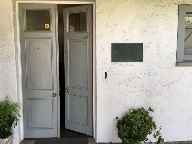
2. Rancho Las Tunas Adobe Marker
Photographed by Craig Baker, May 1, 2022
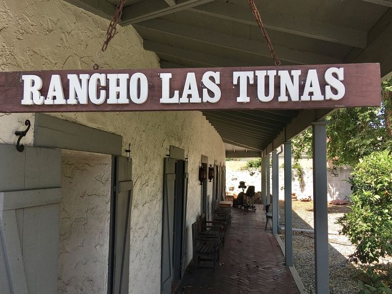
3. Rancho Las Tunas Adobe
Photographed by Craig Baker, May 1, 2022
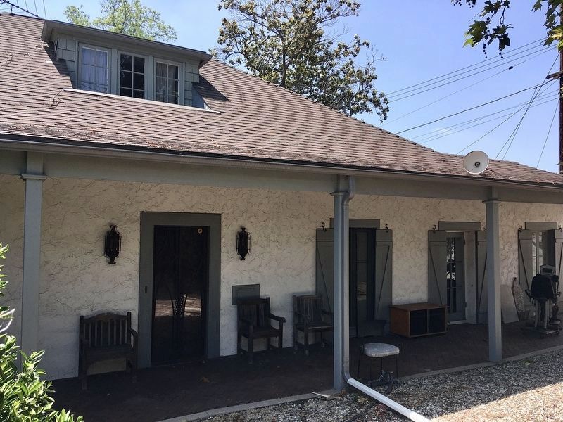
4. Rancho Las Tunas Adobe
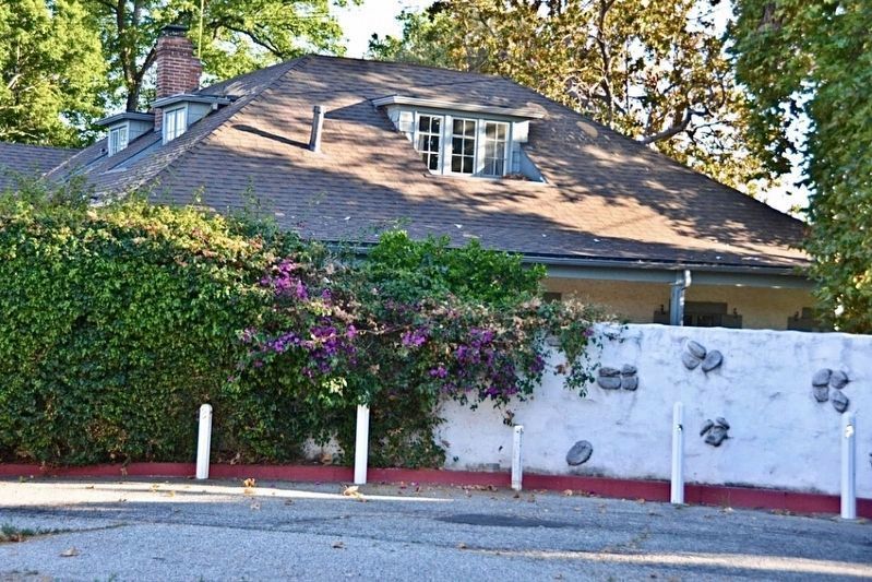
Photographed by Craig Baker, May 1, 2022
5. Rancho Las Tunas Adobe
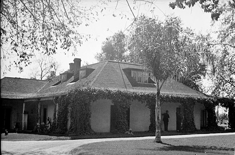
Historic American Buildings Survey (Library of Congress)
6. Rancho Las Tunas Adobe
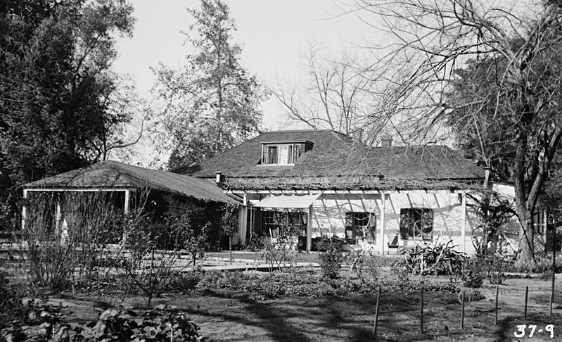
Historic American Buildings Survey (Library of Congress)
7. Rancho Las Tunas Adobe
Credits. This page was last revised on January 30, 2023. It was originally submitted on May 1, 2022, by Craig Baker of Sylmar, California. This page has been viewed 2,472 times since then and 153 times this year. Photos: 1, 2, 3, 4, 5, 6, 7. submitted on May 1, 2022, by Craig Baker of Sylmar, California.
