Cumberland Township near Gettysburg in Adams County, Pennsylvania — The American Northeast (Mid-Atlantic)
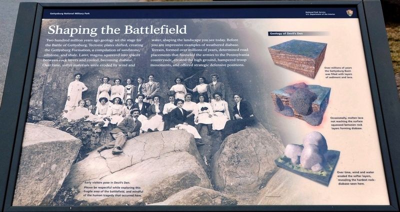
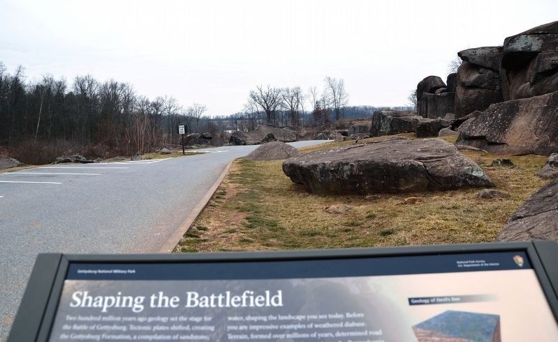
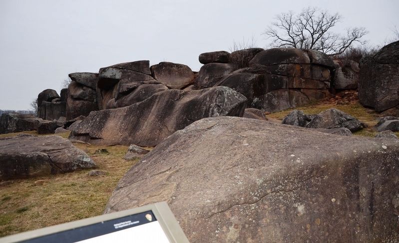
Shaping the Battlefield
— Gettysburg National Military Park —
(captions)
Early visitors pose in Devil's Den.
Please be respectful while exploring this fragile area of the battlefield, and mindful of the human tragedy that occurred here.
Erected 2021 by The National Park Service, U.S. Department of the Interior.
Topics. This memorial is listed in this topic list: War, US Civil.
Location. 39° 47.488′ N, 77° 14.516′ W. Marker is near Gettysburg, Pennsylvania, in Adams County. It is in Cumberland Township. Memorial is on Sickles Avenue, 0.1 miles west of Warren Avenue, on the right when traveling west. Located next to the parking lot for the Devil's Den area. Touch for map. Marker is in this post office area: Gettysburg PA 17325, United States of America. Touch for directions.
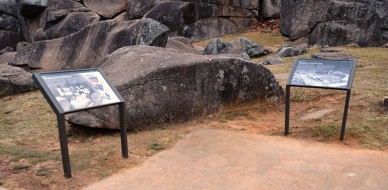
Other nearby markers. At least 8 other markers are within walking distance of this marker. Slaughter at Devil's Den (here, next to this marker); 4th Maine Infantry (within shouting distance of this marker); The Attack on Devil's Den (within shouting distance of this marker); 4th New York Independent Battery (about 300 feet away, measured in a direct line); Civil War Photography (about 300 feet away); Holding Houck's Ridge (about 300 feet away); Robertson's Brigade (about 300 feet away); 99th Pennsylvania Infantry (about 300 feet away). Touch for a list and map of all markers in Gettysburg.
Also see . . . Gettysburg National Military Park. National Park Service (Submitted on May 2, 2022.)
Additional commentary.
1. About the Marker
This marker, along with the marker next to it, entitled "Slaughter at Devil's Den," have been temporarily removed. An extensive rehabilitation project is now underway at the Devil's Den. The walking paths are being reworked, and the park is also working on some erosion control in the area. These new markers should be re-installed after all the work is done.
— Submitted May 2, 2022, by Karl Stelly of Gettysburg, Pennsylvania.
Credits. This page was last revised on February 7, 2023. It was originally submitted on May 2, 2022, by Karl Stelly of Gettysburg, Pennsylvania. This page has been viewed 135 times since then and 14 times this year. Photos: 1, 2, 3, 4. submitted on May 2, 2022, by Karl Stelly of Gettysburg, Pennsylvania. • Bernard Fisher was the editor who published this page.


