San Anselmo in Marin County, California — The American West (Pacific Coastal)
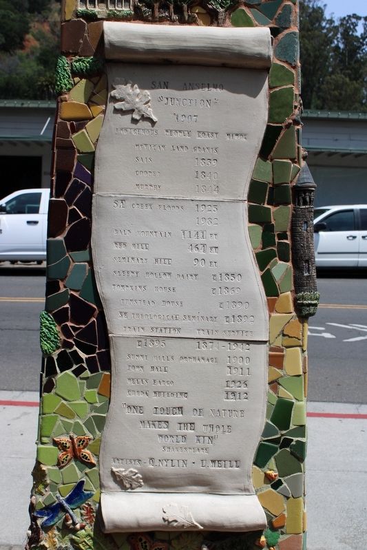
San Anselmo
"Junction"
— 1907 —
Mexican Land Grants
Sais 1839
Cooper 1840
Murphy 1844
SA Creek Floods 1925, 1982
Bald Mountain 1141 FT
Red Hill 464 FT
Seminary Hill 90 FT
Sleepy Hollow Dairy c1850
Tompkins House c1869
Tunstead House c1890
SF Theological Seminary c1892
Train Station c1895
Train Service 1874-1942
Sunny Hills Orphanage 1900
Town Hall 1911
Wells Fargo 1926
Cheda Building 1912
"One touch of nature makes the whole world kin."
Shakespeare
Artists - Q.Nylin • L.Weill
Topics. This historical marker is listed in these topic lists: Education • Industry & Commerce • Native Americans • Railroads & Streetcars • Settlements & Settlers. A significant historical year for this entry is 1907.
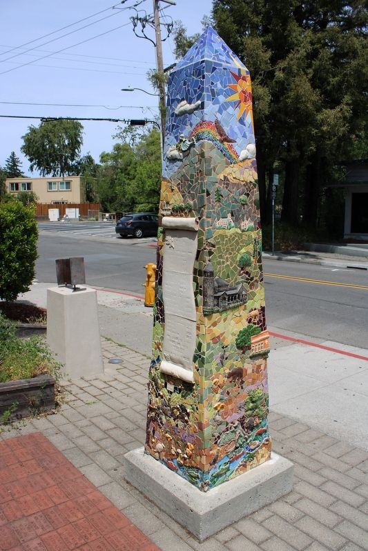
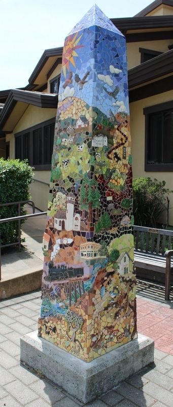
Location. 37° 58.601′ N, 122° 33.845′ W. Marker is in San Anselmo, California, in Marin County. Marker is at the intersection of San Anselmo Avenue and San Rafael Avenue, on the right when traveling south on San Anselmo Avenue. The marker is on the back of a tile mosaic obelisk in front of the Ross Valley Fire Department. Touch for map. Marker is at or near this postal address: 777 San Anselmo Ave, San Anselmo CA 94960, United States of America. Touch for directions.
Other nearby markers. At least 8 other markers are within walking distance of this marker. We Will Never Forget (here, next to this marker); High Water Mark (here, next to this marker); Creek Park Bridge (about 600 feet away, measured in a direct line); Star Wars (about 700 feet away); Magnolia Avenue Bridge (about 700 feet away); Indiana Jones (about 800 feet away); Paul Chirone (approx. 0.2 miles away); a different marker also named High Water Mark (approx. 0.2 miles away). Touch for a list and map of all markers in San Anselmo.
Additional commentary.
1.
The town was referred to as "Junction" on railroad maps until 1883. San Anselmo was incorporated in 1907.
— Submitted May 3, 2022, by Joseph Alvarado of Livermore, California.
Credits. This page was last revised on May 5, 2022. It was originally submitted on May 3, 2022, by Joseph Alvarado of Livermore, California. This page has been viewed 147 times since then and 12 times this year. Photos: 1, 2, 3. submitted on May 3, 2022, by Joseph Alvarado of Livermore, California. • Devry Becker Jones was the editor who published this page.


