Nelson in Central Kootenay, British Columbia — Canada’s West Coast (North America)
Nelson Post Office/Customs House
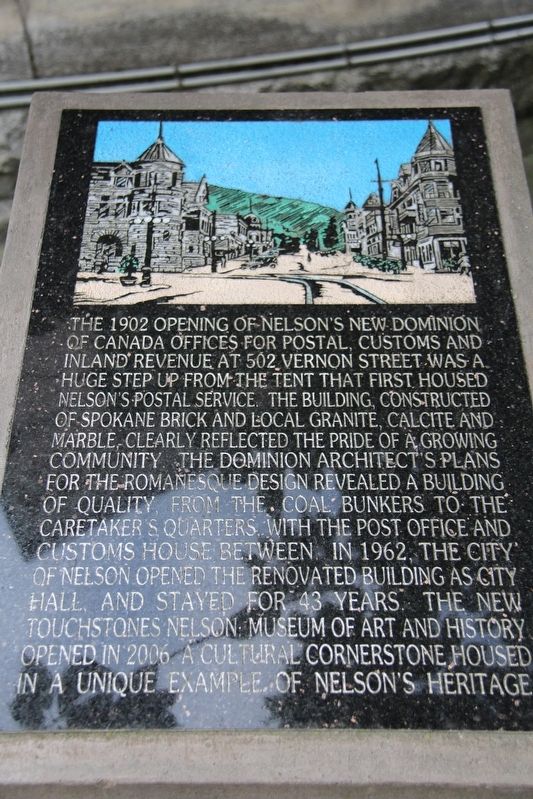
Topics. This historical marker is listed in these topic lists: Architecture • Communications • Industry & Commerce. A significant historical year for this entry is 1902.
Location. 49° 29.566′ N, 117° 17.66′ W. Marker is in Nelson, British Columbia, in Central Kootenay. It is at the intersection of Vernon Street and Ward Street, on the right when traveling east on Vernon Street. Touch for map. Marker is at or near this postal address: 502 Vernon St, Nelson BC V1L V1L, Canada. Touch for directions.

Regionally, this marker is in the BC Interior and in the Kootenay Rockies. Globally, it is in North America, in the Rocky Mountains, on the Ring of Fire, on the Pacific Rim, in the Western Hemisphere, in the Western World, and in the Anglosphere. Historically, it finds itself in what was once a British colony.
Other nearby markers. At least one other marker is within 16 kilometers of this marker, measured as the crow flies: Baker Street (approx. 1.4 kilometers away).
Another marker is no longer nearby. West Kootenay Power (was approx. 14.9
this page online
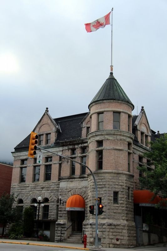
cmh2315fl via Flickr (CC BY-NC 2.0), August 19, 2014
2. Former Nelson Post Office and Customs House
It now houses the Touchstones Nelson Museum of Art and History.
Credits. This page was last revised on May 3, 2022. It was originally submitted on May 3, 2022, by Duane and Tracy Marsteller of Murfreesboro, Tennessee. This page has been viewed 660 times since then and 115 times this year. Photos: 1, 2. submitted on May 3, 2022, by Duane and Tracy Marsteller of Murfreesboro, Tennessee.
Editor’s want-list for this marker. Wide shot of marker and surrounding area in context. • Can you help?
