Woonsocket in Providence County, Rhode Island — The American Northeast (New England)
Power Trenches
Fueling the City's Industry
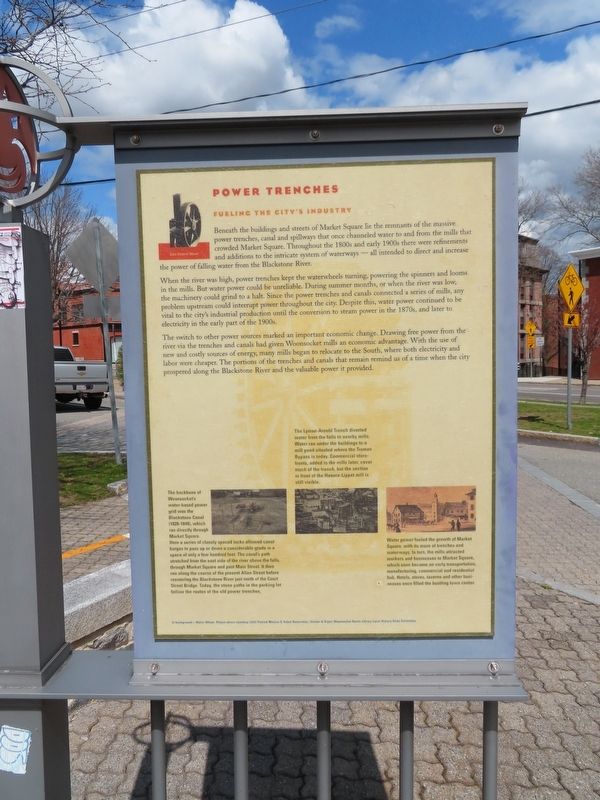
Beneath the buildings and streets of Market Square lie the remnants of the massive power trenches, canal and spillways that once channeled water to and from the mills that crowded Market Square. Throughout the 1800s and early 1900s there were refinements and additions to the intricate system of waterways - all intended to direct and increase the power of falling water from the Blackstone River.
When the river was high, power trenches kept the waterwheels turning, powering the spinners and looms in the mills. But water power could be unreliable. During summer months, or when the river was low, the machinery could grind to a halt. Since the power trenches and canals connected a series of mills, any problem upstream could interrupt power throughout the city. Despite this, water power continued to be vital to the city's industrial production until the conversion to steam power in the 1870s, and later to electricity in the early part of the 1900s.
The switch to other power sources marked an important economic change. Drawing free power from the river via the trenches and canals had given Woonsocket mills an economic advantage. With the use of new and costly sources of energy, many mills began to relocate to the South, where both electricity and labor were cheaper. The portions of the trenches and canals that remain remind us of a time when the city prospered along the Blackstone River and the valuable power it provided.
( photo captions )
— The Lyman-Arnold Trench diverted water from the falls to nearby mills. Water ran under the buildings to a mill pond situated where the Truman Bypass is today. Commercial store- fronts, added to the mills later, cover much of the trench, but the section in front of the Hanora-Lippet mill is still visible.
— The backbone of Woonsocket's water-based power grid was the Blackstone Canal (1828-1848), which ran directly through Market Square. Here a series of closely spaced locks allowed canal barges to pass up or down a considerable grade in a space of only a few hundred feet. The canal's path stretched from the east side of the river above the falls, through Market Square and past Main Street. It then ran along the course of the present Allen Street before reentering the Blackstone River just north of the Court Street Bridge. Today, the stone paths in the parking lot follow the routes of the old power trenches.
— Water power fueled the growth of Market Square, with its maze of trenches and waterways. In turn, the mills attracted workers and businesses to Market Square, which soon became an early transportation, manufacturing, commercial and residential hub. Hotels, stores, taverns and other businesses once filled the bustling town center.
In background — Water Wheel. Photos above courtesy: (left) Patrick Malone & Reber Associates. (Center & Right) Woonsocket Harris Library Local History Slide Collection.
Topics. This historical marker is listed in these topic lists: Industry & Commerce • Waterways & Vessels.
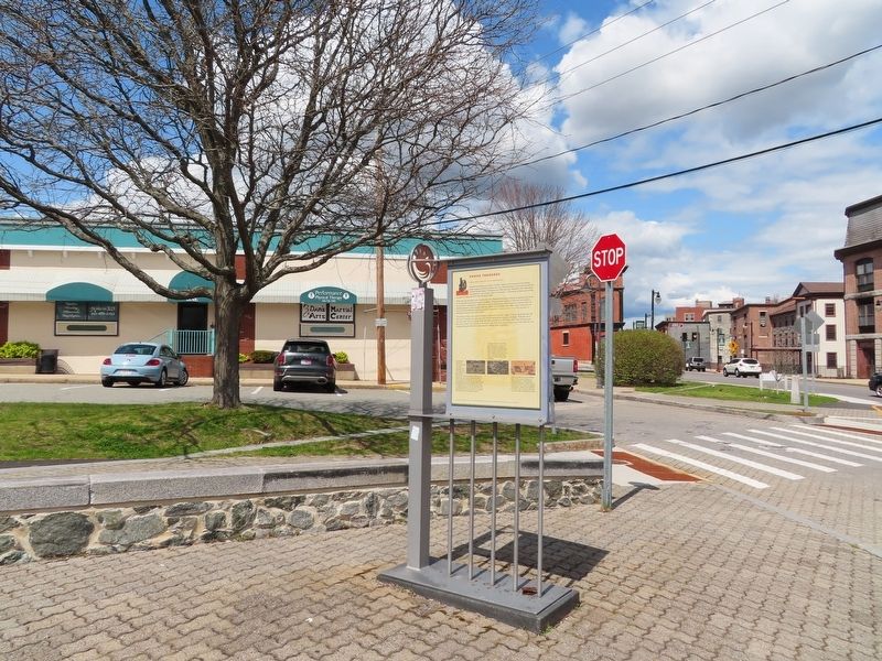
Location. 41° 59.997′ N, 71° 30.996′ W. Marker is in Woonsocket, Rhode Island, in Providence County. Marker is at the intersection of Main Street and Bernon Street, on the right when traveling south on Main Street. Located in Market Square. Touch for map. Marker is in this post office area: Woonsocket RI 02895, United States of America. Touch for directions.
Other nearby markers. At least 8 other markers are within walking distance of this marker. Market Square (here, next to this marker); Ethnicity (within shouting distance of this marker); Blackstone River Valley (within shouting distance of this marker); Community Development (within shouting distance of this marker); Blackstone Canal (about 300 feet away, measured in a direct line); Woonsocket Falls (about 300 feet away); Cross of Malta (about 700 feet away); Veterans Memorial Park (approx. ¼ mile away). Touch for a list and map of all markers in Woonsocket.
Credits. This page was last revised on May 3, 2022. It was originally submitted on May 3, 2022, by Michael Herrick of Southbury, Connecticut. This page has been viewed 102 times since then and 13 times this year. Photos: 1, 2. submitted on May 3, 2022, by Michael Herrick of Southbury, Connecticut.

