Woonsocket in Providence County, Rhode Island — The American Northeast (New England)
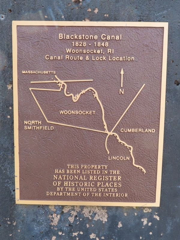
Blackstone Canal
1828 – 1848
Canal Route & Lock Location
This property has been listed in the
National Register
of Historic Places
by the United States
Department of the Interior
Topics. This historical marker is listed in these topic lists: Industry & Commerce • Waterways & Vessels. A significant historical year for this entry is 1828.
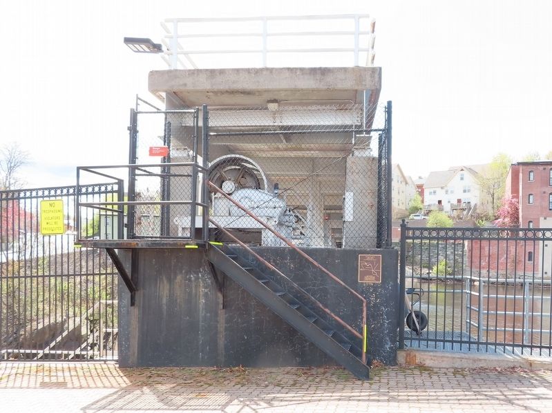
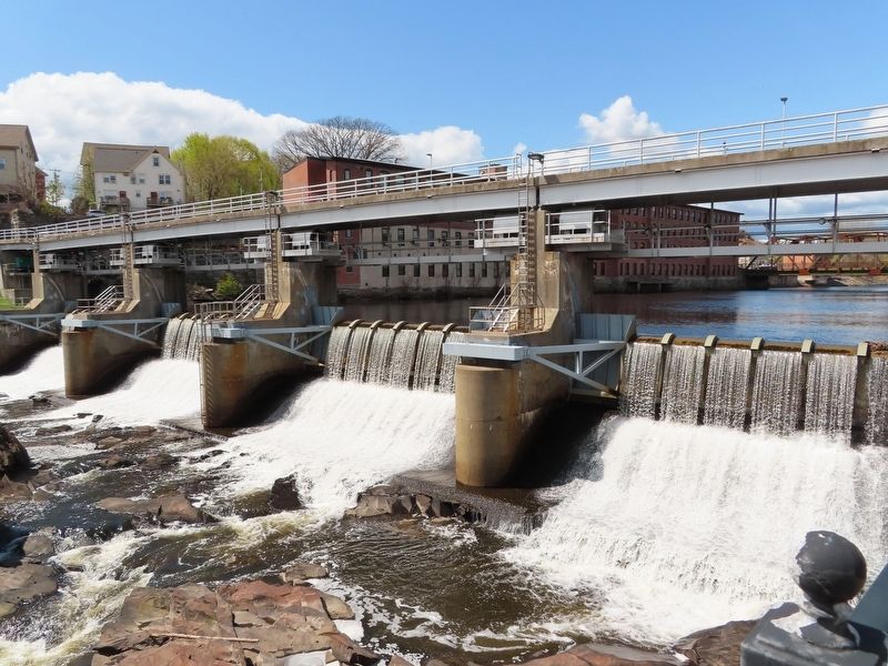
Location. 41° 59.976′ N, 71° 31.05′ W. Marker is in Woonsocket, Rhode Island, in Providence County. Marker is at the intersection of Main Street and River Street, on the right when traveling south on Main Street. Located on the Woonsocket Falls Dam structure. Touch for map. Marker is in this post office area: Woonsocket RI 02895, United States of America. Touch for directions.
Other nearby markers. At least 8 other markers are within walking distance of this marker. Woonsocket Falls (a few steps from this marker); Blackstone River Valley (within shouting distance of this marker); Ethnicity (within shouting distance of this marker); Community Development (within shouting distance of this marker); Market Square (about 300 feet away, measured in a direct line); Power Trenches (about 300 feet away); Cross of Malta (approx. 0.2 miles away); Veterans Memorial Park (approx. 0.3 miles away). Touch for a list and map of all markers in Woonsocket.
Also see . . . Blackstone Canal (Wikipedia). (Submitted on May 3, 2022, by Michael Herrick of Southbury, Connecticut.)
Credits. This page was last revised on May 3, 2022. It was originally submitted on May 3, 2022, by Michael Herrick of Southbury, Connecticut. This page has been viewed 257 times since then and 54 times this year. Photos: 1, 2, 3. submitted on May 3, 2022, by Michael Herrick of Southbury, Connecticut.


