Foggy Bottom in Northwest Washington in Washington, District of Columbia — The American Northeast (Mid-Atlantic)
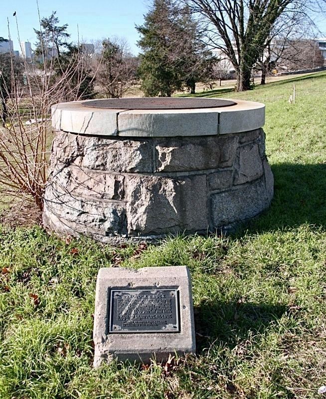
Braddock’s Rock
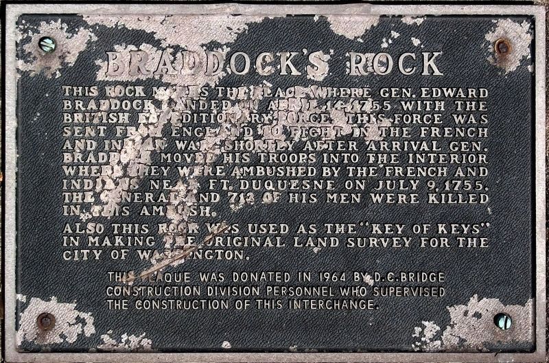
This rock marks the place where Gen. Edward Braddock landed on April 14, 1755 with the British Expeditionary Force. This force was sent from England to fight in the French and Indian War. Shortly after arrival, Gen. Braddock moved his troops into the interior where they were ambushed by the French and Indians near Ft. Duquesne on July 9, 1755. The General and 713 if his men were killed in this ambush.
Also, this rock was used as the "Key of Keys" in making the original land survey for the city of Washington.
Erected 1964 by D.C.Bridge Construction Division.
Topics. This historical marker is listed in these topic lists: Landmarks • War, French and Indian. A significant historical date for this entry is April 14, 1755.
Location. 38° 53.563′ N, 77° 3.085′ W. Marker is in Northwest Washington in Washington, District of Columbia. It is in Foggy Bottom. Marker is on Constitution Avenue Northwest west of 23rd Street Northwest. Located behind the United States Institute of Peace, next to the highway ramp for I-66. Touch for map. Marker is at or near this postal address: 2301 Constitution Ave NW, Washington DC 20037, United States of America. Touch for directions.
Other nearby markers. At least 8 other markers are within walking distance of this marker. Pharmacists' War Memorial (about 500 feet away, measured in a direct line); Department of State (approx. 0.2 miles away); The Celestial Map (approx. 0.2 miles away); Albert Einstein - The Einstein Memorial (approx. 0.2 miles away); Building 2 (approx. 0.2 miles away); National Academy of Sciences (approx. 0.2 miles away); Benjamin Rush (approx. 0.2 miles away); Radford House (approx. 0.2 miles away). Touch for a list and map of all markers in Northwest Washington.
Regarding Braddock’s Rock. Most of the huge stone was removed and used for construction during the early 1800’s.
In 1964 a well was built to avoid burying the remaining stone during highway construction.
The claim that this is Braddock's landing spot has always been controversial.
Credits. This page was last revised on January 30, 2023. It was originally submitted on January 18, 2022, by Craig Baker of Sylmar, California. This page has been viewed 1,149 times since then and 98 times this year. Last updated on May 3, 2022, by Bruce Guthrie of Silver Spring, Maryland. Photos: 1, 2. submitted on January 18, 2022, by Allen C. Browne of Silver Spring, Maryland. • Devry Becker Jones was the editor who published this page.

