West Central in Fort Wayne in Allen County, Indiana — The American Midwest (Great Lakes)
The Transfer Corner
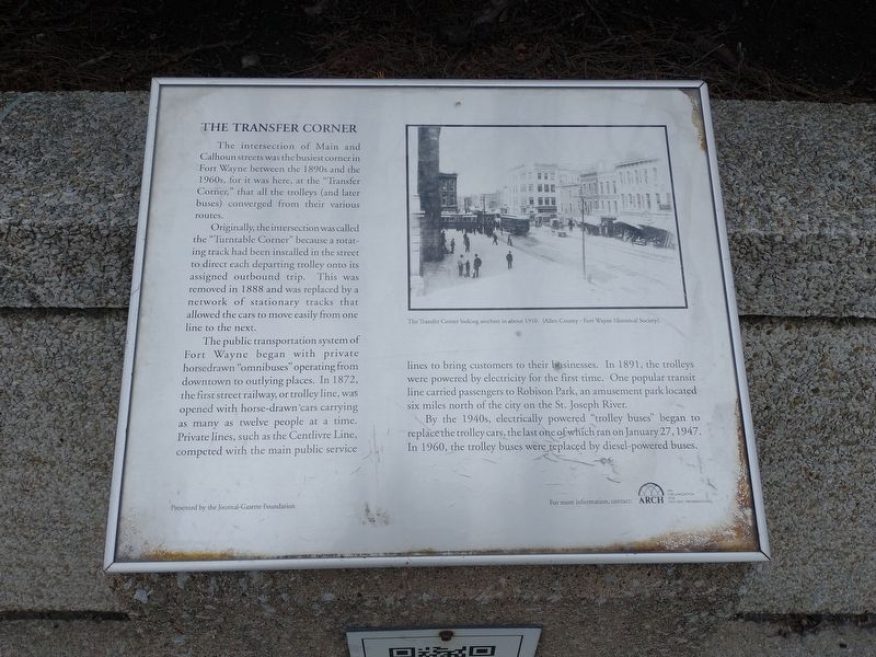
Originally, the intersection was called the "Turntable Corner” because a rotating track had been installed in the street to direct each departing trolley onto its assigned outbound trip. This was removed in 1888 and was replaced by a network of stationary tracks that allowed the cars to move easily from one line to the next.
The public transportation system of Fort Wayne began with private horse drawn "omnibuses” operating from downtown to outlying places. In 1872, the first street railway, or trolley line, was opened with horse-drawn cars carrying as many as twelve people at a time. Private lines, such as the Centlivre Line, competed with the main public service lines to bring customers to their businesses. In 1891, the trolleys were powered by electricity for the first time. One popular transit line carried passengers to Robinson Park, an amusement park located six miles north of the city on the St. Joseph River.
By the 1940s, electrically powered "trolley buses began to replace the trolley cars, the last one of which ran on January 27, 1947. In 1960, the trolley buses were replaced by diesel-powered buses.
For more information, contact: Arch An Origination For Historic Preservation
Presented by the Journal-Gazette Foundation
The Transfer Corner looking southeast in about 1910. (Allen County - Fort Wayne Historical Society).
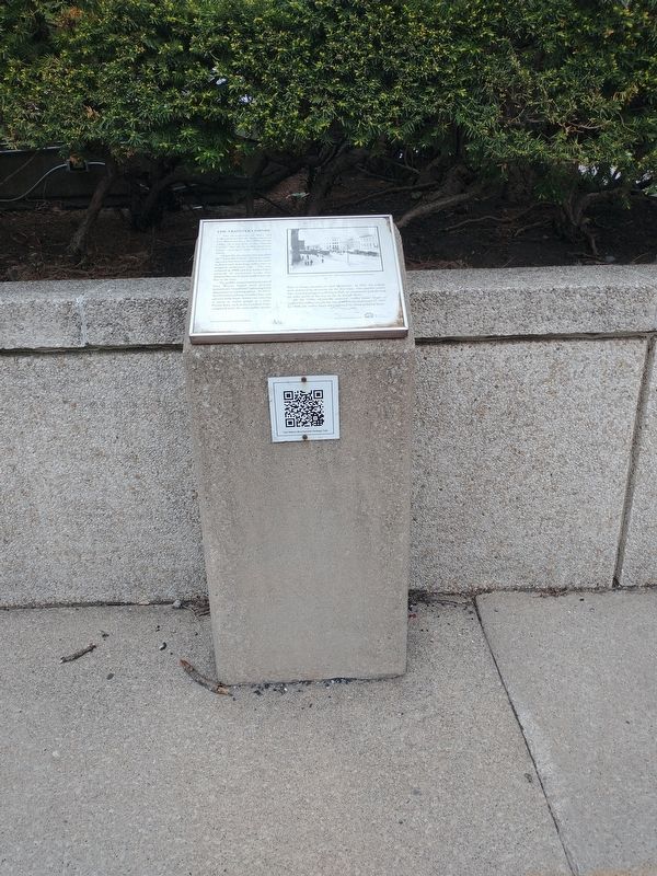
Erected by Arch.
Topics. This historical marker is listed in these topic lists: Industry & Commerce • Railroads & Streetcars. A significant historical date for this entry is January 27, 1947.
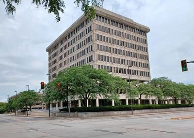
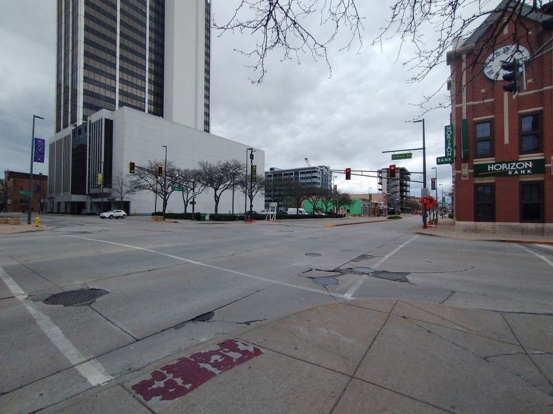
Location. 41° 4.831′ N, 85° 8.391′ W. Marker is in Fort Wayne, Indiana, in Allen County. It is in West Central. Marker is at the intersection of S. Calhoun Street and E. Main Street, on the right when traveling north on S. Calhoun Street. Touch for map. Marker is in this post office area: Fort Wayne IN 46802, United States of America. Touch for directions.
Other nearby markers. At least 8 other markers are within walking distance of this marker. The Allen County Courthouse (within shouting distance of this marker); Columbia Street (about 300 feet away, measured in a direct line); Fort Wayne Historic District (about 400 feet away); The Lincoln Tower (about 400 feet away); Journal Gazette Building (about 500 feet away); The First Police Station (about 500 feet away); Major General Anthony Wayne (about 500 feet away); The Bicentennial Heritage Trail (about 500 feet away). Touch for a list and map of all markers in Fort Wayne.
Also see . . . Transfer Corner. More information about the Transfer Corner on the ARCH website, such as "In 1873, an epidemic flu called “Great Epizootic” struck nearly all of the horses in town, temporarily disabling the animals and public transportation." (Submitted on August 22, 2023, by Joel Seewald of Madison Heights, Michigan.)
Credits. This page was last revised on September 2, 2023. It was originally submitted on May 3, 2022, by Craig Doda of Napoleon, Ohio. This page has been viewed 228 times since then and 12 times this year. Photos: 1, 2. submitted on May 3, 2022, by Craig Doda of Napoleon, Ohio. 3. submitted on August 22, 2023, by Joel Seewald of Madison Heights, Michigan. 4. submitted on May 3, 2022, by Craig Doda of Napoleon, Ohio. • Bill Pfingsten was the editor who published this page.


