
Montesano in Grays Harbor County, Washington — The American West (Northwest)
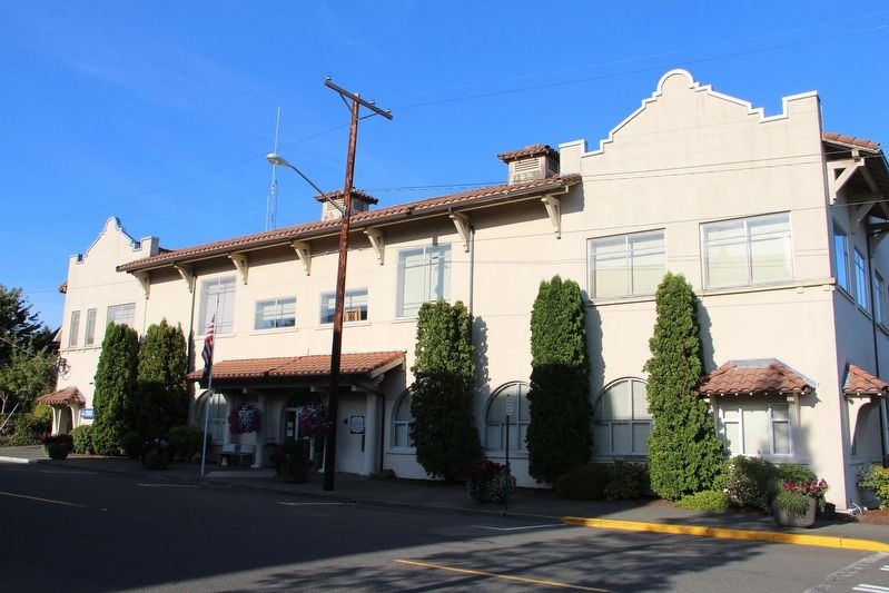
Old Fire Hall-City Hall
1914
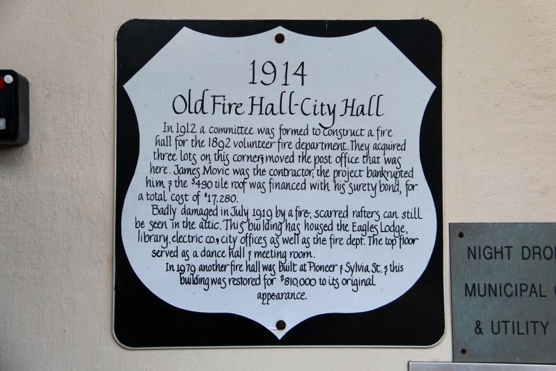
Badly damaged in July 1919 by a fire; scarred rafters can still be seen in the attic. This building has housed the Eagles Lodge, library, electric co. & city offices as well as the fire dept. The top floor served as a dance hall & meeting room.
In 1979 another fire hall was built at Pioneer & Sylvia St. & this building was restored for $810,000 to its original appearance.
Topics. This historical marker is listed in this topic list: Notable Buildings. A significant historical year for this entry is 1914.
Location. 46° 58.901′ N, 123° 36.039′ W. Marker is in Montesano, Washington, in Grays Harbor County. It is at the intersection of North Main Street and East Broadway Avenue, on the right when traveling north on North Main Street. Touch for map. Marker is at or near this postal address: 112 N Main St, Montesano
this page online

Regionally, this marker is in Washington’s Olympic Peninsula. It is also on the American Pacific Coast, in the Pacific Northwest, and in the Lewis & Clark Corridor. Globally, it is in North America, on the Ring of Fire, in the Pacific Rim, in the Western Hemisphere, in the Western World, and in the Anglosphere.
Other nearby markers. At least 5 other markers are within 9 miles of this marker, measured as the crow flies: Byles House (about 300 feet away, measured in a direct line); The Vidette (about 700 feet away); Old Telephone Bldg. (about 700 feet away); Montesano World War I Memorial (approx. 0.2 miles away); Cosmopolis Treaty Grounds (approx. 8.3 miles away).
Credits. This page was last revised on May 3, 2022. It was originally submitted on May 3, 2022, by Duane and Tracy Marsteller of Murfreesboro, Tennessee. This page has been viewed 164 times since then and 15 times this year. Photos: 1, 2. submitted on May 3, 2022, by Duane and Tracy Marsteller of Murfreesboro, Tennessee.
