South Kansas City in Jackson County, Missouri — The American Midwest (Upper Plains)
Russell's Ford
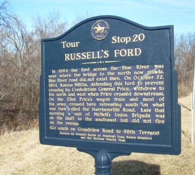
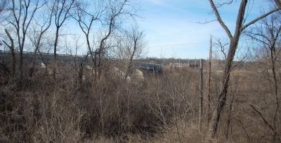
In 1864 the ford across the Blue River was near where the bridge to the north now stands. Blue River road did not exist the. On October 22, 1864. Kansas Militia, defending this ford to prevent crossing by Confederate General Price, withdrew to the north and west when Price crossed downstream. On the 23rd Price's wagon train and most of his army crossed here retreating south on what was then called the Harrisonville Road. Late that morning a unit of McNeil's Union Brigade was on the bluff to the southeast but did not fire on the enemy.
Erected 1964 by Howard N. Monnett Memorial Civil War Round Table K.C. (Marker Number 20.)
Topics and series. This historical marker is listed in this topic list: War, US Civil. In addition, it is included in the Missouri – Battle of Westport series list. A significant historical month for this entry is October 1926.
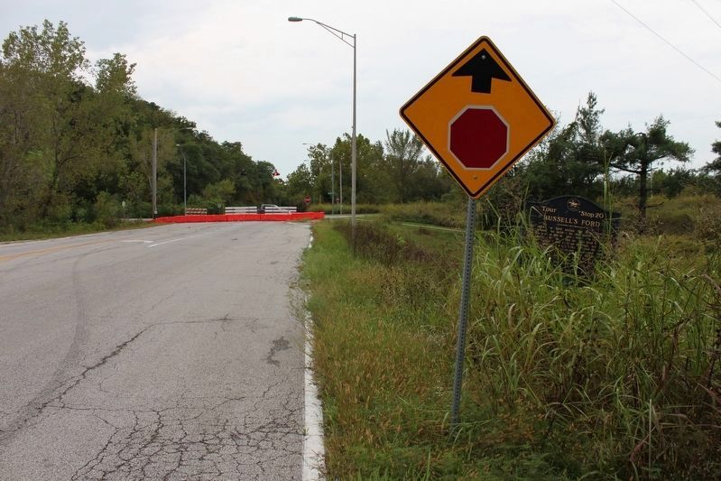
Location. 38° 57.782′ N, 94° 33.35′ W. Marker is in Kansas City, Missouri, in Jackson County. It is in South Kansas City. Marker is on Blue River Road just north of Grandview Road, on the left when traveling north. Touch for map. Marker is in this post office area: Kansas City MO 64132, United States of America. Touch for directions.
Other nearby markers. At least 8 other markers are within 3 miles of this marker, measured as the crow flies. Where People Once Lived (approx. 1.4 miles away); School Days (approx. 1.4 miles away); A Resting Place (approx. 1.4 miles away); Frank S. Land Memorial (approx. 1˝ miles away); Remembrance of Trails Past (approx. 1.7 miles away); Mockbee Farm (approx. 2.1 miles away); "The Boy Scout" (approx. 2.1 miles away); Thomas Farmhouse (approx. 2.3 miles away). Touch for a list and map of all markers in Kansas City.
Also see . . . Battle of Westport. Stop 20 on the battlefield tour. (Submitted on June 9, 2009, by Craig Swain of Leesburg, Virginia.)
Credits. This page was last revised on February 10, 2023. It was originally submitted on June 7, 2009, by Thomas Onions of Olathe, Kansas. This page has been viewed 2,180 times since then and 45 times this year. Photos: 1. submitted on June 7, 2009, by Thomas Onions of Olathe, Kansas. 2. submitted on October 5, 2019, by Michael E Sanchez, Jr. of Kansas City, Missouri. 3. submitted on June 7, 2009, by Thomas Onions of Olathe, Kansas. 4. submitted on June 10, 2009, by Thomas Onions of Olathe, Kansas. • Craig Swain was the editor who published this page.


