Fort Wayne in Allen County, Indiana — The American Midwest (Great Lakes)
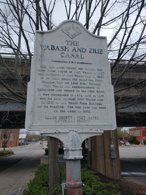
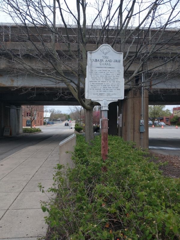
The Wabash And Erie Canal
Erected by Allen County-Fort Wayne Historical Society.
Topics and series. This historical marker is listed in this topic list: Waterways & Vessels. In addition, it is included in the Wabash & Erie Canal series list. A significant historical date for this entry is July 4, 1843.
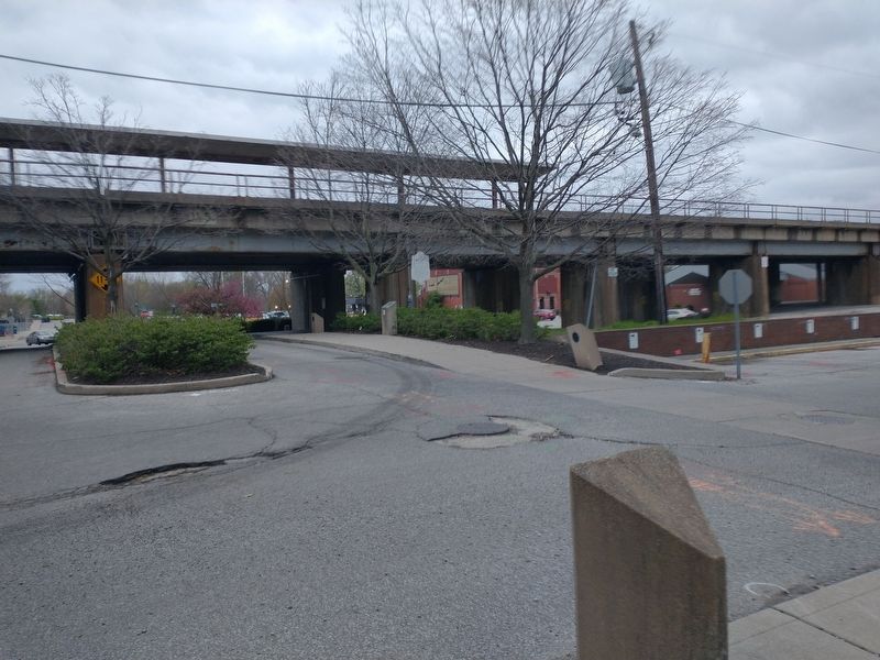
Location. 41° 4.935′ N, 85° 8.228′ W. Marker is in Fort Wayne, Indiana, in Allen County. Marker is on S. Barr Street, on the left when traveling south. Touch for map. Marker is in this post office area: Fort Wayne IN 46802, United States of America. Touch for directions.
Other nearby markers. At least 8 other markers are within walking distance of this marker. The Nickel Plate Railroad (here, next to this marker); This Barr And Columbia Street Intersection (within shouting distance of this marker); Barr And Columbia (within shouting distance of this marker); Takaoka and Fort Wayne Time Capsule (about 300 feet away, measured in a direct line); Pirogue Landing (about 500 feet away); The Bicentennial Heritage Trail (about 500 feet away); Major General Anthony Wayne (about 500 feet away); Journal Gazette Building (about 800 feet away). Touch for a list and map of all markers in Fort Wayne.
Credits. This page was last revised on May 19, 2022. It was originally submitted on May 7, 2022, by Craig Doda of Napoleon, Ohio. This page has been viewed 257 times since then and 43 times this year. Photos: 1, 2, 3, 4. submitted on May 7, 2022, by Craig Doda of Napoleon, Ohio. • Bill Pfingsten was the editor who published this page.


