Antioch in Contra Costa County, California — The American West (Pacific Coastal)
Mount Diablo Coal Field
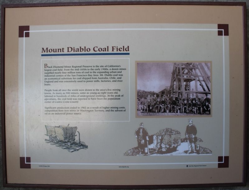
People from all over the world were drawn to the area's five mining towns. As many as 900 miners, some as young as eight years old, labored in hundreds of miles of underground workings. At the peak of operations, the coal field was reported to have been the population center of Contra Costa County.
Significant production ended in 1902 as a result of higher mining costs, competition from new mines in Washington Territory, and the advent of oil as an industrial power source.
Erected 2006 by East Bay Regional Park District.
Topics. This historical marker is listed in these topic lists: Industry & Commerce • Settlements & Settlers.
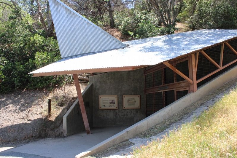
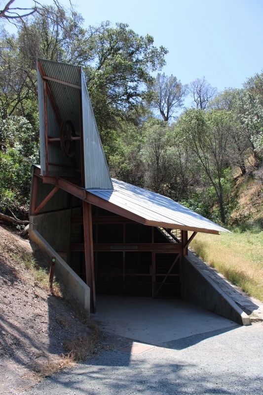
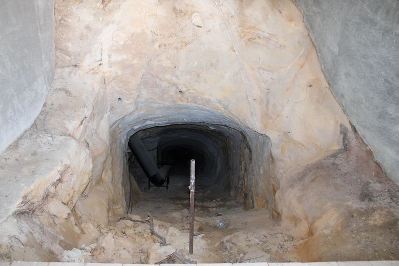
Location. 37° 57.275′ N, 121° 51.933′ W. Marker is in Antioch, California, in Contra Costa County. Marker can be reached from Somerset Road . The marker is mounted to the wall next to the Eureka Slope, above the Greathouse Portal in the Black Diamond Mines Regional Preserve. Touch for map. Marker is at or near this postal address: 5175 Somersville Road, Antioch CA 94509, United States of America. Touch for directions.
Other nearby markers. At least 8 other markers are within walking distance of this marker. Eureka Slope (here, next to this marker); Greathouse Portal (within shouting distance of this marker); Somersville Townsite (approx. ¼ mile away); a different marker also named Mount Diablo Coal Field (approx. ¼ mile away); Black Diamond Mines Regional Preserve (approx. 0.3 miles away); Independent Mine (approx. 0.3 miles away); Rose Hill Cemetery (approx. 0.4 miles away); David Watts, Theophilus Watts and Thomas D. James (approx. 0.4 miles away). Touch for a list and map of all markers in Antioch.
Credits. This page was last revised on June 11, 2022. It was originally submitted on May 8, 2022, by Joseph Alvarado of Livermore, California. This page has been viewed 184 times since then and 19 times this year. Photos: 1, 2, 3, 4. submitted on May 8, 2022, by Joseph Alvarado of Livermore, California. • Syd Whittle was the editor who published this page.


