Big Sur in Monterey County, California — The American West (Pacific Coastal)
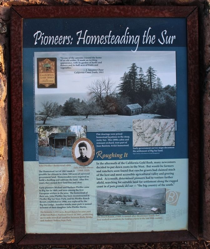
Pioneers: Homesteading the Sur
Roughing It
Inscription.
In the aftermath of the California Gold Rush, many newcomers decided to put down roots in the West. But would-be farmers and ranchers soon found that rancho grants had claimed much of the best and most accessible agricultural valley and grazing land. As a result, determined pioneers had to venture farther afield, searching for suitable land for settlement along the rugged coast in el país grande del sur - "the big country of the south."
The Homestead Act of 1862 made it possible for citizens to claim 160 acres of surveyed government land. Homesteaders were required to build a dwelling and cultivate the land. After five years, they owned their land free and clear.
Early pioneers Michael and Barbara Pfeiffer came to Big Sur in 1869, and were amoung the first European settlers in the area. The homestead of their son, John Pfeiffer, has been reconstructed in Pfeiffer Big Sur State Park, and his Pfeiffer Ranch Resort, established in 1908, was replaced by the Big Sur Lodge. Another nearby state park is named in honor of their daughter Julia Pfeiffer Burns.
Topics. This historical marker is listed in this topic list: Exploration. A significant historical year for this entry is 1869.
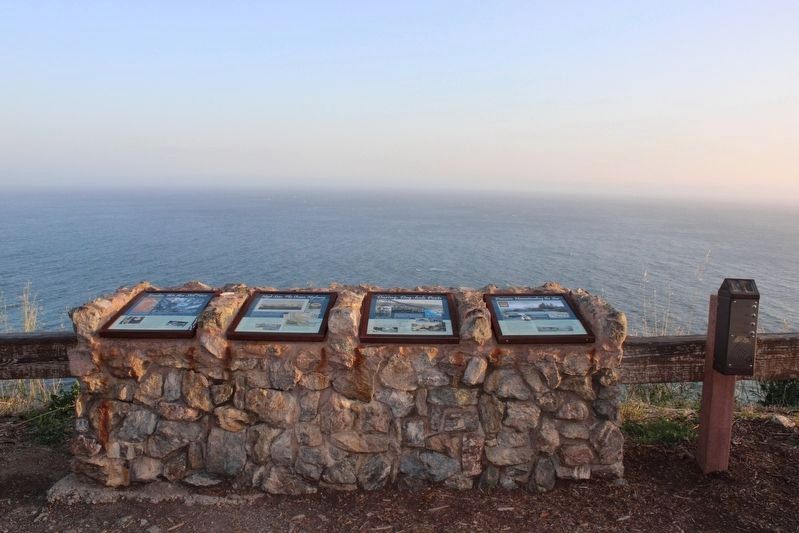
Location. 36° 10.167′ N, 121° 41.096′ W. Marker is in Big Sur, California, in Monterey County. Marker is on Cabrilla Highway (State Highway 1 at milepost 37), on the right when traveling south. The markers are near the cliff at the Julia Pfeiffer Burns State Park Vista Point. Touch for map. Marker is in this post office area: Big Sur CA 93920, United States of America. Touch for directions.
Other nearby markers. At least 8 other markers are within walking distance of this marker. High Seas: The Ocean Highway (here, next to this marker); Daring: Dog-hole Ports (here, next to this marker); Esselen: We Are Still Here (here, next to this marker); Red Giants: Trees of the Mist (within shouting distance of this marker); Condors: Returning to Our Skies (within shouting distance of this marker); Inspiration: A Wild Coast and Lonely (within shouting distance of this marker); House with a View (approx. 0.9 miles away); Two Women From Two Worlds (approx. 0.9 miles away). Touch for a list and map of all markers in Big Sur.
More about this marker. This is the fourth of four panels mounted to a stone and masonry foundation. There was a nonfunctioning audio player to the right of the foundation.
Credits. This page was last revised on May 21, 2022. It was originally submitted on May 9, 2022, by Joseph Alvarado of Livermore, California. This page has been viewed 428 times since then and 25 times this year. Photos: 1, 2. submitted on May 9, 2022, by Joseph Alvarado of Livermore, California. • Syd Whittle was the editor who published this page.

