Near Highland in San Bernardino County, California — The American West (Pacific Coastal)
Greenspot Road Bridge
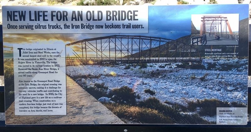
New Life for an Old Bridge
Once serving citrus trucks, the Iron Bridge now beckons trail users.
This bridge originated in Illinois at Joliet Iron and Steel Works, once the second largest steel mill in the country. It was constructed in 1912 to span the Mojave River in Victorville. The bridge was moved to its current location in 1933. Renamed the Santa Ana River Bridge, it served traffic along Greenspot Road for over 80 years.
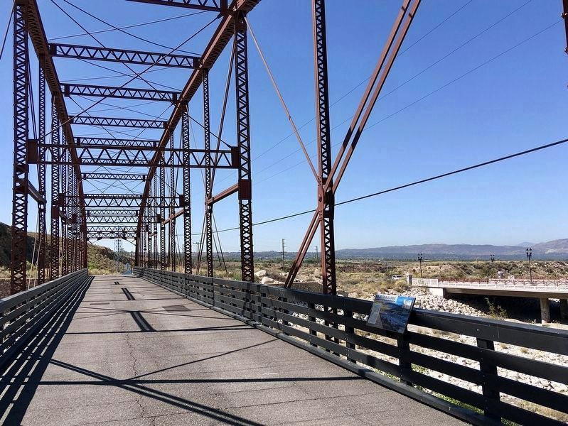
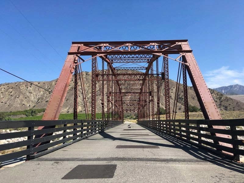
Also known as the Greenspot Road Bridge or the Iron Bridge, the original crossing was extremely narrow, making it a challenge for two-way vehicular traffic and contributing to the need for a new bridge. In 2015, the City of Highland gave it a new life as a multi-use trail crossing. When construction on a modern four-lane bridge just west of here was completed, this bridge became the domain of travelers on foot, bicycle, and horse.
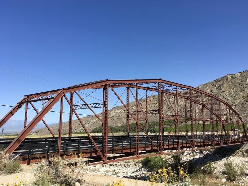
Historically significant and a rare example of work by Joliet Bridge and Iron Works, this steel truss bridge is eligible for listing on the National Register of Historic Places.
Topics. This historical marker is listed in these topic lists: Architecture • Roads & Vehicles. A significant historical year for this entry is 1912.
Location. 34° 6.052′ N, 117° 6.35′ W. Marker is near Highland, California, in San Bernardino County. Marker is on Old Greenspot Road bike path, ¼ mile south of Santa Ana Canyon Road. Located at the Santa Ana River crossing. Touch for map. Marker is in this post office area: Highland CA 92346, United States of America. Touch for directions.
Other nearby markers. At least 8 other markers are within 5 miles of this marker, measured as the crow flies. The Greenspot Market (approx. 2.1 miles away); Aurantia Park (approx. 2.9 miles away); Plunge Creek Bridge (approx. 2.9 miles away); Camp Mill Creek (approx. 3.7 miles away); Mill Creek Zanja (approx. 3.9 miles away); Henry Harbinson Sinclair (approx. 3.9 miles away); First Lugonia School (approx. 4.4 miles away); a different marker also named Mill Creek Zanja (approx. 4½ miles away). Touch for a list and map of all markers in Highland.
Also see . . . Greenspot Bridge Video on YouTube. Drone video of historic Greenspot Road Bridge and surrounding area. (Submitted on January 17, 2024, by Steve Sanches Sr. of Yucaipa, Ca, 92399.)
Credits. This page was last revised on January 31, 2024. It was originally submitted on May 14, 2022, by Craig Baker of Sylmar, California. This page has been viewed 1,243 times since then and 310 times this year. Photos: 1, 2, 3, 4. submitted on May 14, 2022, by Craig Baker of Sylmar, California.


