Somersville in Contra Costa County, California — The American West (Pacific Coastal)
David Watts, Theophilus Watts and Thomas D. James
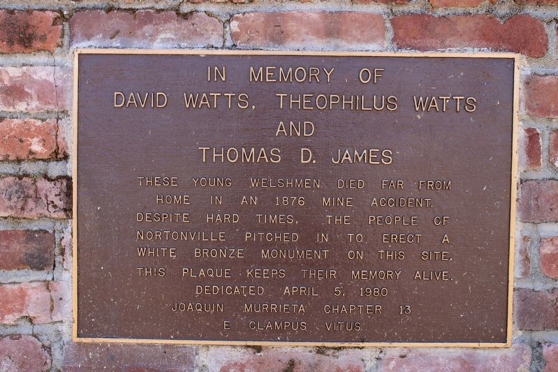
In Memory of
Inscription.
These young Welshmen died far from home in an 1876 mine accident. Despite hard times, these people of Nortonville pitched in to erect a white bronze monument on this site. This plaque keeps their memory alive.
Erected 1980 by Joaquin Murrieta Chapter 13, E Clampus Vitus.
Topics and series. This historical marker is listed in these topic lists: Cemeteries & Burial Sites • Disasters. In addition, it is included in the E Clampus Vitus series list. A significant historical year for this entry is 1876.
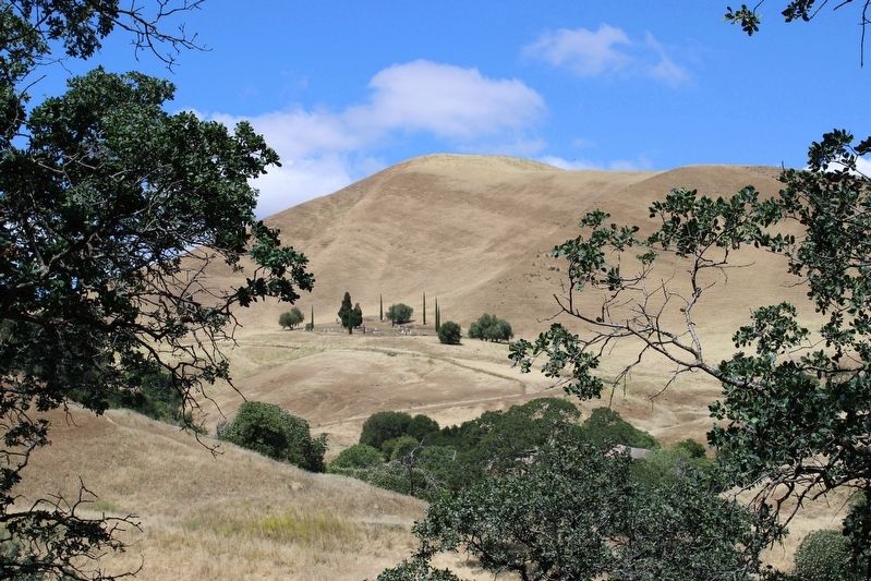
Location. 37° 57.456′ N, 121° 52.276′ W. Marker is in Somersville, California, in Contra Costa County. Marker can be reached from Nortonville Road near Somersville Road. The plaque is in the Rose Hill Cemetery, plot 50. The cemetery is part of the Black Diamond Mines Regional Preserve. Touch for map. Marker is in this post office area: Pittsburg CA 94565, United States of America. Touch for directions.
Other nearby markers. At least 8 other markers are within walking distance of this marker. Rose Hill Cemetery (within shouting distance of this marker); Greathouse Portal (approx. 0.4 miles away); Mount Diablo Coal Field (approx. 0.4 miles away); Eureka Slope (approx. 0.4 miles away); Somersville Townsite (approx. 0.4 miles away); Independent Mine (approx. 0.4 miles away); Black Diamond Mines Regional Preserve (approx. 0.4 miles away); a different marker also named Mount Diablo Coal Field (approx. 0.4 miles away).
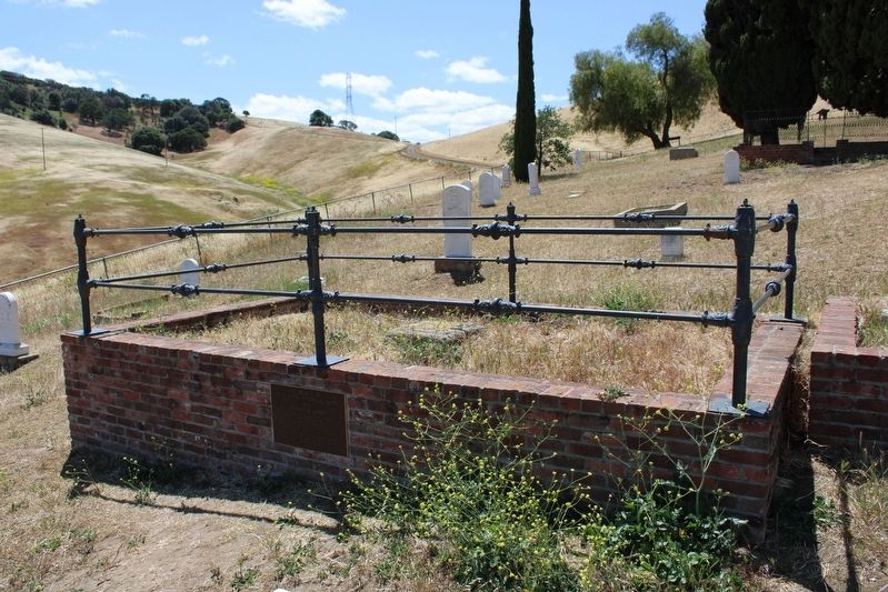
More about this marker. The plaque is mounted to a red brick retaining wall surrounding the plot.
Regarding David Watts, Theophilus Watts and Thomas D. James. The white bronze monument is no longer there and the headstones are missing.
Credits. This page was last revised on March 15, 2023. It was originally submitted on May 7, 2022, by Joseph Alvarado of Livermore, California. This page has been viewed 123 times since then and 31 times this year. Last updated on June 2, 2022, by Joseph Alvarado of Livermore, California. Photos: 1. submitted on May 7, 2022, by Joseph Alvarado of Livermore, California. 2, 3. submitted on May 8, 2022, by Joseph Alvarado of Livermore, California. • Bill Pfingsten was the editor who published this page.


