Derwood in Montgomery County, Maryland — The American Northeast (Mid-Atlantic)
Sustaining a Family
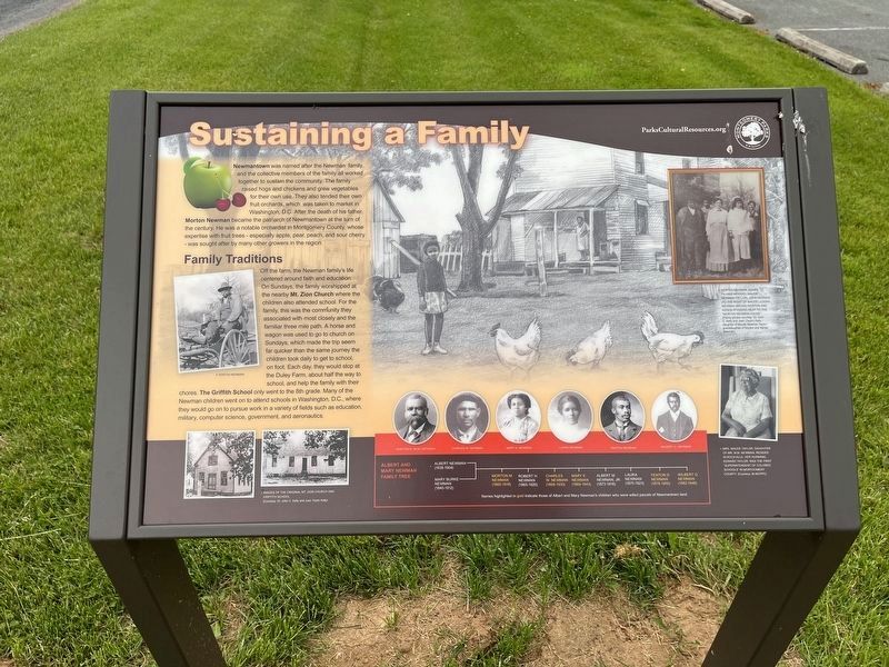
Newmantown was named after the Newman family, and the collective members of the family all worked together to sustain the community. The family raised hogs and chickens and grew vegetables for their own use. They also tended their own fruit orchards, which was taken to market in Washington, D.C. After the death of his father, Morton Newman became the patriarch of Newmantown at the turn of the century. He was a notable orchardist in Montgomery County, whose expertise with fruit trees — especially apple, pear, peach, and sour cherry — was sought after by many other growers in the region.
Family Traditions
Off the farm, the Newman family's life centered around faith and education. On Sundays, the family worshipped at the nearby Mt. Zion Church where the children also attended school. For the family, this was the community they associated with most closely and the familiar three mile path. A horse and wagon was used to go to church on Sundays, which made the trip seem far quicker than the same journey the children took daily to get to school, on foot. Each day, they would stop at the Duley Farm, about half the way to
this page online
[Captions:]
Morton Newman, Agnes Palmer Newman, Maude Newman (Taylor), John Newman (to the right of Maude), Logan Newman (behind Morton and Agnes) standing next to the Morton Newman House".
Mrs. Maude Taylor, daughter of Mr. M.M. Newman, resided in Rockville. Her husband, Edward Taylor, was the first "Superintendant of Colored Schools" in Montgomery County.
Erected by Montgomery Parks.
Topics and series. This historical marker is listed in these topic lists: African Americans • Agriculture • Education • Settlements & Settlers. In addition, it is included in the Maryland, Montgomery Parks series list.
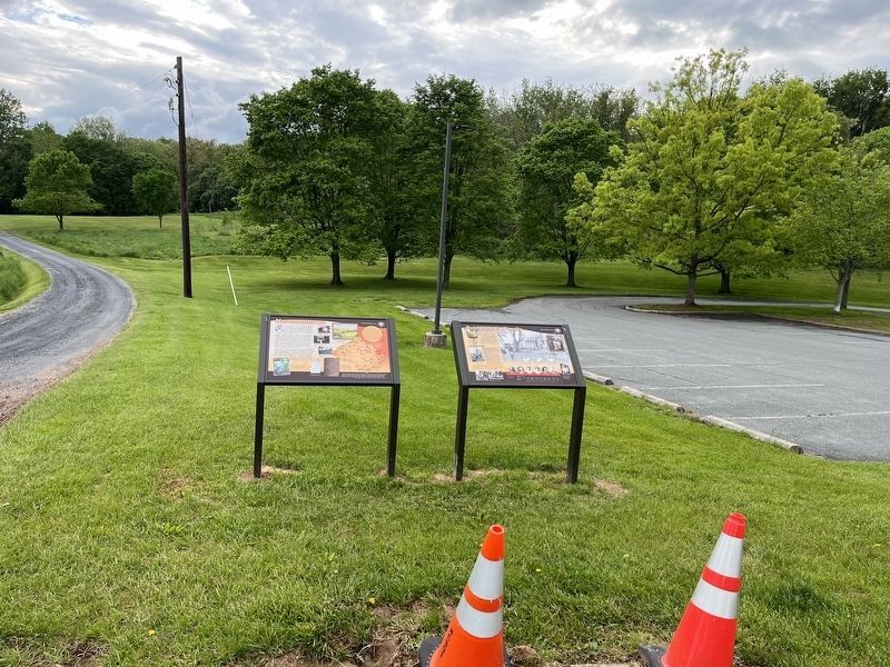
Location. 39° 9.894′ N, 77° 8.06′ W. Marker is in Derwood, Maryland, in Montgomery County. It is on Rock Creek Park Road 0.6 miles north of Muncaster Road, on

Regionally, this marker is in the Washington Metropolitan Area. It is also in the American Mid-Atlantic. Globally, it is in North America, the Western Hemisphere, the Western World, and the Anglosphere. Historically, it finds itself in what was once one of the original Thirteen Colonies and also the Antebellum South.
Other nearby markers. At least 8 other markers are within walking distance of this marker: Newmantown (here, next to this marker); Carriage Shed (approx. 0.2 miles away); Granary (approx. 0.2 miles away); Mike Roth (approx. 0.2 miles away); Corn Crib (approx. 0.2 miles away); Childhood and Slavery in Maryland (approx. 0.2 miles away); Bank Barn (approx. 0.2 miles away); Farming and Labor in Montgomery County (approx. 0.2 miles away). Touch for a list and map of all markers in Derwood.
Another marker is no longer nearby. Newmantown (was here, next to this marker but has been replaced with another marker now near it).
Credits. This page was last revised on May 10, 2023. It was originally submitted on May 14, 2022, by Devry Becker Jones of Washington, District of Columbia. This page has been viewed 263 times since then and 26 times this year. Photos: 1, 2. submitted on May 14, 2022, by Devry Becker Jones of Washington, District of Columbia.
