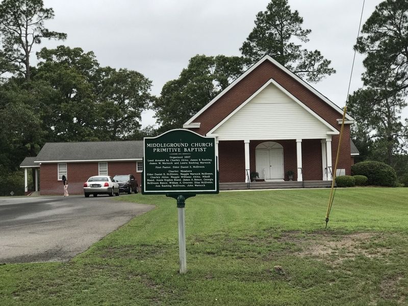
Near Statesboro in Bulloch County, Georgia — The American South (South Atlantic)
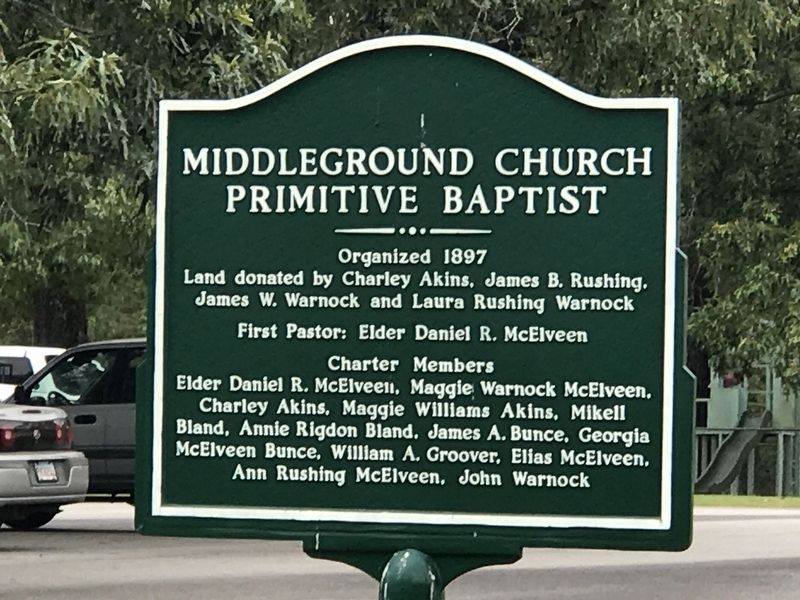
Middleground Church Primitive Baptist
Inscription.
Land donated by Charley Akins, James B. Rushing,
James W. Warnock and Laura Rushing Warnock
First Pastor: Elder Daniel R. McElveen
Charter Members
Elder Daniel R. McElveen, Maggie Warnock McElveen,
Charley Akins, Maggie Williams Akins, Mikell
Bland, Annie Rigdon Bland, James A. Bunce, Georgia
McElveen Bunce, William A. Groover, Elias McElveen,
Ann Rushing McElveen, John Warnock
Topics. This historical marker is listed in this topic list: Churches & Religion. A significant historical year for this entry is 1897.
Location. 32° 23.671′ N, 81° 45.557′ W. Marker is near Statesboro, Georgia, in Bulloch County. Marker is at the intersection of Harville Road and Langston Chapel Road, on the right when traveling south on Harville Road. Touch for map. Marker is at or near this postal address: 7198 Harville Rd, Statesboro GA 30458, United States of America. Touch for directions.
Other nearby markers. At least 8 other markers are within 3 miles of this marker, measured as the crow flies. Kiwanis Ogeechee Fair / Kiwanis Club of Statesboro (approx. 0.4 miles away); Marvin Summers Pittman (approx. 2.6 miles away); First District Agricultural and Mechanical School (approx. 2.6 miles away); Integration of Georgia Southern (approx. 2.6 miles away); Savannah & Statesboro Railway (approx. 2.7 miles away); Pioneer Turpentining Experiment (approx. 2.7 miles away); W. Jones Lane Memorial Highway (approx. 2.9 miles away); Burkhalter Road & Old Indian Trail (approx. 3.1 miles away). Touch for a list and map of all markers in Statesboro.
Also see . . . Middleground Primitive Baptist Church 1897-1997. Scan of booklet by the Bulloch County Historical Society in honor of the church's centennial. (Georgia Southern University Digital Commons) (Submitted on May 15, 2022, by Duane and Tracy Marsteller of Murfreesboro, Tennessee.)
Credits. This page was last revised on May 15, 2022. It was originally submitted on May 15, 2022, by Duane and Tracy Marsteller of Murfreesboro, Tennessee. This page has been viewed 139 times since then and 19 times this year. Photos: 1, 2. submitted on May 15, 2022, by Duane and Tracy Marsteller of Murfreesboro, Tennessee.

