Quincy in Norfolk County, Massachusetts — The American Northeast (New England)
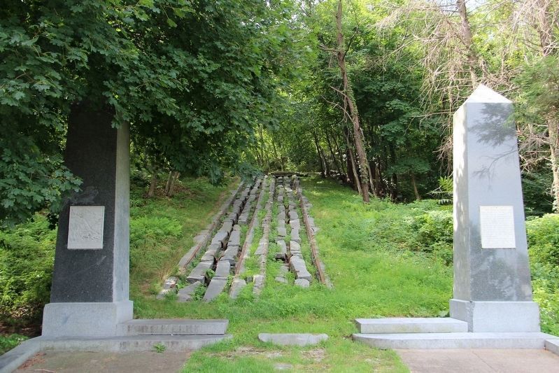
Granite Railway Incline
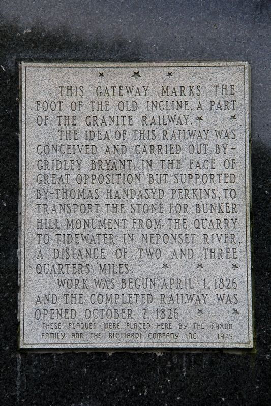
The idea of this railway was conceived and carried out by Gridley Bryant, in the face of great opposition but supported by Thomas Handasyd Perkins, to transport the stone for Bunker Hill Monument from the quarry to tidewater in Neponset River, a distance of two and three quarters miles.
Work was begun April 1, 1826 and the completed railway was opened October 7, 1826.
Erected 1975 by The Faxon Family • The Ricciardi Company, Inc.
Topics. This historical marker is listed in this topic list: Railroads & Streetcars. A significant historical date for this entry is October 7, 1826.
Location. 42° 14.765′ N, 71° 2.146′ W. Marker is in Quincy, Massachusetts, in Norfolk County. Marker is on Granite Rail Court, 0.2 miles east of Oconnell Avenue, on the right when traveling east. Touch for map. Marker is at or near this postal address: 63 Granite Rail Ct, Quincy MA 02169, United States of America. Touch for directions.
Other nearby markers. At least 8 other markers are within 2 miles of this marker, measured as the crow flies. The Granite Railway (a few steps from this marker); Old House (approx. 1.4 miles away); William Hutchinson's Grant (approx. 1.6 miles away); John Adams (approx. 1.6 miles away); John Hancock Birth Site (approx. 1.6 miles away); a different marker also named John Hancock Birth Site (approx. 1.6 miles away); Adams Academy (approx. 1.6 miles away); William Reynolds Dimmock LL.D. (approx. 1.6 miles away). Touch for a list and map of all markers in Quincy.
Also see . . . Granite Railway. Wikipedia entry on the charter railway, originally built to carry stone for the Bunker Hill Monument, popularly called the first U.S. commercial railroad because it evolved into a common carrier without an intervening closure. (Submitted on May 20, 2022, by Duane and Tracy Marsteller of Murfreesboro, Tennessee.)

cmh2315fl via Flickr (CC BY-NC 2.0), August 9, 2013
2. Granite Railway Incline Marker
Marker is on the right obelisk.

cmh2315fl via Flickr (CC BY-NC 2.0), August 9, 2013
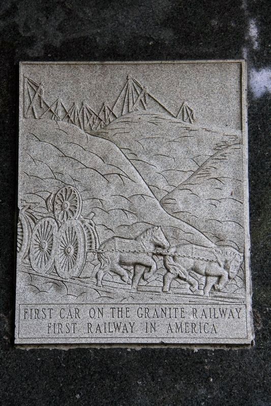
3. Etching on left obelisk
This depicts the incline railway in use.
Credits. This page was last revised on May 20, 2022. It was originally submitted on May 20, 2022, by Duane and Tracy Marsteller of Murfreesboro, Tennessee. This page has been viewed 235 times since then and 19 times this year. Photos: 1, 2, 3. submitted on May 20, 2022, by Duane and Tracy Marsteller of Murfreesboro, Tennessee.
