Greenville in Greenville County, South Carolina — The American South (South Atlantic)
Berea School
Photographed by Tom Bosse, May 13, 2022
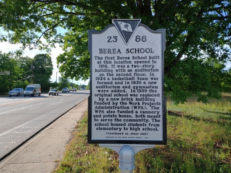
1. Berea School Marker (Front)
(front)
The first Berea School built at this location opened in 1916. It was a two-story building with an auditorium on the second floor. In 1924 a basketball team was formed and in 1930 a new auditorium and gymnasium were added. In 1939 the original school was replaced by a new brick building funded by the Work Projects Administration (WPA). The WPA also funded a cannery and potato house, both meant to serve the community. The school housed students from elementary to high school.
Erected 2018 by Berea Historic Society. (Marker Number 23-86.)
Topics. This historical marker is listed in this topic list: Education. A significant historical year for this entry is 1916.
Location. 34° 53.088′ N,
this page online

Regionally, this marker is in Upstate and in the Foothills. It is also in the American South, specifically in the Deep South, in Appalachia, and specifically in Southern Appalachia. Globally, it is in North America, the Western Hemisphere, the Western World, and the Anglosphere. Historically, it finds itself in what was once the original Cherokee Nation, the territory of the Mississippian Culture, one of the original Thirteen Colonies, one of the Confederate States of America, and the Antebellum South.
Other nearby markers. At least 8 other markers are within 3 miles of this marker, measured as the crow flies: Berea First Baptist Church (approx. 0.8 miles away); Union Bleachery (approx. 1.6 miles away); Irvin H. Philpot Highway (approx. 1.9 miles away); Poe Mill
Photographed by Tom Bosse, May 13, 2022
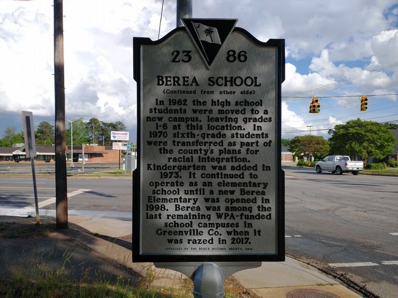
2. Berea School Marker (Back)
Photographed by Tom Bosse, May 13, 2022
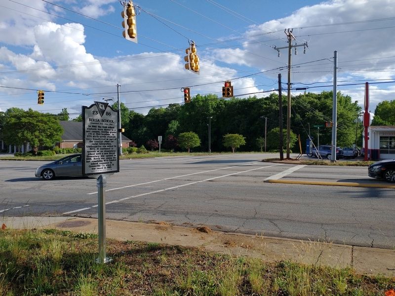
3. Berea School Marker
Photographed by Tom Bosse, May 13, 2022
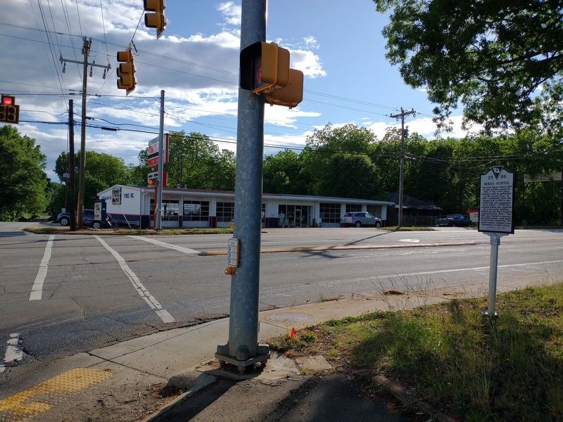
4. Berea School Marker
Credits. This page was last revised on May 24, 2022. It was originally submitted on May 20, 2022, by Tom Bosse of Jefferson City, Tennessee. This page has been viewed 964 times since then and 55 times this year. Photos: 1, 2, 3, 4. submitted on May 20, 2022, by Tom Bosse of Jefferson City, Tennessee. • Bernard Fisher was the editor who published this page.
