Greer in Greenville County, South Carolina — The American South (South Atlantic)
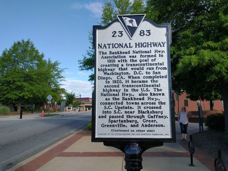
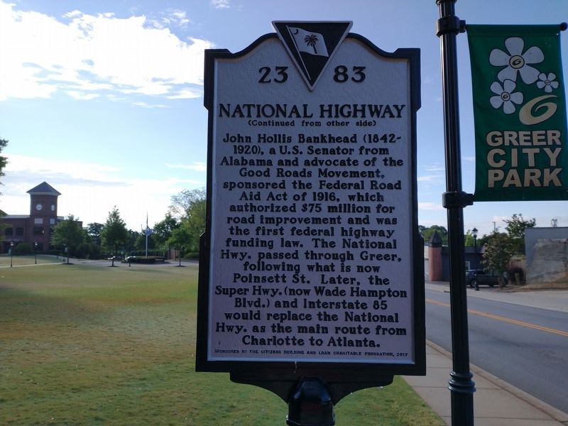
National Highway
(front)
The Bankhead National Hwy. Association was formed in 1916 with the goal of creating a transcontinental highway that would run from Washington, D.C. to San Diego, CA. When completed in 1920, it became the second transcontinental highway in the U.S. The National Hwy., also known as the Bankhead Hwy., connected towns across the S.C. Upstate. It crossed into S.C. near Blacksburg and passed through Gaffney, Spartanburg, Greer, Greenville, and Anderson.
Erected 2017 by Citizens Building and Loan Charitable Foundation. (Marker Number 23-83.)
Topics. This historical marker is listed in this topic list: Roads & Vehicles. A significant historical year for this entry is 1916.
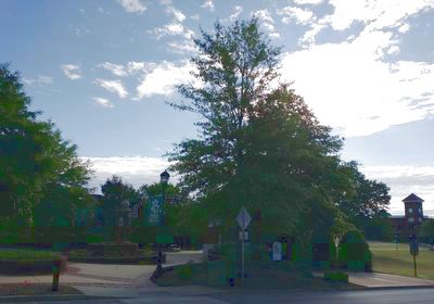
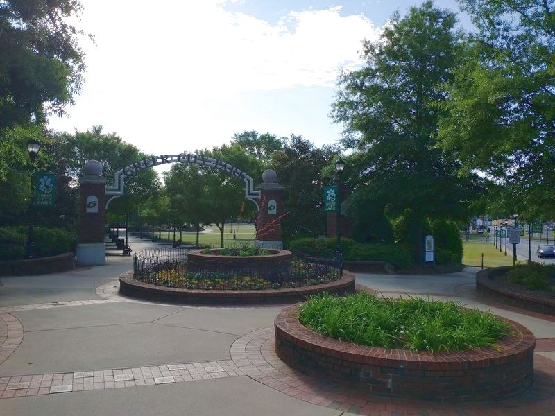
Location. 34° 56.265′ N, 82° 13.499′ W. Marker is in Greer, South Carolina, in Greenville County. Marker is at the intersection of East Poinsett Street (State Highway 101/290) and Depot Street, on the right when traveling west on East Poinsett Street. Marker located at the entrance to Greer City Park. Touch for map. Marker is at or near this postal address: 200 E Poinsett St, Greer SC 29651, United States of America. Touch for directions.
Other nearby markers. At least 8 other markers are within walking distance of this marker. 101 Trade Street (about 500 feet away, measured in a direct line); Indian Boundary Line (approx. 0.2 miles away); Stone Mortar (approx. 0.2 miles away); Tribute to Greer Firefighters (approx. 0.2 miles away); Worth Barnett Overpass (approx. 0.4 miles away); AH-1 Cobra Helicopter (approx. 0.4 miles away); Ronnie Eugene Norris Remembrance Fountain (approx. 0.4 miles away); All Wars Memorial (approx. half a mile away). Touch for a list and map of all markers in Greer.
Also see . . . Bankhead Highway. (Submitted on May 21, 2022, by Tom Bosse of Jefferson City, Tennessee.)
Credits. This page was last revised on May 24, 2022. It was originally submitted on May 21, 2022, by Tom Bosse of Jefferson City, Tennessee. This page has been viewed 297 times since then and 80 times this year. Photos: 1, 2, 3, 4. submitted on May 21, 2022, by Tom Bosse of Jefferson City, Tennessee. • Bernard Fisher was the editor who published this page.


