Greer in Greenville County, South Carolina — The American South (South Atlantic)
Col. John and Jane Thomas
John Jane Black Thomas emigrated to S.C. c.1755 from Chester Co., PA. John was a local magistrate and militia captain. As the Revolutionary War began, he was elected Colonel of the Spartan Regiment. Captured in 1779, he was held in Ninety Six and Charleston up to the end of the war. Returning to the upstate, John farmed here till death, October 2, 1811.
(back)
Jane Black Thomas was also a staunch whig. Learning of British plans to attack patriots at Cedar Spring, she rushed the intelligence to American forces. As a result, the patriots were able to spring an ambush. She boldly defended a cache of weapons stored on their place. Both John and Jane Thomas are buried here, in sight of their home, later owned by S.C. Chief Justice John Belton O’Neall.
Erected 2019 by Greenville County Historical Preservation Commission and Mark III Properties. (Marker Number 23-87.)
Topics. This historical marker is listed in these topic lists: Patriots & Patriotism • War, US Revolutionary. A significant historical date for this entry is October 2, 1811.
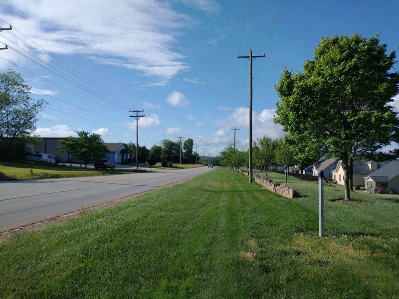
Location. Marker has been reported missing. It was located near 34° 59.734′ N, 82° 16.655′ W. Marker was in Greer, South Carolina , in Greenville County. Marker was at the intersection of State Highway 101 and Oneal Church Street, on the right when traveling south on State Highway 101. Touch for map. Marker was in this post office area: Greer SC 29651, United States of America. Touch for directions.
Other nearby markers. At least 8 other markers are within 5 miles of this location, measured as the crow flies. O'Neal Village (approx. 0.6 miles away); Gilreath's Mill (approx. 1.6 miles away); William Few Bridge (approx. 3.1 miles away); Methodist Men Memorial (approx. 3.2 miles away); Spring-Wood Park (approx. 4˝ miles away); Suber's Mill (approx. 4˝ miles away); Indian Boundary Line (approx. 4.6 miles away); William Preston Few (1867-1940) (approx. 4.7 miles away). Touch for a list and map of all markers in Greer.
Credits. This page was last revised on May 24, 2022. It was originally submitted on May 21, 2022, by Tom Bosse of Jefferson City, Tennessee. This page has been viewed 817 times since then and 80 times this year. Photos: 1. submitted on May 24, 2022. 2. submitted on May 21, 2022, by Tom Bosse of Jefferson City, Tennessee. • Bernard Fisher was the editor who published this page.

