Simpsonville in Greenville County, South Carolina — The American South (South Atlantic)
Old Pilgrim Baptist Church
⎯⎯⎯
Old Pilgrim Rosenwald School
Photographed by Tom Bosse, May 14, 2022
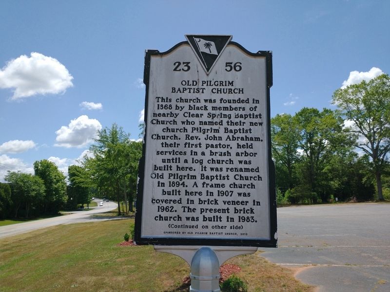
1. Old Pilgrim Baptist Church Marker
(front)
Old Pilgrim Baptist Church
This church was founded in 1868 by black members of nearby Clear Spring Baptist Church who named their new church Pilgrim Baptist Church. Rev. John Abraham, their first pastor, held services in a brush arbor until a log church was built here. It was renamed Old Pilgrim Baptist Church in 1894. A frame church built here in 1907 was covered in brick veneer in 1962. The present brick church was built in 1983.
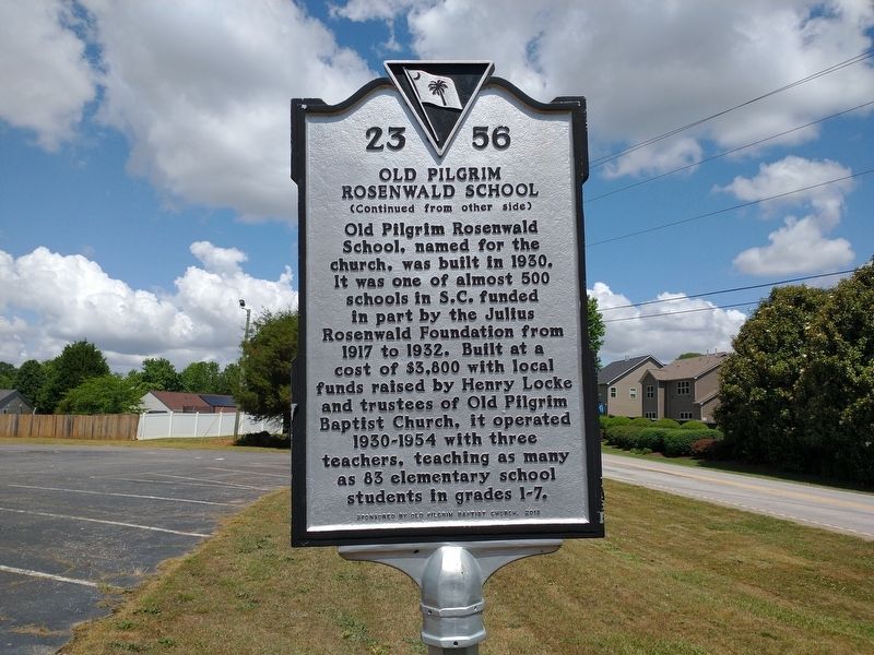
Old Pilgrim Rosenwald School
Erected 2013 by Old Pilgrim Baptist Church. (Marker Number 23-56.)
Topics and series. This historical marker is listed in these topic lists: African Americans • Education •
this page online
Location. 34° 47.607′ N, 82° 11.735′ W. Marker is in Simpsonville, South Carolina, in Greenville County. It is on Woodruff Road 0.1 miles south of Granary Drive, on the right when traveling south. Touch for map. Marker is at or near this postal address: 3540 Woodruff Road, Simpsonville SC 29681, United States of America. Touch for directions.

Regionally, this marker is in Upstate and in the Greater Greenville-Spartanburg Area. It is also in the American South, specifically in the Deep South, in Appalachia, and specifically in Southern Appalachia. Globally, it is in North America, the Western Hemisphere, the Western World, and the Anglosphere. Historically, it finds itself in what was once the original Cherokee Nation, the territory of the Mississippian Culture, one of the original Thirteen Colonies, one of the Confederate States of America, and the Antebellum South.
Other nearby markers. At least 8 other markers are within 5 miles of this marker, measured as the crow flies: Oakland Plantation
Photographed by Tom Bosse, May 14, 2022
2. Old Pilgrim Rosenwald School Marker
Also see . . . Old Pilgrim Baptist Church History. (Submitted on May 21, 2022, by Tom Bosse of Jefferson City, Tennessee.)
Photographed by Tom Bosse, May 14, 2022
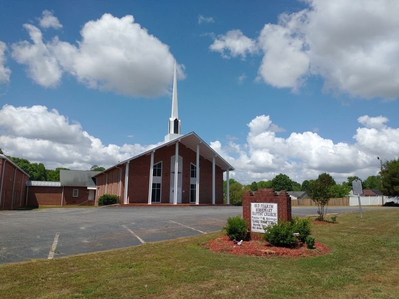
3. Old Pilgrim Baptist Church / Old Pilgrim Rosenwald School Marker
Credits. This page was last revised on May 23, 2022. It was originally submitted on May 21, 2022, by Tom Bosse of Jefferson City, Tennessee. This page has been viewed 455 times since then and 40 times this year. Photos: 1, 2, 3. submitted on May 21, 2022, by Tom Bosse of Jefferson City, Tennessee. • Bernard Fisher was the editor who published this page.
