Near Ohiopyle in Fayette County, Pennsylvania — The American Northeast (Mid-Atlantic)
Coal Mining
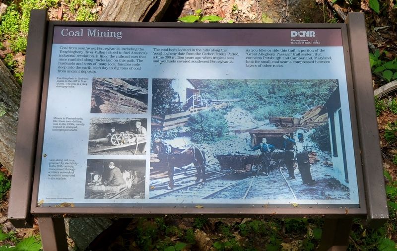
Coal from southwest Pennsylvania, including the Youghiogheny River Valley, helped to fuel America's industrial revolution. It filled the railroad cars that once rumbled along tracks laid on this path. The husbands and sons of many local families rode deep into the earth each day to dig tons of coal from ancient deposits.
The coal beds located in the hills along the Youghiogheny date from the Carboniferous Period, a time 300 million years ago when tropical seas and wetlands covered southwest Pennsylvania.
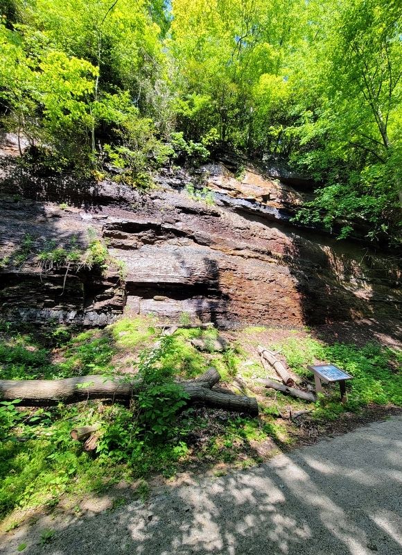
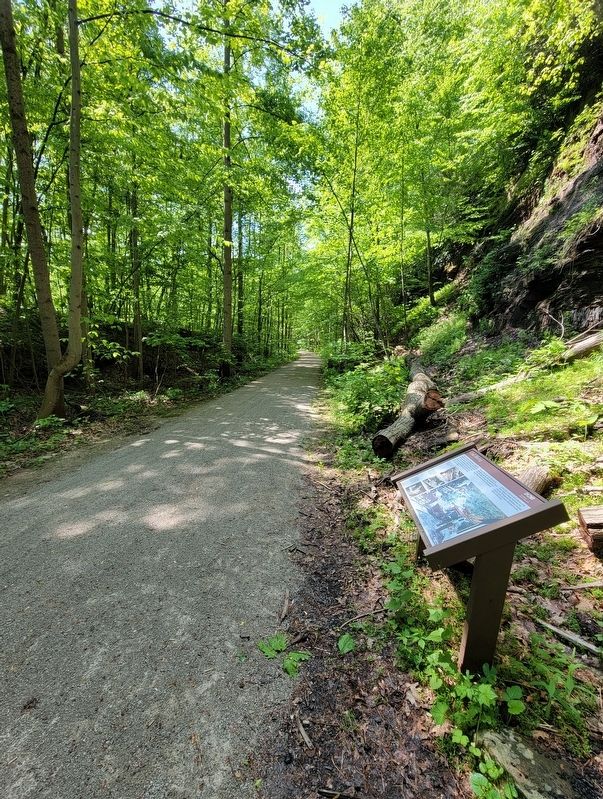
As you hike or ride this trail, a portion of the "Great Allegheny Passage" trail system that connects Pittsburgh and Cumberland, Maryland, look for small coal seams compressed between layers of other rocks.
[Captions]:
Use this photo to find coal seams in the cliff in front of you. The coal is a dark slate-gray color.
Miners in Pennsylvania, like these men drilling coal in the 1930s, usually worked in cramped, underground shafts.
Low-slung rail cars, powered by electricity in the 20th century, maneuvered through a mine's network of tunnels to carry coal to the surface.
Coal seam
Miners at the entrance of the Connellsville Mine
Photos Courtesy of the Rivers of Steel Archives
Erected by Department of Conservation and Natural Resources and Pennsylvania Bureau of State Parks.
Topics. This historical marker is listed in these topic lists: Industry & Commerce • Natural Resources • Parks & Recreational Areas • Railroads & Streetcars.
Location. 39° 54.4′ N, 79° 29.419′ W. Marker is near Ohiopyle, Pennsylvania, in Fayette County. Marker can be reached from Sheridan Street east of Main Street (Pennsylvania Route 381), on the left when traveling east. Marker can be reached from the Ohiopyle Trailhead of the Great Allegheny Passage trail between mile posts 75 and 76. Touch for map. Marker is at or near this postal address: 7 Sheridan Street, Ohiopyle PA 15470, United States of America. Touch for directions.
Other nearby markers. At least 8 other markers are within 3 miles of this marker, measured as the crow flies. Fallingwater (approx. 1.2 miles away); a different marker also named Fallingwater (approx. 1.4 miles away); A "Most Enchanting" Resort (approx. 2.4 miles away); Railroading (approx. 2˝ miles away); Ohiopyle (approx. 2˝ miles away); a different marker also named Ohiopyle (approx. 2˝ miles away); a different marker also named Ohiopyle (approx. 2.6 miles away); Veterans Memorial (approx. 2.6 miles away). Touch for a list and map of all markers in Ohiopyle.
Credits. This page was last revised on May 24, 2022. It was originally submitted on May 21, 2022, by Bradley Owen of Morgantown, West Virginia. This page has been viewed 313 times since then and 58 times this year. Photos: 1, 2, 3. submitted on May 21, 2022, by Bradley Owen of Morgantown, West Virginia. • Bill Pfingsten was the editor who published this page.


