Saint Marys in Perth County, Ontario — Central Canada (North America)
St. Marys Water Tower
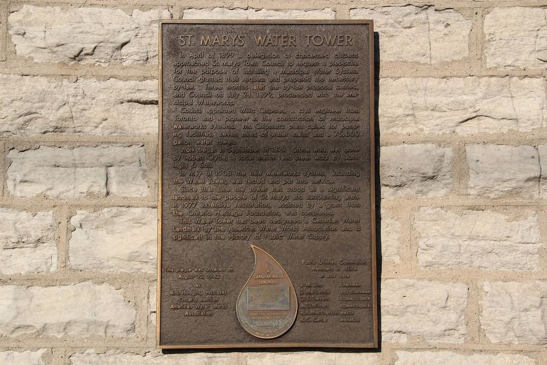
Council appointed Willis Chipman, a civil engineer from Toronto and a pioneer in the construction of municipal waterworks systems. Mr. Chipman's plans called for pumping facilities, seven miles of water mains and a 75,000 gallon water tower.
Work began in September of 1899. Stone work was done by Robert Clyde, a local mason and steel work by John Inglis & Son.
In May of 1900 the new waterworks system, including the water tower, was tested and put into service.
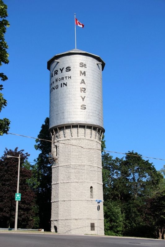
Since that time the tower has stood as a significant landmark to the people of St. Marys and surrounding area. In 1977 extensive restoration, assisted by a grant from the Ontario Heritage Foundation, was completed.
This water tower has been designated a Canadian Water Landmark by the American Water Works Association
this page online
Erected 1982 by American Water Works Association.
Topics. This historical marker is listed in this topic list: Notable Buildings. A significant historical month for this entry is May 1900.
Location. 43° 15.59′ N, 81° 8.205′ W. Marker is in Saint Marys, Ontario, in Perth County. It is at the intersection of Queen Street East (Provincial Highway 9) and James Street South, on the right when traveling east on Queen Street East. Touch for map. Marker is in this post office area: Saint Marys ON N4X N4X, Canada. Touch for directions.

Regionally, this marker is in the Huron-Perth-Waterloo-Wellington Area and in Southwestern Ontario. It is also in Central Canada. Globally, it is in North America, the Western Hemisphere, the Western World, and the Anglosphere. Historically, it finds itself in what was once a British colony, the Viceroyalty of New France, the Haudenosaunee (Iroquois) Confederacy, and Rupert’s Land.
Other nearby markers. At least 8 other markers are within walking distance of this marker: St. Marys Grand Trunk Station (within shouting distance of this
Credits. This page was last revised on May 21, 2022. It was originally submitted on May 21, 2022, by Duane and Tracy Marsteller of Murfreesboro, Tennessee. This page has been viewed 619 times since then and 54 times this year. Photos: 1, 2. submitted on May 21, 2022, by Duane and Tracy Marsteller of Murfreesboro, Tennessee.
