Country Club in Edina in Hennepin County, Minnesota — The American Midwest (Upper Plains)
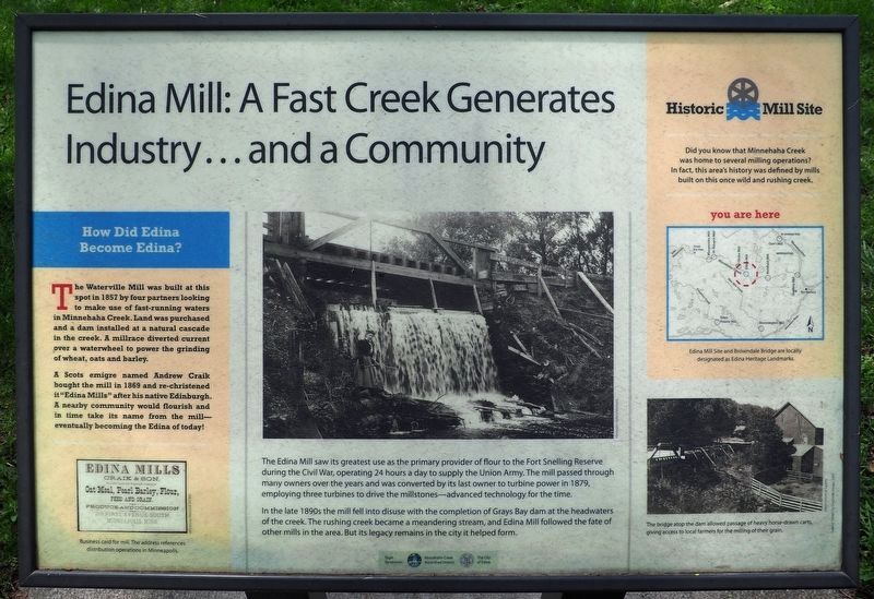
Edina Mill: A Fast Creek Generates Industry... and a Community
How Did Edina Become Edina?
The Waterville Mill was built at this spot in 1857 by four partners looking to make use of fast-running waters in Minnehaha Creek. Land was purchased and a dam installed at a natural cascade in the creek. A millrace diverted current over a waterwheel to power the grinding of wheat, oats and barley.
A Scots emigre named Andrew Craik bought the mill in 1869 and rechristened it "Edina Mills" after his native Edinburgh. A nearby community would flourish and in time take its name from the mill—eventually becoming the Edina of today!
The Edina Mill saw its greatest use as the primary provider of flour to the Fort Snelling Reserve during the Civil War, operating 24 hours a day to supply the Union Army. The mill passed through many owners over the years and was converted by its last owner to turbine power in 1879, employing three turbines to drive the millstones—advanced technology for the time.
In the late 1890s the mill fell into disuse with the completion of Grays Bay dam at the headwaters of the creek. The rushing creek became a meandering stream, and Edina Mill followed the fate of other mills in the area. Buts its legacy remains in the city it helped form.
Historic Mill Site
Did you know that Minnehaha Creek was home to several milling operations? In fact, this area's history was defined by mills built on this once wild and rushing creek.
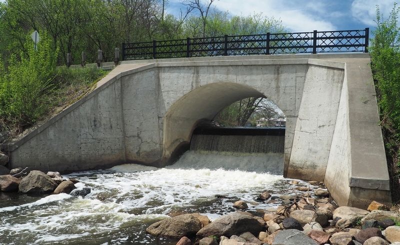
Caption: Edina Mill Site and Browndale Bridge are locally designated as Edina Heritage Landmarks.
Caption: The bridge atop the dam allowed passage of heavy horse-drawn carts, giving access to local farmers for the milling of their grain.
Erected by Minnehaha Creek Watershed District, The City of Edina.
Topics. This historical marker is listed in these topic lists: Agriculture • Industry & Commerce • Settlements & Settlers. A significant historical year for this entry is 1857.
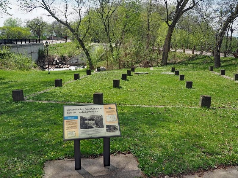
Location. 44° 54.742′ N, 93° 20.514′ W. Marker is in Edina, Minnesota, in Hennepin County. It is in Country Club. Marker can be reached from West 50th Street east of Browndale Avenue, on the left when traveling east. The marker is in Williams Park, along a path on the north side of W. 50th Street. There is a parking lot on either side of 50th Street a short distance to the east. Touch for map. Marker is in this post office area: Minneapolis MN 55424, United States of America. Touch for directions.
Other nearby markers. At least 8 other markers are within 2 miles of this marker, measured as the crow flies. Dwight Williams Park (here, next to this marker); Edina Mills (a few steps from this marker); A Creek, a Cause and Some Cows: Add Together, What Do You Get? (about
400 feet away, measured in a direct line); Edina Veterans Memorial (about 400 feet away); Minnehaha Grange Hall (approx. 0.4 miles away); Old Cahill School (approx. 0.4 miles away); Como–Harriet Streetcar Line (approx. 1.9 miles away); First School House (approx. 1.9 miles away). Touch for a list and map of all markers in Edina.
Credits. This page was last revised on February 12, 2023. It was originally submitted on May 21, 2022, by McGhiever of Minneapolis, Minnesota. This page has been viewed 527 times since then and 21 times this year. Photos: 1, 2, 3. submitted on May 21, 2022, by McGhiever of Minneapolis, Minnesota. • J. Makali Bruton was the editor who published this page.


