Huron-Kinloss in Bruce County, Ontario — Central Canada (North America)
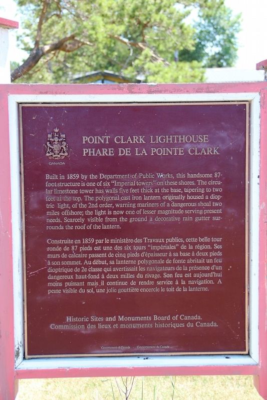
Point Clark Lighthouse / Phare de la Pointe Clark

cmh2315fl via Flickr (CC BY-NC 2.0), July 1, 2012
1. Point Clark Lighthouse / Phare de la Pointe Clark Marker
[Francais] Construite en 1859 par le ministère des Travaux publics, cette belle tour ronde de 87 pieds est une des six tours “impériales” de la région. Ses murs de calcaire passent de cinq pieds d’épaisseur à sa base à deux pieds à son sommet. Au début, sa lanterne polygonale de fonte abritait un feu dioptrique de 2e classe qui avertissait les navigateurs de la présence d’un dangereux haut-fond à deux milles du rivage. Son feu est aujourd’hui moins puissant mais il continue de rendre service à la navigation. A peine visible du sol, une jolie gouttière encercle le toit de la lanterne.
Erected by Historic Sites and Monuments Board of Canada/Commission des lieux et monuments historiques du Canada.
Topics and series. This historical marker is listed in these topic lists: Communications • Waterways & Vessels. In addition, it is included in the Canada, Historic Sites and Monuments Board, and the Lighthouses series lists. A significant historical year for this entry is 1859.
Location. 44° 4.368′ N, 81° 45.424′ W. Marker is in Huron-Kinloss, Ontario, in Bruce County. Marker is at the intersection of Cedar Trail and Lighthouse Road, on the right when traveling south on Cedar Trail. Touch for map. Marker is at or near this postal address: 529 Lighthouse Rd, Huron-Kinloss ON N0G 2R0, Canada. Touch for directions.

cmh2315fl via Flickr (CC BY-NC 2.0), July 1, 2012
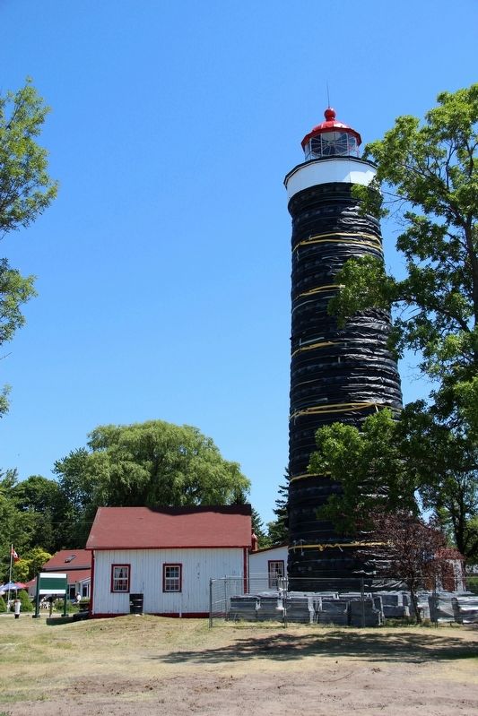
2. Point Clark Lighthouse / Phare de la Pointe Clark
Credits. This page was last revised on May 22, 2022. It was originally submitted on May 22, 2022, by Duane and Tracy Marsteller of Murfreesboro, Tennessee. This page has been viewed 63 times since then and 7 times this year. Photos: 1, 2. submitted on May 22, 2022, by Duane and Tracy Marsteller of Murfreesboro, Tennessee.
Editor’s want-list for this marker. Wide shot of marker and surrounding area in context. • Can you help?