Las Flores in Orange County, California — The American West (Pacific Coastal)
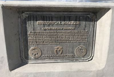
Oso Parkway Bridge
Historical Marker
Erected by Rancho Mission Viejo / Santa Margarita Company.
Topics and series. This historical marker is listed in these topic lists: Bridges & Viaducts • Exploration • Settlements & Settlers. In addition, it is included in the Portolá Expedition series list. A significant historical date for this entry is July 22, 1760.
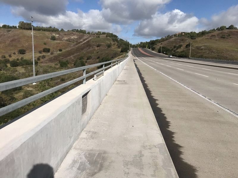
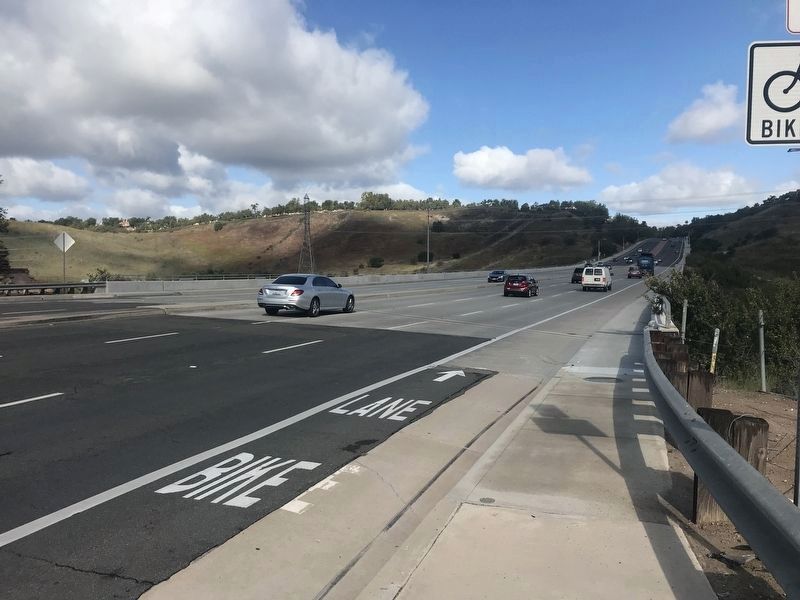
Location. 33° 35.089′ N, 117° 38.144′ W. Marker is in Las Flores, California, in Orange County. Marker is on Oso Parkway, on the right when traveling east. Touch for map. Marker is in this post office area: Rancho Santa Margarita CA 92688, United States of America. Touch for directions.
Other nearby markers. At least 8 other markers are within 2 miles of this marker, measured as the crow flies. A different marker also named Oso Parkway Bridge (approx. ¼ mile away); Sergeant Matt Davis Park (approx. 0.4 miles away); World Cup Soccer Training Facility (approx. 1.4 miles away); Reese Joseph Imhoff (approx. 1.4 miles away); Oso Creek Trail (approx. 1.4 miles away); Celebration Garden (approx. 1½ miles away); a different marker also named Oso Creek Trail (approx. 1½ miles away); Library Rose Garden (approx. 1.6 miles away).
More about this marker. This is one of two identical markers on the Oso Parkway Bridge. This listing is for the marker on the south side of the bridge.
Credits. This page was last revised on February 7, 2023. It was originally submitted on April 22, 2022, by Adam Margolis of Mission Viejo, California. This page has been viewed 194 times since then and 11 times this year. Last updated on May 23, 2022, by Adam Margolis of Mission Viejo, California. Photos: 1, 2, 3, 4. submitted on April 22, 2022, by Adam Margolis of Mission Viejo, California. • J. Makali Bruton was the editor who published this page.


