Brunswick in Chariton County, Missouri — The American Midwest (Upper Plains)
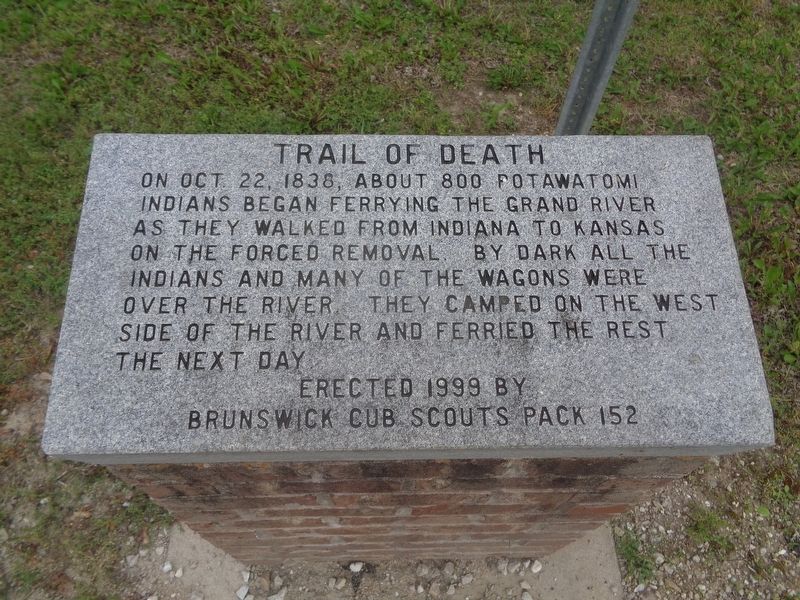
Trail of Death
Erected 1999 by Brunswick Cub Scouts Pack 152.
Topics and series. This historical marker is listed in this topic list: Native Americans. In addition, it is included in the Potawatomi Trail of Death series list. A significant historical year for this entry is 1838.
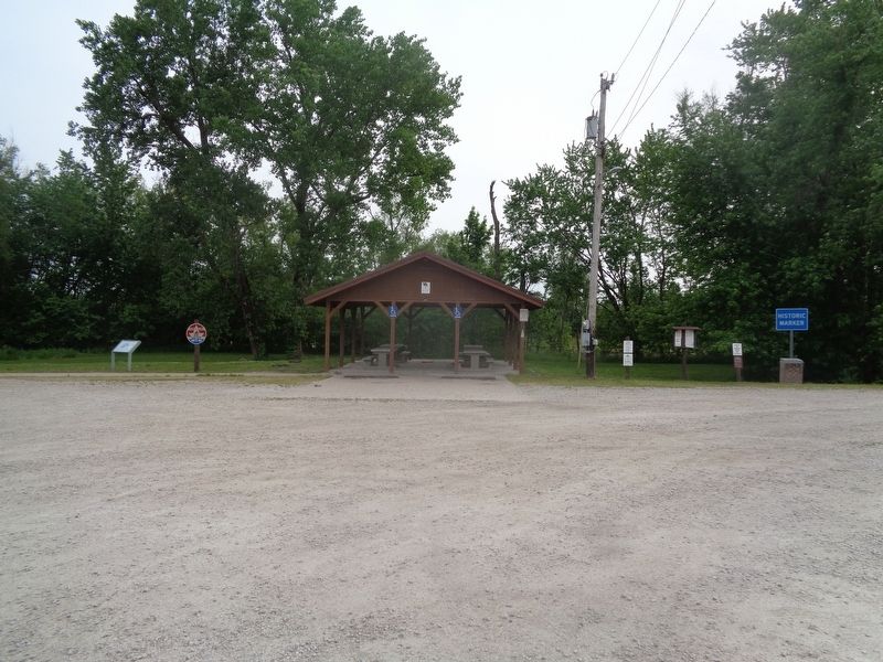
Location. 39° 25.329′ N, 93° 7.925′ W. Marker is in Brunswick, Missouri, in Chariton County. Marker can be reached from South Polk Street near East Mulberry Street, on the right. Marker is located at the Brunswick Access Park. Touch for map. Marker is at or near this postal address: 199 S Polk St, Brunswick MO 65236, United States of America. Touch for directions.
Other nearby markers. At least 8 other markers are within 15 miles of this marker, measured as the crow flies. "World's Largest Pecan" (about 600 feet away, measured in a direct line); Fort Orleans (approx. 5.4 miles away); a different marker also named Trail of Death (approx. 5.4 miles away); a different marker also named Fort Orleans (approx. 5.4 miles away); Keytesville (approx. 10.2 miles away); Potawatomi Indians (approx. 10˝ miles away); General Sterling Price (approx. 10˝ miles away); Replica of The Statue of Liberty (approx. 14.2 miles away).
Credits. This page was last revised on May 24, 2022. It was originally submitted on May 23, 2022, by Jason Voigt of Glen Carbon, Illinois. This page has been viewed 136 times since then and 18 times this year. Photos: 1, 2. submitted on May 23, 2022, by Jason Voigt of Glen Carbon, Illinois.

