Bowling Green in Warren County, Kentucky — The American South (East South Central)
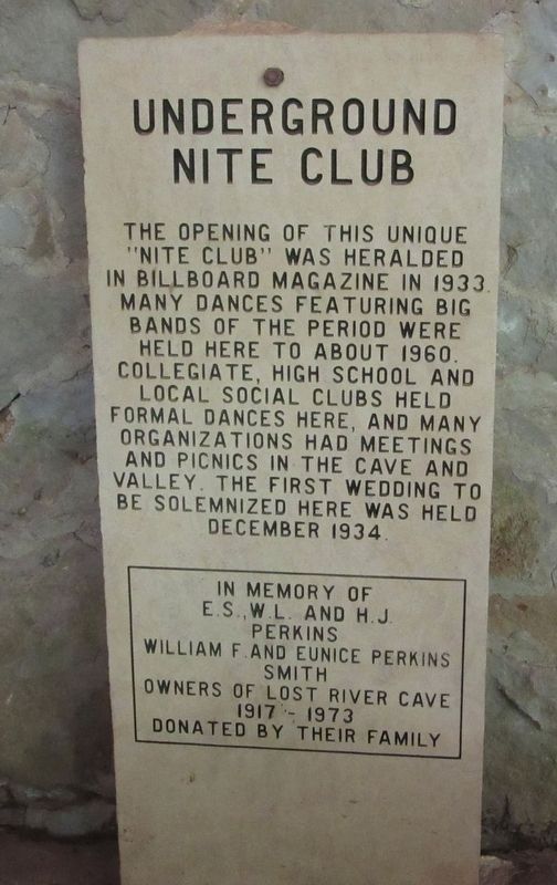
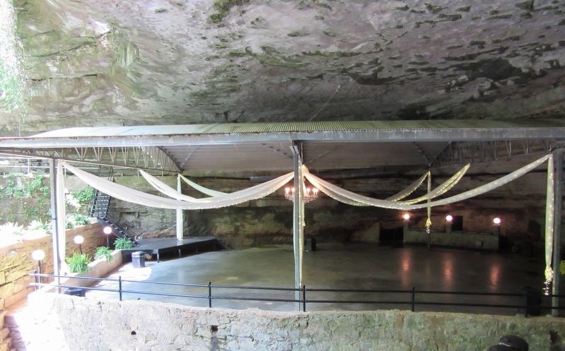
Underground Nite Club
In memory of E.S., W.L, and H.J. Perkins William F. and Eunice Perkins Smith Owners of Lost River Cave
1917 - 1973
Donated by their family
Erected by Perkins Family.
Topics. This historical marker is listed in these topic lists: Arts, Letters, Music • Entertainment. A significant historical year for this entry is 1933.
Location. 36° 57.198′ N, 86° 28.295′ W. Marker is in Bowling Green, Kentucky, in Warren County. Marker is on Nashville Road (U.S. 31) west of Nashville Road, on the left when traveling west. Located along the trails on the grounds of the Lost River Cave & Valley Park. Touch for map. Marker is at or near this postal address: 2818 Nashville Rd, Bowling Green KY 42104, United States of America. Touch for directions.
Other nearby markers. At least 8 other markers are within walking distance of this marker. Civil War Camps (within shouting distance of this marker); Lost River Cave & Valley (within shouting distance of this marker); Lost River Blue Holes, Trees, Wild Flowers And Quarrying Ruins (within shouting distance of this marker); Protecting A Natural Treasure (within shouting distance of this marker); Lost River Cave and Valley (about 500 feet away, measured in a direct line); The Old Mill Dam (about 600 feet away); Morgan's Command Organized (about 600 feet away); Tourist Court (about 600 feet away). Touch for a list and map of all markers in Bowling Green.
Credits. This page was last revised on May 28, 2022. It was originally submitted on May 25, 2022, by Jason Armstrong of Talihina, Oklahoma. This page has been viewed 273 times since then and 53 times this year. Photos: 1, 2. submitted on May 25, 2022, by Jason Armstrong of Talihina, Oklahoma. • Mark Hilton was the editor who published this page.
Editor’s want-list for this marker. Photo of the marker in context with its surroundings? • Can you help?

