Central Vancouver in Metro Vancouver, British Columbia — Canada’s West Coast (North America)
The Lions' Gate Bridge
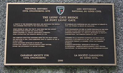
National Historic Civil Engineering Site
⎯⎯⎯
Le pont Lions' Gate
Lieu historique national de gé
cmh2315fl via Flickr (CC BY-NC 2.0), August 8, 2010
1. The Lions' Gate Bridge / Le pont Lions' Gate Marker
When opened in 1938, the 1550 ft. main span was the longest suspension span outside the United States. Design engineer: P. L. Pratley (Monsarrat & Pratley). Steel Contractor: The Dominion Bridge Co. Ltd.
The complete structure suspended from the two main cables was replaced in 2001, while remaining open to traffic by day. A world’s first. Design engineers: Buckland & Taylor Ltd. Contractor: American Bridge/Surespan Joint Venture. Owner: The Government of British Columbia.
[Francais] En hommage aux ingénieurs qui ont construit et rénové ce pont, qui évoque la region de Vancouver.
À son inauguration, en 1938, la travée principale de 1550 pieds en faisait le plus long pont suspendu hors des États-Unis. Ingénieur concepteur: P. L. Pratley (Monsarrat & Pratley). Constructeur: The Dominion Bridge Co. Ltd.
L’ensemble de la charpente suspendue aux deux câbles principaux a été remplacé en 2001, sans interrompre la circulation pendant la journée. C’était un première mondiale. Ingénieur concepteur: Buckland
this page online
Erected 2006 by Canadian Society for Civil Engineering/La société canadienne de génie civil.
Topics. This historical marker is listed in this topic list: Bridges & Viaducts. A significant historical year for this entry is 1938.
Location. 49° 18.712′ N, 123° 8.511′ W. Marker is in Vancouver, British Columbia, in Metro Vancouver. It is in Central Vancouver. It can be reached from Lions Gate Bridge (Provincial Highway 99) north of Stanley Park Drive, on the right when traveling south. Marker is on the west face of the west abutment of the south end of the bridge, in Stanley Park. It is only accessible by foot. Touch for map. Marker is in this post office area: Vancouver BC V6G 3E2, Canada. Touch for directions.

Regionally, this marker is on the Lower Mainland and in Coast & Mountains. Globally, it is in North America, in the Cascade Range, in the Inside Passage, on the Ring of Fire, on the Pacific Rim, in the Western Hemisphere, in the Western World, and in the Anglosphere. Historically, it
Photographed by Adam Margolis, October 9, 2023
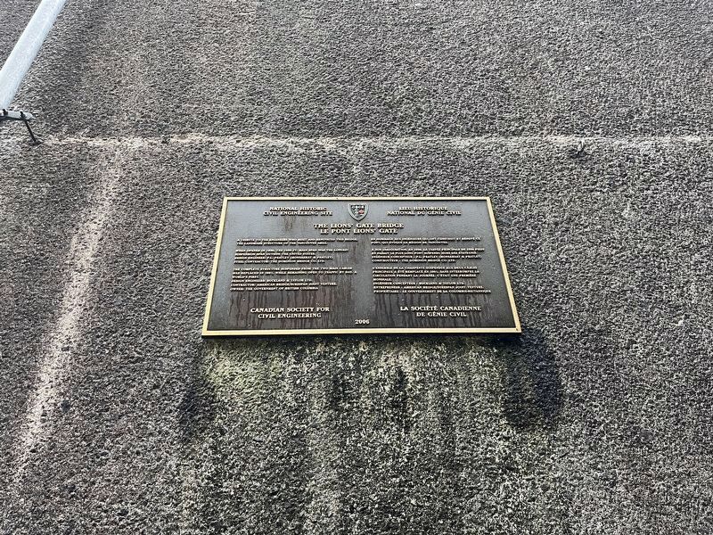
2. The Lions' Gate Bridge / Le pont Lions' Gate Marker
Other nearby markers. At least 8 other markers are within walking distance of this marker: Lions Gate Bridge (about 90 meters away, measured in a direct line); The Evolution of Stanley Park (about 120 meters away); Windstorm of December 2006 (about 150 meters away); Welcome to Lowden's Lookout (about 180 meters away); Beaver (approx. 0.2 kilometers away); Disasters and Narrow Escapes (approx. 0.2 kilometers away); A Position of Honour (approx. 1.3 kilometers away); Japanese Canadian War Memorial (approx. 1.4 kilometers away). Touch for a list and map of all markers in Vancouver.
Photographed by Adam Margolis, October 9, 2023
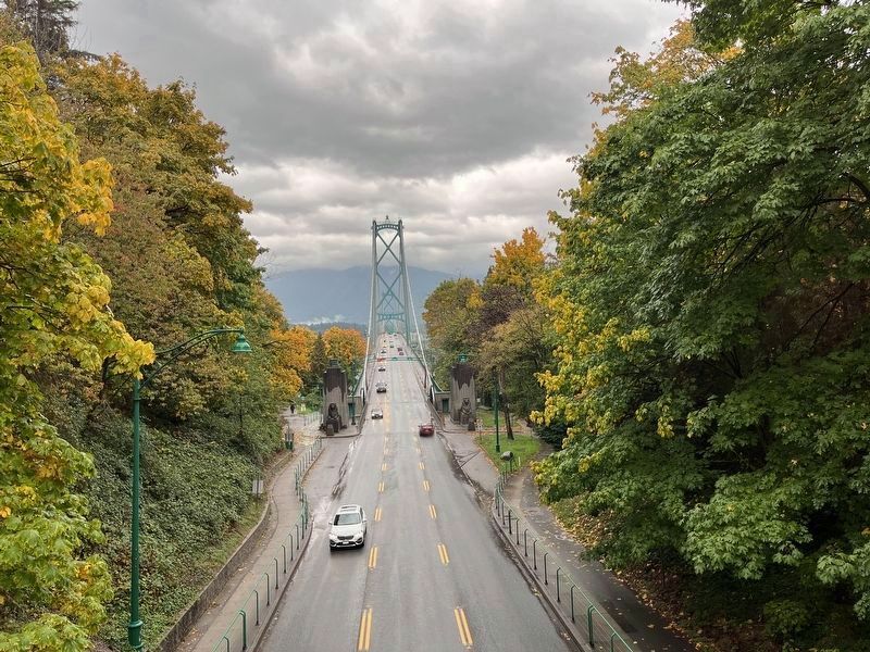
3. The Lions' Gate Bridge / Le pont Lions' Gate Marker
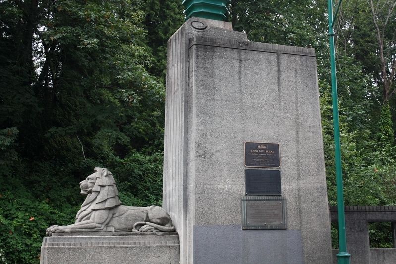
Marker facing away from roadway on the leftmost lion.

Photographed by Adam Margolis, October 9, 2023
4. The Lions' Gate Bridge / Le pont Lions' Gate Marker
The marker's location indicated by the red circle.
cmh2315fl via Flickr (CC BY-NC 2.0), August 8, 2010
5. The Lions' Gate Bridge
The marker is on the opposite (pedestrian) side of this abutment.
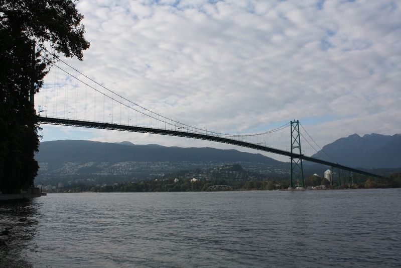
cmh2315fl via Flickr (CC BY-NC 2.0), August 10, 2010
6. The Lions' Gate Bridge / Le pont Lions' Gate
Credits. This page was last revised on February 4, 2024. It was originally submitted on May 26, 2022, by Duane and Tracy Marsteller of Murfreesboro, Tennessee. This page has been viewed 307 times since then and 48 times this year. Photos: 1. submitted on May 26, 2022, by Duane and Tracy Marsteller of Murfreesboro, Tennessee. 2, 3, 4. submitted on November 12, 2023, by Adam Margolis of Mission Viejo, California. 5, 6. submitted on May 26, 2022, by Duane and Tracy Marsteller of Murfreesboro, Tennessee.
Editor’s want-list for this marker. Wide shot of marker and surrounding area in context. • Can you help?
