San Marcos in Hays County, Texas — The American South (West South Central)
Founding of the First Methodist Church
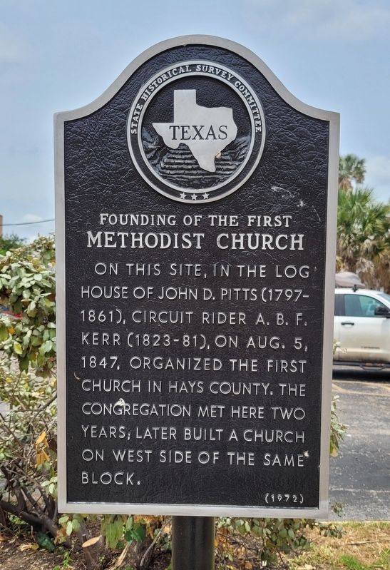
Photographed by James Hulse, May 24, 2022
1. Founding of the First Methodist Church Marker
Erected 1972 by State Historical Survey Committee. (Marker Number 10270.)
Topics. This historical marker is listed in this topic list: Religion & Religious Structures. A significant historical date for this entry is August 5, 1847.
Location. 29° 53.012′ N, 97° 56.502′ W. Marker is in San Marcos, Texas, in Hays County. It is at the intersection of North Guadalupe Street (State Highway 82) and East Hopkins Street, on the left when traveling north on North Guadalupe Street. The marker is located along the street. Touch for map. Marker is at or near this postal address: 231 North Guadalupe Street, San Marcos TX 78666, United States of America. Touch for directions.

Regionally, this marker is in the Hill Country and in the Austin Metropolitan Area. It is also in the American South. Globally, it is in North America, a Gulf of Mexico state, the Western Hemisphere, the Western World, and the Anglosphere. Historically, it finds itself in what was once New Spain, the Republic of Texas, one of the Confederate States of America, and the Antebellum South.
Other nearby markers. At least 8 other markers are within walking distance of this marker: The Newton Gang (within shouting distance of this marker); 100 West Hopkins (within shouting distance of this marker); 107 E Hopkins Street (within shouting distance of this marker); Glover-Wood Building (within shouting distance of this marker); 131 North Guadalupe (about 300 feet away, measured in a direct line); Hardy Williams Building (about 300 feet away); The Old Triangle (about 300 feet away); First United Methodist Church
this page online
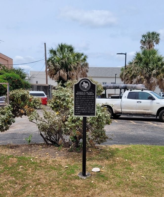
Photographed by James Hulse, May 24, 2022
2. The Founding of the First Methodist Church Marker along the street
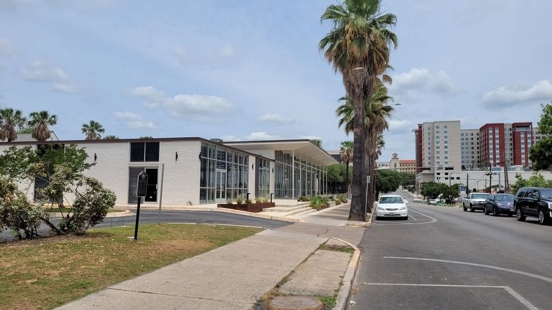
Photographed by James Hulse, May 24, 2022
3. The view of the Founding of the First Methodist Church Marker from the street
Credits. This page was last revised on May 26, 2022. It was originally submitted on May 26, 2022, by James Hulse of Medina, Texas. This page has been viewed 262 times since then and 31 times this year. Photos: 1, 2, 3. submitted on May 26, 2022, by James Hulse of Medina, Texas.
