Wilton in Hillsborough County, New Hampshire — The American Northeast (New England)
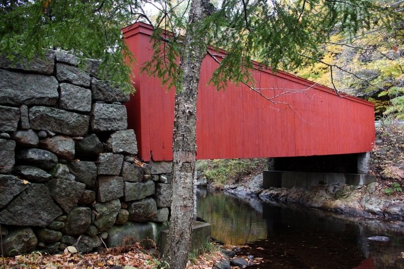
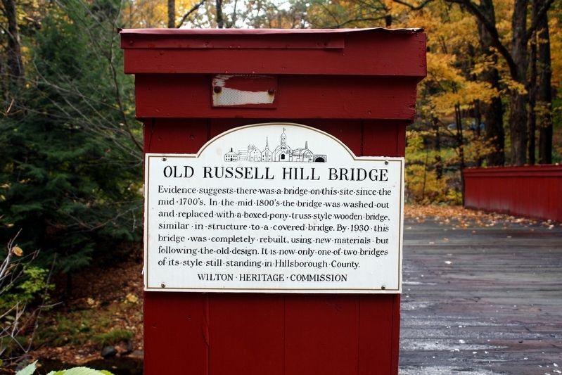
Old Russell Hill Bridge
Erected by Wilton Heritage Commission.
Topics. This historical marker is listed in this topic list: Bridges & Viaducts. A significant historical year for this entry is 1930.
Location. 42° 49.767′ N, 71° 46.693′ W. Marker is in Wilton, New Hampshire, in Hillsborough County. Marker is on Gibbons Highway (State Highway 101) 0.1 miles north of Russell Hill Road, on the left when traveling north. Touch for map. Marker is in this post office area: Wilton NH 03086, United States of America. Touch for directions.
Other nearby markers. At least 8 other markers are within 11 miles of this marker, measured as the crow flies. Village Cemetery (approx. 3.8 miles away); Temple Glass Factory (approx. 3.8 miles away); Uncle Sam’s House (approx. 6.3 miles away); Captain Josiah Crosby / Lieutenant Thompson Maxwell (approx. 6.8 miles away); The War Of The Rebellion (approx. 9.3 miles away); Toll House and Toll Gate (approx. 10 miles away); Levi Woodbury 1789 - 1851 (approx. 11 miles away); Home of the Molly Stark Cannon (approx. 11.1 miles away).
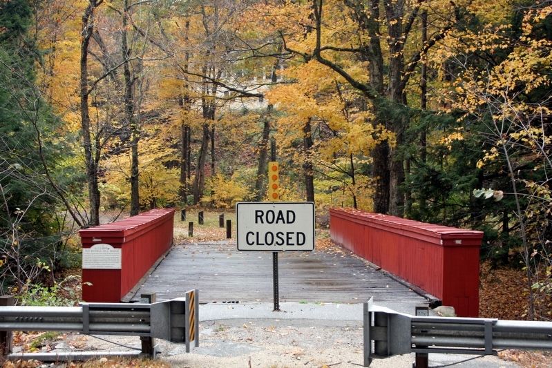
Regarding Old Russell Hill Bridge. It also has been called Livermore Bridge for Rev. Jonathon Livermore, who built a dam and a sawmill upstream from the creek crossing in the late 1700s. The bridge was closed to traffic in 2003 after Russell Hill Road was rerouted to connect with Gibbons Highway (NH-101) farther downstream.
Also see . . . Livermore Bridge (PDF). Historic American Engineering Record report on the bridge, the only known example of a timber, half-through, pony lattice truss in North America. (Dr. Mark M. Brown, National Park Service) (Submitted on May 27, 2022, by Duane and Tracy Marsteller of Murfreesboro, Tennessee.)

cmh2315fl via Flickr (CC BY-NC 2.0), October 13, 2009
3. Old Russell Hill Bridge
Side view of the bridge.
Credits. This page was last revised on May 27, 2022. It was originally submitted on May 27, 2022, by Duane and Tracy Marsteller of Murfreesboro, Tennessee. This page has been viewed 189 times since then and 47 times this year. Photos: 1, 2, 3. submitted on May 27, 2022, by Duane and Tracy Marsteller of Murfreesboro, Tennessee.

